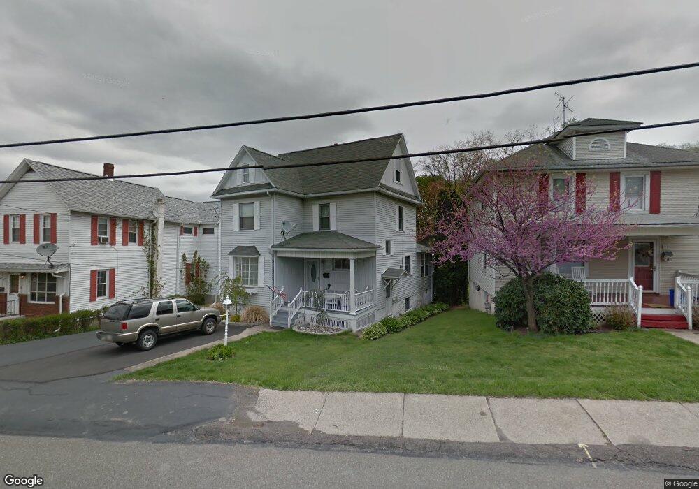
70 Center St Hughestown, PA 18640
Estimated Value: $172,000 - $211,000
--
Bed
--
Bath
2,590
Sq Ft
$71/Sq Ft
Est. Value
About This Home
This home is located at 70 Center St, Hughestown, PA 18640 and is currently estimated at $182,627, approximately $70 per square foot. 70 Center St is a home located in Luzerne County with nearby schools including Pittston City Intermediate Center, Pittston Area Middle School, and Pittston Area Senior High School.
Ownership History
Date
Name
Owned For
Owner Type
Purchase Details
Closed on
Sep 7, 2022
Sold by
Driver Sepesy Rachel
Bought by
Moss Kyle Brian
Current Estimated Value
Purchase Details
Closed on
Jun 6, 2013
Sold by
Risinger Amy W and Driver Charlotte M
Bought by
Driver Charlotte M
Purchase Details
Closed on
Jun 15, 2006
Sold by
Mammarella Vincent and Mammarella Doris Mae
Bought by
Risinger Amy W and Driver Charlotte M
Purchase Details
Closed on
Jan 4, 2005
Sold by
Mammarella Vincent and Mammarella Doris Mae
Bought by
Nagy Nancy M
Create a Home Valuation Report for This Property
The Home Valuation Report is an in-depth analysis detailing your home's value as well as a comparison with similar homes in the area
Home Values in the Area
Average Home Value in this Area
Purchase History
| Date | Buyer | Sale Price | Title Company |
|---|---|---|---|
| Moss Kyle Brian | $135,000 | -- | |
| Driver Charlotte M | -- | None Available | |
| Risinger Amy W | -- | None Available | |
| Nagy Nancy M | $150,000 | None Available |
Source: Public Records
Tax History Compared to Growth
Tax History
| Year | Tax Paid | Tax Assessment Tax Assessment Total Assessment is a certain percentage of the fair market value that is determined by local assessors to be the total taxable value of land and additions on the property. | Land | Improvement |
|---|---|---|---|---|
| 2025 | $2,155 | $85,200 | $19,100 | $66,100 |
| 2024 | $2,155 | $85,200 | $19,100 | $66,100 |
| 2023 | $2,155 | $85,200 | $19,100 | $66,100 |
| 2022 | $2,139 | $85,200 | $19,100 | $66,100 |
| 2021 | $2,097 | $85,200 | $19,100 | $66,100 |
| 2020 | $2,049 | $85,200 | $19,100 | $66,100 |
| 2019 | $2,033 | $85,200 | $19,100 | $66,100 |
| 2018 | $1,968 | $85,200 | $19,100 | $66,100 |
| 2017 | $1,924 | $85,200 | $19,100 | $66,100 |
| 2016 | -- | $85,200 | $19,100 | $66,100 |
| 2015 | -- | $85,200 | $19,100 | $66,100 |
| 2014 | -- | $85,200 | $19,100 | $66,100 |
Source: Public Records
Map
Nearby Homes
- 422 Rockledge Dr
- 420 Rockledge Dr
- 408 Rockledge Dr
- 305 Parsonage St
- 208 Parsonage St
- 20 Drummond St
- 186 Parsonage St
- 129 Parsonage St
- 105 Church St Unit 105&107
- 105 Church St Unit 1 & 2
- 93 1/2 Carroll St
- 80 Parsonage St Unit REAR
- 17 Sand St
- 47 Mill St
- 0 Rock St
- 19 Rock St
- 3102 Market St
- 50 Bryden St
- Lot 32 Cremard Blvd
- 25 Poole St