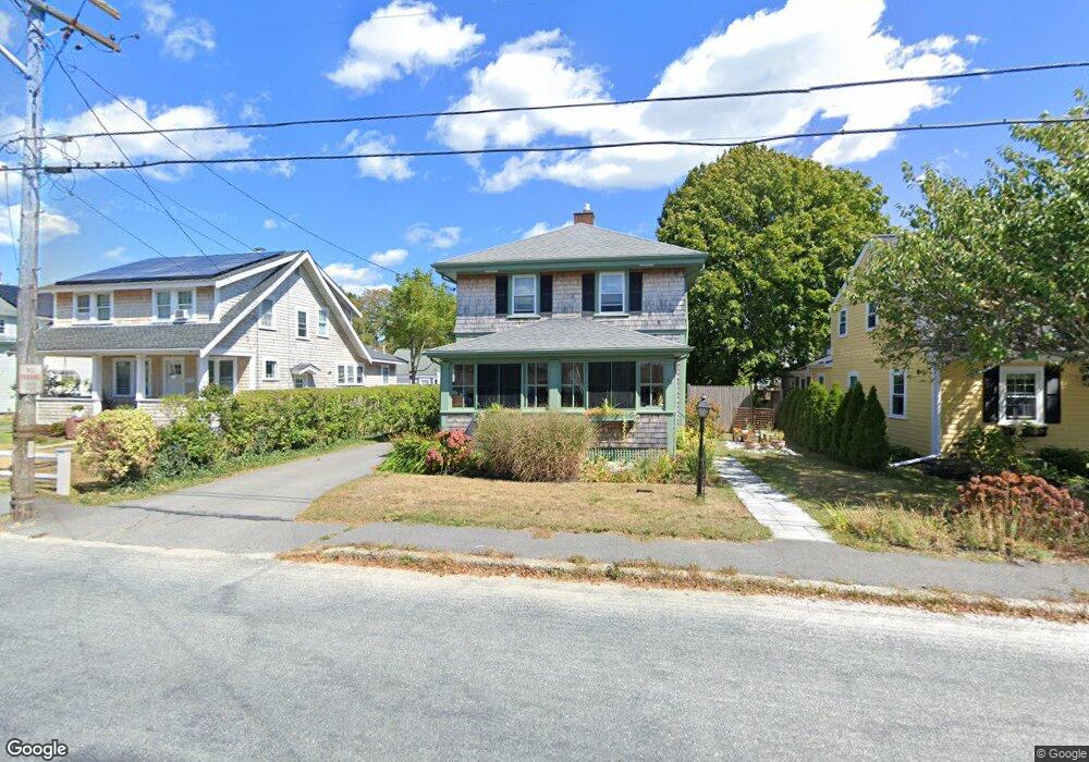
70 Chase St Hyannis, MA 02601
Estimated Value: $503,000 - $589,000
3
Beds
1
Bath
1,001
Sq Ft
$525/Sq Ft
Est. Value
About This Home
This home is located at 70 Chase St, Hyannis, MA 02601 and is currently estimated at $525,920, approximately $525 per square foot. 70 Chase St is a home located in Barnstable County with nearby schools including Hyannis West Elementary School, Barnstable United Elementary School, and Barnstable Intermediate School.
Ownership History
Date
Name
Owned For
Owner Type
Purchase Details
Closed on
Aug 30, 1999
Sold by
Gallagher Mollie A
Bought by
Richardson David L
Current Estimated Value
Purchase Details
Closed on
Aug 18, 1997
Sold by
Kelly David and Kelly Mary Ann
Bought by
Gallagher Mollie A
Purchase Details
Closed on
Dec 23, 1994
Sold by
Stiles Curtis Henry and Woodworth Nancy S
Bought by
Kelly David
Create a Home Valuation Report for This Property
The Home Valuation Report is an in-depth analysis detailing your home's value as well as a comparison with similar homes in the area
Home Values in the Area
Average Home Value in this Area
Purchase History
| Date | Buyer | Sale Price | Title Company |
|---|---|---|---|
| Richardson David L | $125,000 | -- | |
| Gallagher Mollie A | $88,500 | -- | |
| Kelly David | $73,800 | -- |
Source: Public Records
Mortgage History
| Date | Status | Borrower | Loan Amount |
|---|---|---|---|
| Open | Kelly David | $180,000 | |
| Closed | Kelly David | $192,500 | |
| Closed | Kelly David | $190,000 |
Source: Public Records
Tax History Compared to Growth
Tax History
| Year | Tax Paid | Tax Assessment Tax Assessment Total Assessment is a certain percentage of the fair market value that is determined by local assessors to be the total taxable value of land and additions on the property. | Land | Improvement |
|---|---|---|---|---|
| 2025 | $3,612 | $389,600 | $150,900 | $238,700 |
| 2024 | $3,392 | $374,800 | $150,900 | $223,900 |
| 2023 | $3,277 | $342,400 | $149,200 | $193,200 |
| 2022 | $3,087 | $266,800 | $106,100 | $160,700 |
| 2021 | $3,017 | $253,300 | $106,100 | $147,200 |
| 2020 | $2,792 | $226,400 | $106,100 | $120,300 |
| 2019 | $2,852 | $226,700 | $106,100 | $120,600 |
| 2018 | $2,728 | $221,800 | $116,300 | $105,500 |
| 2017 | $2,581 | $215,300 | $116,300 | $99,000 |
| 2016 | $2,667 | $227,400 | $128,400 | $99,000 |
| 2015 | $2,640 | $228,200 | $117,000 | $111,200 |
Source: Public Records
Map
Nearby Homes
- 93 Sea St
- 574 Main St
- 49 Snow Creek Dr
- 287 Ocean St Unit C2
- 287 Ocean St Unit 2 BLDG C
- 381 Ocean St Unit 1
- 65 Louis St Unit A
- 25 Ripple Cove Rd
- 16 Iyanough Rd
- 20 Stanley Place
- 230 Gosnold St Unit 11A-11B-11C
- 230 Gosnold St Unit 11ABC
- 24 Betty's Pond Rd Unit 1K
- 24 Bettys Pond Rd Unit K
- 199 Hamden Cir
- 342 Sea St
- 107 Channel Point Rd
- 281 Gosnold St
- 35 Pleasant St
- 49 Center St