70 Cinder Cir Hurricane, UT 84737
Estimated Value: $97,673 - $345,000
Studio
--
Bath
120
Sq Ft
$1,839/Sq Ft
Est. Value
About This Home
This home is located at 70 Cinder Cir, Hurricane, UT 84737 and is currently estimated at $220,668, approximately $1,838 per square foot. 70 Cinder Cir is a home located in Washington County with nearby schools including Hurricane Elementary School, Hurricane High School, and Hurricane Middle School.
Ownership History
Date
Name
Owned For
Owner Type
Purchase Details
Closed on
May 16, 2018
Sold by
Crook Richard L and Crook Karen R
Bought by
Crook Richard Lyman and Crook Karen B
Current Estimated Value
Purchase Details
Closed on
Dec 22, 2008
Sold by
Webb James Paul and Webb Inalee
Bought by
Crook Richard L and Crook Karen R
Create a Home Valuation Report for This Property
The Home Valuation Report is an in-depth analysis detailing your home's value as well as a comparison with similar homes in the area
Purchase History
| Date | Buyer | Sale Price | Title Company |
|---|---|---|---|
| Crook Richard Lyman | -- | 1St Liberty Title Lc | |
| Crook Richard L | -- | Guardian Title Insurance Age |
Source: Public Records
Tax History
| Year | Tax Paid | Tax Assessment Tax Assessment Total Assessment is a certain percentage of the fair market value that is determined by local assessors to be the total taxable value of land and additions on the property. | Land | Improvement |
|---|---|---|---|---|
| 2025 | $688 | $90,900 | $90,000 | $900 |
| 2023 | $789 | $105,800 | $105,000 | $800 |
| 2022 | $523 | $65,800 | $65,000 | $800 |
| 2021 | $497 | $50,800 | $50,000 | $800 |
| 2020 | $476 | $45,500 | $45,000 | $500 |
| 2019 | $382 | $35,400 | $35,000 | $400 |
| 2018 | $425 | $35,400 | $0 | $0 |
| 2017 | $389 | $32,400 | $0 | $0 |
| 2016 | $393 | $31,750 | $0 | $0 |
| 2015 | $370 | $28,745 | $0 | $0 |
| 2014 | $346 | $28,000 | $0 | $0 |
Source: Public Records
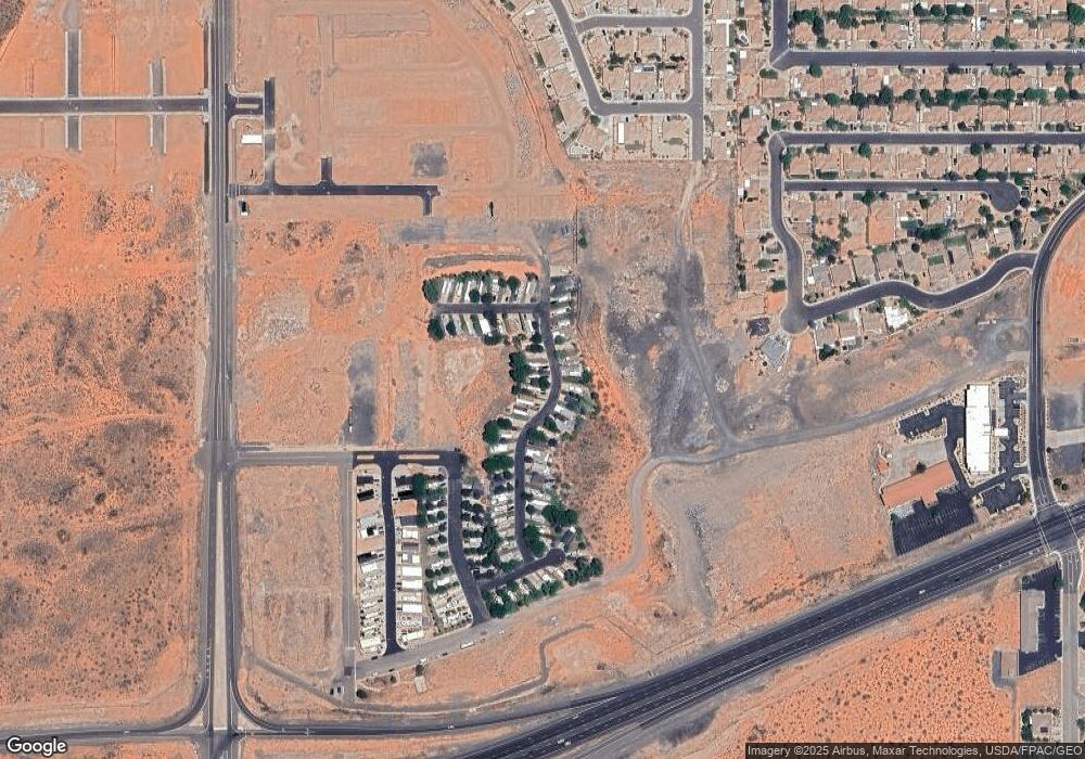
Map
Nearby Homes
- 63 Cinder St
- 60 Cinder St
- 65 Cinder Cir
- 144 Ash St
- 2714 W 220 N
- 2632 W 200 N
- 6.26 Acres State Route 9
- 2819 W 310 N
- 0 6 26 Acres Sr9
- 100 N 2800 W
- 50 N 2800 W
- 2571 W 100 S
- 0 3 Acres Sr9
- 2615 W 250 N
- 0 Lot 209 Paraiso Unit 25-267124
- 0 Lot 210 Paraiso
- 0 Lot 212 Paraiso Unit 25-267078
- 372 N 2830 W
- 2541 W 225 N
- 0 Lot 211 Paraiso Unit 25-267126
- 71 Cinder St
- 71 Cinder Cir
- 69 Cinder Cir
- 72 Cinder Cir
- 68 Cinder Cir
- 68 Cinder St Unit 68
- 58 Cinder Cir
- 58 Cinder Cir
- 58 Cinder St
- 56 Cinder Cir
- 57 Cinder Cir
- 67 Cinder Cir
- 67 Cinder Cir Unit 67
- 73 Cinder Cir
- 59 Cinder Cir
- 60 Cinder Cir Unit 60
- 73 Cinder St
- 56 Cinder St
- 0 Cinder St Unit 8-96422
- 0 Cinder St Unit 12-142504