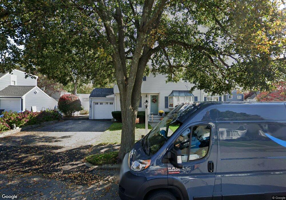
70 Colonial Ave Waltham, MA 02453
Bleachery NeighborhoodEstimated Value: $933,000 - $1,037,000
3
Beds
3
Baths
2,196
Sq Ft
$443/Sq Ft
Est. Value
About This Home
This home is located at 70 Colonial Ave, Waltham, MA 02453 and is currently estimated at $972,976, approximately $443 per square foot. 70 Colonial Ave is a home located in Middlesex County with nearby schools including James Fitzgerald Elementary School, John W. Mcdevitt Middle School, and Waltham Sr High School.
Ownership History
Date
Name
Owned For
Owner Type
Purchase Details
Closed on
Aug 3, 2020
Sold by
Taranto Barbara A
Bought by
Barbara A Taranto Irt
Current Estimated Value
Purchase Details
Closed on
Jul 29, 2020
Sold by
Taranto Anthony
Bought by
Taranto Barbara A
Purchase Details
Closed on
May 8, 1968
Bought by
Taranto Anthony and Taranto Barbara
Create a Home Valuation Report for This Property
The Home Valuation Report is an in-depth analysis detailing your home's value as well as a comparison with similar homes in the area
Home Values in the Area
Average Home Value in this Area
Purchase History
| Date | Buyer | Sale Price | Title Company |
|---|---|---|---|
| Barbara A Taranto Irt | -- | None Available | |
| Taranto Barbara A | -- | None Available | |
| Taranto Anthony | $22,000 | -- |
Source: Public Records
Mortgage History
| Date | Status | Borrower | Loan Amount |
|---|---|---|---|
| Previous Owner | Taranto Anthony | $55,000 | |
| Previous Owner | Taranto Anthony | $75,000 |
Source: Public Records
Tax History
| Year | Tax Paid | Tax Assessment Tax Assessment Total Assessment is a certain percentage of the fair market value that is determined by local assessors to be the total taxable value of land and additions on the property. | Land | Improvement |
|---|---|---|---|---|
| 2025 | $7,938 | $808,300 | $465,800 | $342,500 |
| 2024 | $7,532 | $781,300 | $443,300 | $338,000 |
| 2023 | $7,611 | $737,500 | $420,700 | $316,800 |
| 2022 | $7,722 | $693,200 | $390,700 | $302,500 |
| 2021 | $7,660 | $676,700 | $390,700 | $286,000 |
| 2020 | $7,471 | $625,200 | $360,600 | $264,600 |
| 2019 | $7,277 | $574,800 | $353,000 | $221,800 |
| 2018 | $6,647 | $527,100 | $326,800 | $200,300 |
| 2017 | $6,244 | $497,100 | $296,800 | $200,300 |
| 2016 | $5,578 | $455,700 | $255,400 | $200,300 |
| 2015 | $5,403 | $411,500 | $225,400 | $186,100 |
Source: Public Records
Map
Nearby Homes
- 157 Grove St Unit 2
- 59 Farnum Rd
- 40 Grove St Unit 1
- 31 Potter Rd
- 22 Grove St Unit 2
- 21 Warren St Unit 2-4
- 136 Willow St
- 31 Warren St Unit B-1
- 78 Barbara Rd Unit 1
- 220 Grove St Unit 1
- 51 Warren St Unit 1-1
- 51 Warren St Unit 1-3
- 10 Naviens Ln Unit 1
- 54 Clements Rd
- 20 Whitman Rd Unit 2-1
- 40 Whitman Rd Unit 2-1
- 56-58 Dix St
- 126 Bright St
- 19 School Ave Unit 2
- 67 Longfellow Rd
- 63 Richgrain Ave
- 62 Colonial Ave
- 46 Colonial Ave
- 80 Colonial Ave
- 71 Colonial Ave
- 65 Colonial Ave
- 66 Richgrain Ave
- 55 Richgrain Ave
- 77 Colonial Ave
- 61 Colonial Ave
- 60 Richgrain Ave
- 40 Colonial Ave
- 86 Colonial Ave
- 83 Colonial Ave
- 31 Grosvenor Rd
- 53 Colonial Ave
- 57 Colonial Ave
- 45 Colonial Ave
- 33 Rangeley Rd
- 24 Lafayette St
Your Personal Tour Guide
Ask me questions while you tour the home.