70 Country Club Rd Sandwich, MA 02563
Estimated Value: $7,051,359
--
Bed
--
Bath
231
Sq Ft
$30,525/Sq Ft
Est. Value
About This Home
This home is located at 70 Country Club Rd, Sandwich, MA 02563 and is currently estimated at $7,051,359, approximately $30,525 per square foot. 70 Country Club Rd is a home located in Barnstable County with nearby schools including Sandwich Middle High School, Montessori School of Sandwich, and Fair Acres Country Day School.
Ownership History
Date
Name
Owned For
Owner Type
Purchase Details
Closed on
Nov 27, 2018
Sold by
Sandwich Golf Partners
Bought by
Clubcorp Nv 27 Llc
Current Estimated Value
Purchase Details
Closed on
Feb 23, 2012
Sold by
Cb Cape Cod Golf Llc
Bought by
Sandwich Golf Partners
Home Financials for this Owner
Home Financials are based on the most recent Mortgage that was taken out on this home.
Original Mortgage
$2,200,000
Interest Rate
3.89%
Mortgage Type
Commercial
Purchase Details
Closed on
Aug 11, 2011
Sold by
Cpg Ridge Club Llc
Bought by
Cb Cape Cod Golf Llc
Purchase Details
Closed on
Aug 31, 2007
Sold by
Ridge Club Commu Assoc
Bought by
Atlantic Gulf Propert
Purchase Details
Closed on
Jul 11, 2003
Sold by
Cape Cod Golf Properti
Bought by
Atlantic Golf Properti
Home Financials for this Owner
Home Financials are based on the most recent Mortgage that was taken out on this home.
Original Mortgage
$2,636,000
Interest Rate
5.45%
Mortgage Type
Commercial
Create a Home Valuation Report for This Property
The Home Valuation Report is an in-depth analysis detailing your home's value as well as a comparison with similar homes in the area
Home Values in the Area
Average Home Value in this Area
Purchase History
| Date | Buyer | Sale Price | Title Company |
|---|---|---|---|
| Clubcorp Nv 27 Llc | $3,825,000 | -- | |
| Sandwich Golf Partners | $3,000,000 | -- | |
| Cb Cape Cod Golf Llc | $3,000,000 | -- | |
| Atlantic Gulf Propert | -- | -- | |
| Atlantic Golf Properti | $2,500,000 | -- |
Source: Public Records
Mortgage History
| Date | Status | Borrower | Loan Amount |
|---|---|---|---|
| Previous Owner | Atlantic Golf Properti | $2,200,000 | |
| Previous Owner | Atlantic Golf Properti | $2,636,000 | |
| Previous Owner | Atlantic Golf Properti | $500,000 |
Source: Public Records
Tax History Compared to Growth
Tax History
| Year | Tax Paid | Tax Assessment Tax Assessment Total Assessment is a certain percentage of the fair market value that is determined by local assessors to be the total taxable value of land and additions on the property. | Land | Improvement |
|---|---|---|---|---|
| 2025 | $40,100 | $3,793,800 | $975,300 | $2,818,500 |
| 2024 | $39,691 | $3,675,100 | $937,900 | $2,737,200 |
| 2023 | $40,446 | $3,517,000 | $901,700 | $2,615,300 |
| 2022 | $41,858 | $3,180,700 | $866,000 | $2,314,700 |
| 2021 | $50,854 | $3,693,100 | $831,500 | $2,861,600 |
| 2020 | $50,909 | $3,557,600 | $796,000 | $2,761,600 |
| 2019 | $54,645 | $3,816,000 | $775,900 | $3,040,100 |
| 2018 | $58,584 | $3,645,000 | $724,500 | $2,920,500 |
| 2017 | $51,809 | $3,470,100 | $744,000 | $2,726,100 |
| 2016 | $48,279 | $3,336,500 | $689,000 | $2,647,500 |
| 2015 | $48,602 | $3,279,500 | $663,400 | $2,616,100 |
Source: Public Records
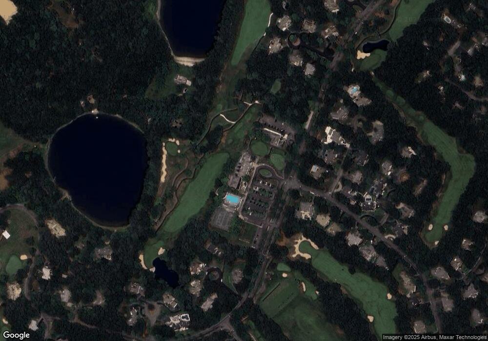
Map
Nearby Homes
- 3 Glenwood Ln
- 10 Wintergreen Ln
- 15 Hunters Trail
- 15 Hunters Tr
- 5 Aviators Ln
- 3 Anne Cir
- 315 Blackthorn Rd
- 46 Holly Ridge Dr
- 159 Cinderella Terrace
- 34 White Moss Dr
- 111 Reflection Dr
- 65 Bosuns Way
- 34 Southpoint Dr
- 17 Southpoint Dr Unit 17
- 17 Southpoint Dr Unit 17C
- 289 Santuit-Newtown Rd
- 58 Southpoint Dr Unit J
- 84 Harlow Rd
- 19 Oriole Ln
- 2 Open Space Dr
- 1 Wintergreen Ln
- 3 Wintergreen Ln
- 4 Glenwood Ln
- 4 Open Space Dr
- 5 Wintergreen Ln
- 2 Glenwood Ln
- 5 Glenwood Ln
- 15 Percival Ln
- 24 Percival Ln
- 5 Open Space Dr
- 7 Wintergreen Ln
- 6 Open Space Dr
- 4 Wintergreen Ln
- 3 Telbin Dr
- 1 Telbin Dr
- 5 Telbin Dr
- 6 Wintergreen Ln
- 1 Ground Cover Ln
- 8 Open Space Dr