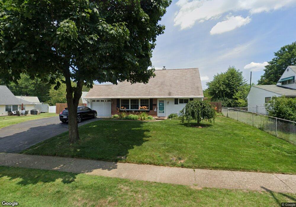
70 Crestwood Rd Levittown, PA 19057
Estimated Value: $410,842 - $434,000
4
Beds
2
Baths
1,655
Sq Ft
$256/Sq Ft
Est. Value
About This Home
This home is located at 70 Crestwood Rd, Levittown, PA 19057 and is currently estimated at $424,211, approximately $256 per square foot. 70 Crestwood Rd is a home located in Bucks County with nearby schools including Walter Miller Elementary School, Sandburg Middle School, and Neshaminy High School.
Ownership History
Date
Name
Owned For
Owner Type
Purchase Details
Closed on
May 31, 2019
Sold by
Hodnett Adam and Hodnett Erin
Bought by
The Christopher S Ward Irrevocable Trust
Current Estimated Value
Purchase Details
Closed on
Jul 27, 2012
Sold by
Hodnett Adam and Hodnett Erin
Bought by
Hodnett Adam and Hodnett Erin
Home Financials for this Owner
Home Financials are based on the most recent Mortgage that was taken out on this home.
Original Mortgage
$211,526
Interest Rate
4.37%
Mortgage Type
FHA
Purchase Details
Closed on
Aug 17, 2009
Sold by
Murray Mary and Murray William
Bought by
Hodnett Adam and Mcfarland Erin
Home Financials for this Owner
Home Financials are based on the most recent Mortgage that was taken out on this home.
Original Mortgage
$218,960
Interest Rate
5.17%
Mortgage Type
FHA
Create a Home Valuation Report for This Property
The Home Valuation Report is an in-depth analysis detailing your home's value as well as a comparison with similar homes in the area
Home Values in the Area
Average Home Value in this Area
Purchase History
| Date | Buyer | Sale Price | Title Company |
|---|---|---|---|
| The Christopher S Ward Irrevocable Trust | $267,500 | Bucks Cnty Abstract Svcs Inc | |
| Hodnett Adam | -- | First American | |
| Hodnett Adam | $223,000 | None Available |
Source: Public Records
Mortgage History
| Date | Status | Borrower | Loan Amount |
|---|---|---|---|
| Previous Owner | Hodnett Adam | $211,526 | |
| Previous Owner | Hodnett Adam | $218,960 |
Source: Public Records
Tax History Compared to Growth
Tax History
| Year | Tax Paid | Tax Assessment Tax Assessment Total Assessment is a certain percentage of the fair market value that is determined by local assessors to be the total taxable value of land and additions on the property. | Land | Improvement |
|---|---|---|---|---|
| 2025 | $4,528 | $20,800 | $4,160 | $16,640 |
| 2024 | $4,528 | $20,800 | $4,160 | $16,640 |
| 2023 | $4,456 | $20,800 | $4,160 | $16,640 |
| 2022 | $4,339 | $20,800 | $4,160 | $16,640 |
| 2021 | $4,339 | $20,800 | $4,160 | $16,640 |
| 2020 | $4,287 | $20,800 | $4,160 | $16,640 |
| 2019 | $4,192 | $20,800 | $4,160 | $16,640 |
| 2018 | $4,115 | $20,800 | $4,160 | $16,640 |
| 2017 | $4,010 | $20,800 | $4,160 | $16,640 |
| 2016 | $4,010 | $20,800 | $4,160 | $16,640 |
| 2015 | $4,199 | $20,800 | $4,160 | $16,640 |
| 2014 | $4,199 | $20,800 | $4,160 | $16,640 |
Source: Public Records
Map
Nearby Homes
- 19 Cobalt Ridge Dr N
- 23 Crystal Place
- 114 Nursery Ave
- 14 Cleft Rock Rd
- 14 Cinnamon Rd
- 5 Foxfern Dr
- 212 Apple St
- 33 Red Rose Way
- 75 Flamehill Rd
- 17 Quay Rd
- 88 Forsythia Dr N
- 225 Yorkshire Rd Unit HIII
- 7 Canal Rd
- 243 Wyandotte Rd
- 58 Queen Lily Rd
- 26 Queen Lily Rd
- 57 Island Rd
- 208 Suffolk Rd
- 331 Indian Creek Dr
- 8 Haven Rd
- 66 Crestwood Rd
- 64 Cobalt Ridge Dr N
- 54 Cobalt Ridge Dr N
- 70 Cobalt Ridge Dr N
- 74 Cobalt Ridge Dr N
- 62 Crestwood Rd
- 71 Crestwood Rd
- 67 Crestwood Rd
- 75 Crestwood Rd
- 78 Cobalt Ridge Dr N
- 57 Cobalt Ridge Dr N
- 63 Crestwood Rd
- 59 Cobalt Ridge Dr N
- 58 Crestwood Rd
- 63 Cobalt Ridge Dr N
- 69 Cobalt Ridge Dr N
- 88 Crystal Rd
- 53 Cobalt Ridge Dr N
- 59 Crestwood Rd
- 86 Crystal Rd