70 Crosswinds Dr Hilton Head Island, SC 29926
Gardner NeighborhoodEstimated Value: $1,514,000 - $2,026,000
4
Beds
5
Baths
5,300
Sq Ft
$331/Sq Ft
Est. Value
About This Home
This home is located at 70 Crosswinds Dr, Hilton Head Island, SC 29926 and is currently estimated at $1,755,427, approximately $331 per square foot. 70 Crosswinds Dr is a home located in Beaufort County with nearby schools including Hilton Head Island Early Childhood Center, Hilton Head Island Elementary School, and Hilton Head Island Middle School.
Ownership History
Date
Name
Owned For
Owner Type
Purchase Details
Closed on
Nov 2, 2016
Sold by
Burhans Ronald and Burhans Judith D
Bought by
Kirshbaum Michael W and Kirshbaum Regina
Current Estimated Value
Home Financials for this Owner
Home Financials are based on the most recent Mortgage that was taken out on this home.
Original Mortgage
$417,000
Outstanding Balance
$334,779
Interest Rate
3.42%
Mortgage Type
New Conventional
Estimated Equity
$1,420,648
Purchase Details
Closed on
Sep 12, 2007
Sold by
Burhans Ronald
Bought by
Burhans Ronald L and Burhans Judith D
Purchase Details
Closed on
Feb 18, 2005
Sold by
Davis Mary H
Bought by
Burhans Ronald
Home Financials for this Owner
Home Financials are based on the most recent Mortgage that was taken out on this home.
Original Mortgage
$300,600
Interest Rate
5.68%
Mortgage Type
Purchase Money Mortgage
Create a Home Valuation Report for This Property
The Home Valuation Report is an in-depth analysis detailing your home's value as well as a comparison with similar homes in the area
Home Values in the Area
Average Home Value in this Area
Purchase History
| Date | Buyer | Sale Price | Title Company |
|---|---|---|---|
| Kirshbaum Michael W | $1,039,000 | None Available | |
| Burhans Ronald L | -- | Attorney | |
| Burhans Ronald | $334,000 | -- |
Source: Public Records
Mortgage History
| Date | Status | Borrower | Loan Amount |
|---|---|---|---|
| Open | Kirshbaum Michael W | $417,000 | |
| Previous Owner | Burhans Ronald | $300,600 |
Source: Public Records
Tax History Compared to Growth
Tax History
| Year | Tax Paid | Tax Assessment Tax Assessment Total Assessment is a certain percentage of the fair market value that is determined by local assessors to be the total taxable value of land and additions on the property. | Land | Improvement |
|---|---|---|---|---|
| 2024 | $6,016 | $50,076 | $8,800 | $41,276 |
| 2023 | $6,016 | $50,076 | $8,800 | $41,276 |
| 2022 | $5,522 | $39,504 | $7,000 | $32,504 |
| 2021 | $5,702 | $39,504 | $7,000 | $32,504 |
| 2020 | $5,678 | $39,504 | $7,000 | $32,504 |
| 2019 | $14,796 | $39,504 | $7,000 | $32,504 |
| 2018 | $14,070 | $59,260 | $0 | $0 |
| 2017 | $5,650 | $41,560 | $0 | $0 |
| 2016 | $4,189 | $32,800 | $0 | $0 |
| 2014 | $5,534 | $32,800 | $0 | $0 |
Source: Public Records
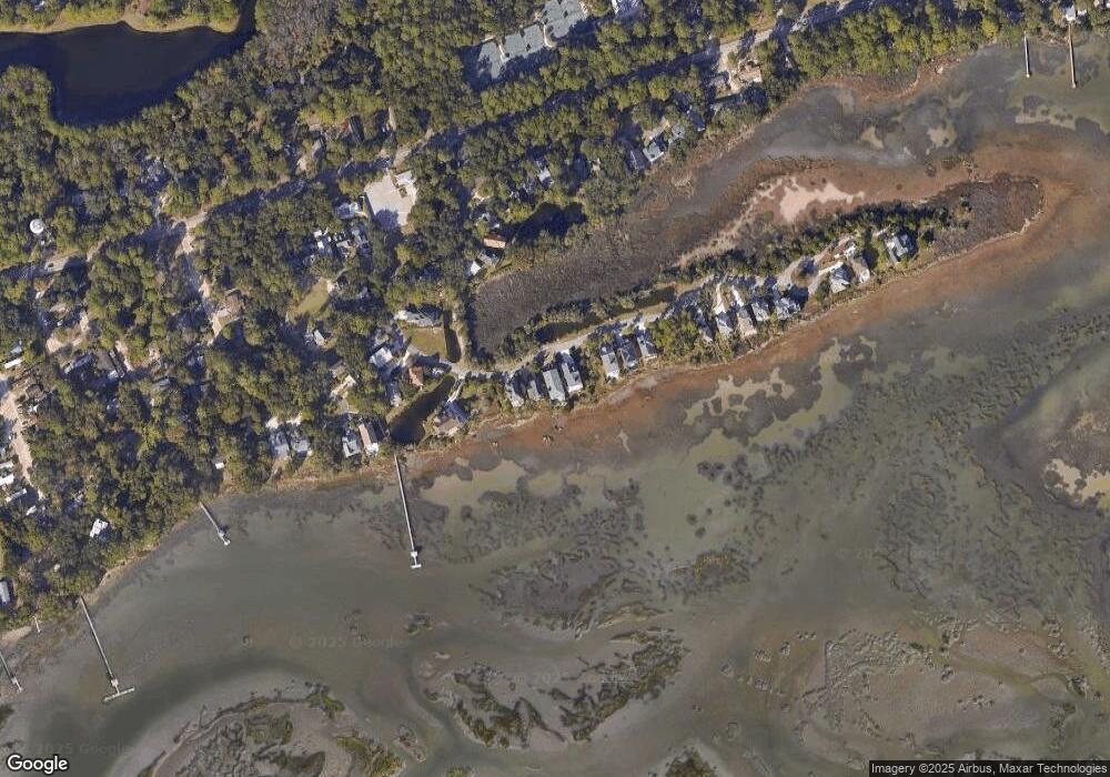
Map
Nearby Homes
- 52 Crosswinds Dr
- 25 Mossy Oaks Ln
- 14 Peregrine Dr
- 5 Camden Ln
- 32 Richfield Way
- 18 Hobonny Place
- 14 Hobonny Place
- 12 Shaftsbury Ln
- 8 Shaftsbury Ln
- 15 Larium Place
- 24 Richfield Way
- 7 Shaftsbury Ln
- 5 Newport Dr Unit 5203
- 5 Newport Dr Unit 2200
- 5 Newport Dr Unit 7102
- 5 Newport Dr Unit 2205
- 8 Branford Ln
- 39 Lancaster Place
- 22 Primrose Ln
- 2 Shelter Cove Ln Unit 240
- 72 Crosswinds Dr
- 68 Crosswinds Dr
- 74 Crosswinds Dr
- 66 Crosswinds Dr
- 76 Crosswinds Dr
- 78 Crosswinds Dr
- 80 Crosswinds Dr
- 62 Crosswinds Dr
- 82 Crosswinds Dr
- 33 Crosswinds Dr
- 51 Crosswinds Dr
- 84 Crosswinds Dr
- 47 Crosswinds Dr
- 43 Crosswinds Dr
- 29 Crosswinds Dr
- 54 Crosswinds Dr
- 41 Crosswinds Dr
- 86 Crosswinds Dr
- 2 Crosswinds (Lot 102)
- 27 Crosswinds Dr