70 Daniels Ave Conneaut, OH 44030
Estimated Value: $228,399 - $311,000
2
Beds
1
Bath
1,510
Sq Ft
$176/Sq Ft
Est. Value
About This Home
This home is located at 70 Daniels Ave, Conneaut, OH 44030 and is currently estimated at $266,350, approximately $176 per square foot. 70 Daniels Ave is a home located in Ashtabula County with nearby schools including Lakeshore Primary Elementary School, Gateway Elementary School, and Conneaut Middle School.
Ownership History
Date
Name
Owned For
Owner Type
Purchase Details
Closed on
Jul 14, 2004
Sold by
Brown Judith A
Bought by
Distelrath Arthur F and Distelrath Ann M
Current Estimated Value
Home Financials for this Owner
Home Financials are based on the most recent Mortgage that was taken out on this home.
Original Mortgage
$128,000
Outstanding Balance
$64,782
Interest Rate
6.42%
Mortgage Type
Unknown
Estimated Equity
$201,568
Purchase Details
Closed on
Mar 17, 2004
Sold by
Brown Robert and Brown Judith
Bought by
Palagyi Jennie A
Create a Home Valuation Report for This Property
The Home Valuation Report is an in-depth analysis detailing your home's value as well as a comparison with similar homes in the area
Home Values in the Area
Average Home Value in this Area
Purchase History
| Date | Buyer | Sale Price | Title Company |
|---|---|---|---|
| Distelrath Arthur F | $160,000 | -- | |
| Palagyi Jennie A | -- | -- |
Source: Public Records
Mortgage History
| Date | Status | Borrower | Loan Amount |
|---|---|---|---|
| Open | Distelrath Arthur F | $128,000 | |
| Closed | Distelrath Arthur F | $24,000 |
Source: Public Records
Tax History Compared to Growth
Tax History
| Year | Tax Paid | Tax Assessment Tax Assessment Total Assessment is a certain percentage of the fair market value that is determined by local assessors to be the total taxable value of land and additions on the property. | Land | Improvement |
|---|---|---|---|---|
| 2024 | $4,294 | $66,540 | $16,310 | $50,230 |
| 2023 | $1,879 | $66,540 | $16,310 | $50,230 |
| 2022 | $1,462 | $52,790 | $12,570 | $40,220 |
| 2021 | $1,488 | $52,790 | $12,570 | $40,220 |
| 2020 | $1,487 | $52,790 | $12,570 | $40,220 |
| 2019 | $1,425 | $47,040 | $7,770 | $39,270 |
| 2018 | $2,304 | $47,040 | $7,770 | $39,270 |
| 2017 | $2,300 | $47,040 | $7,770 | $39,270 |
| 2016 | $2,146 | $45,610 | $7,530 | $38,080 |
| 2015 | $2,168 | $45,610 | $7,530 | $38,080 |
| 2014 | $1,918 | $45,610 | $7,530 | $38,080 |
| 2013 | $1,841 | $51,240 | $11,830 | $39,410 |
Source: Public Records
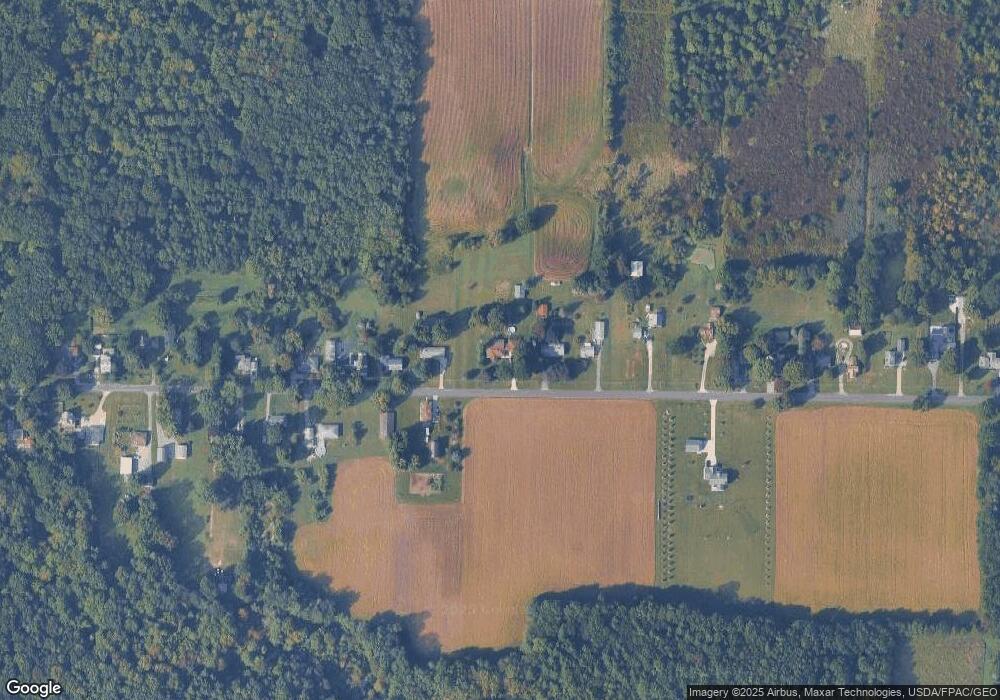
Map
Nearby Homes
- VL Center Rd
- 0 Hillcrest Ct
- 18 Hillcrest Ct
- 220 Daniels Ave
- 855 Spring St Unit S9
- 0 Center Rd
- 210 W Main Rd
- 247 Whitney St
- 202 W Main Rd Unit 49
- 202 W Main Rd Unit Lot 150
- 202 W Main Rd Unit 33
- 202 W Main Rd Unit 16
- 251 St Rt 7
- 589 Main St
- 136 W Under Ridge Rd
- 455 Main St
- 0 Dorman Rd
- 536 Madison St
- 474 Sherman St
- 40 Oakland Blvd
- 68 Daniels Ave
- 80 Daniels Ave
- 66 Daniels Ave
- 79 Daniels Ave
- 86 Daniels Ave
- 88 Daniels Ave
- 54 Daniels Ave
- 87 Daniels Ave
- 94 Daniels Ave
- 48 Daniels Ave
- 91 Daniels Ave
- 100 Daniels Ave
- 44 Daniels Ave
- 38 Daniels Ave
- 32 Daniels Ave
- 116 Daniels Ave
- 109 Daniels Ave
- 26 Daniels Ave
- 99 Daniels Ave
- 22 Daniels Ave