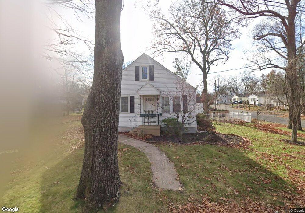
70 David St West Haven, CT 06516
Allingtown NeighborhoodEstimated Value: $311,000 - $334,000
4
Beds
1
Bath
884
Sq Ft
$363/Sq Ft
Est. Value
About This Home
This home is located at 70 David St, West Haven, CT 06516 and is currently estimated at $320,722, approximately $362 per square foot. 70 David St is a home located in New Haven County with nearby schools including Carrigan 5/6 Intermediate School, Harry M. Bailey Middle School, and West Haven High School.
Ownership History
Date
Name
Owned For
Owner Type
Purchase Details
Closed on
Sep 29, 2008
Sold by
Kettles Jason A and Cavallaro Christina R
Bought by
Adams Gregory A
Current Estimated Value
Home Financials for this Owner
Home Financials are based on the most recent Mortgage that was taken out on this home.
Original Mortgage
$148,000
Outstanding Balance
$99,076
Interest Rate
6.57%
Mortgage Type
Purchase Money Mortgage
Estimated Equity
$221,646
Create a Home Valuation Report for This Property
The Home Valuation Report is an in-depth analysis detailing your home's value as well as a comparison with similar homes in the area
Home Values in the Area
Average Home Value in this Area
Purchase History
| Date | Buyer | Sale Price | Title Company |
|---|---|---|---|
| Adams Gregory A | $185,000 | -- | |
| Adams Gregory A | $185,000 | -- |
Source: Public Records
Mortgage History
| Date | Status | Borrower | Loan Amount |
|---|---|---|---|
| Open | Adams Gregory A | $148,000 | |
| Closed | Adams Gregory A | $37,000 | |
| Closed | Adams Gregory A | $7,095 | |
| Closed | Adams Gregory A | $148,000 |
Source: Public Records
Map
Nearby Homes
- 148 Burwell Rd
- 50 Morris Ave
- 110 Fenwick St
- 23 Yates St
- 38 Chauncey St
- 50 Maltby Ave
- 34 Maltby Ave
- 127 Rangely St
- 690 Forest Rd Unit 702
- 690 Forest Rd Unit 761
- 690 Forest Rd Unit 501
- 690 Forest Rd Unit 651
- 47 Dix St
- 1 Rodney St
- 45 Swampscott St
- 267 Front Ave
- 28 Terrace Ave
- 33 Baggott St
- 122 Derby Ave
- 15 Crest St Unit 27
Your Personal Tour Guide
Ask me questions while you tour the home.