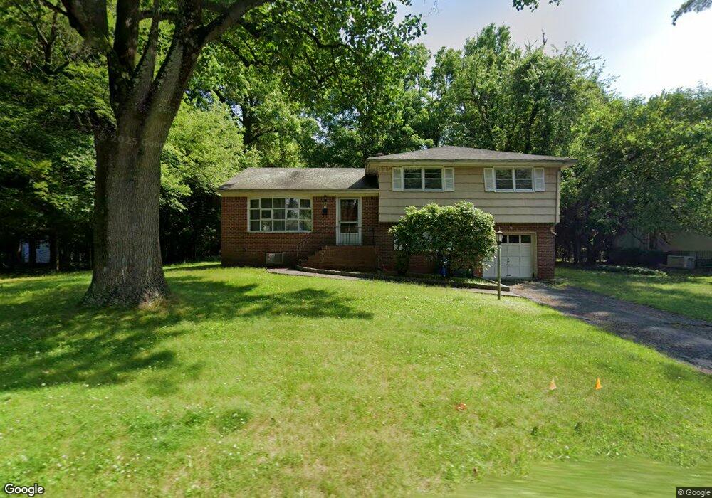
70 Demarest Ave Closter, NJ 07624
Estimated Value: $795,378 - $890,000
Studio
--
Bath
1,662
Sq Ft
$513/Sq Ft
Est. Value
About This Home
This home is located at 70 Demarest Ave, Closter, NJ 07624 and is currently estimated at $852,595, approximately $512 per square foot. 70 Demarest Ave is a home located in Bergen County with nearby schools including Hillside Elementary School, Tenakill Middle School, and Northern Valley Regional High School at Demarest.
Ownership History
Date
Name
Owned For
Owner Type
Purchase Details
Closed on
Oct 22, 1999
Sold by
Mercandetti Robert Paul and Mercandetti Alex
Bought by
Mercandetti Alex Joseph and Mercandetti Robert Paul
Current Estimated Value
Home Financials for this Owner
Home Financials are based on the most recent Mortgage that was taken out on this home.
Original Mortgage
$80,000
Interest Rate
7.43%
Mortgage Type
Purchase Money Mortgage
Create a Home Valuation Report for This Property
The Home Valuation Report is an in-depth analysis detailing your home's value as well as a comparison with similar homes in the area
Home Values in the Area
Average Home Value in this Area
Purchase History
| Date | Buyer | Sale Price | Title Company |
|---|---|---|---|
| Mercandetti Alex Joseph | -- | -- |
Source: Public Records
Mortgage History
| Date | Status | Borrower | Loan Amount |
|---|---|---|---|
| Closed | Mercandetti Alex Joseph | $80,000 |
Source: Public Records
Tax History
| Year | Tax Paid | Tax Assessment Tax Assessment Total Assessment is a certain percentage of the fair market value that is determined by local assessors to be the total taxable value of land and additions on the property. | Land | Improvement |
|---|---|---|---|---|
| 2025 | $13,149 | $659,800 | $461,500 | $198,300 |
| 2024 | $11,711 | $621,400 | $433,000 | $188,400 |
| 2023 | $11,248 | $546,200 | $362,800 | $183,400 |
| 2022 | $11,248 | $508,500 | $333,900 | $174,600 |
| 2021 | $11,241 | $487,900 | $322,000 | $165,900 |
| 2020 | $10,992 | $490,500 | $323,400 | $167,100 |
| 2019 | $10,728 | $483,900 | $319,200 | $164,700 |
| 2018 | $10,671 | $479,400 | $314,900 | $164,500 |
| 2017 | $9,356 | $410,000 | $299,700 | $110,300 |
| 2016 | $9,180 | $410,000 | $299,700 | $110,300 |
| 2015 | $8,979 | $410,000 | $299,700 | $110,300 |
| 2014 | $10,166 | $477,500 | $299,700 | $177,800 |
Source: Public Records
Map
Nearby Homes
- 66 Demarest Ave
- 82 Demarest Ave
- 73 Demarest Ave
- 81 Poplar St
- 79 Demarest Ave
- 92 Demarest Ave
- 62 Demarest Ave
- 32 Center St
- 40 Hawthorne Terrace
- 80 Poplar St
- 21 Center St
- 36 Hawthorne Terrace
- 45 Forest St
- 32 Hawthorne Terrace
- 22 Center St
- 55 Forest St
- 39 Forest St
- 100 Demarest Ave
- 19 Center St
- 19 Center St
Your Personal Tour Guide
Ask me questions while you tour the home.