70 Devon Ct Unit 6 Edwardsville, IL 62025
Estimated Value: $110,265 - $141,000
2
Beds
1
Bath
939
Sq Ft
$130/Sq Ft
Est. Value
About This Home
This home is located at 70 Devon Ct Unit 6, Edwardsville, IL 62025 and is currently estimated at $122,066, approximately $129 per square foot. 70 Devon Ct Unit 6 is a home located in Madison County with nearby schools including N.O. Nelson Elementary School, Woodland Elementary School, and Lincoln Middle School.
Ownership History
Date
Name
Owned For
Owner Type
Purchase Details
Closed on
Aug 20, 2019
Sold by
Harold E Hoskins
Bought by
Kram Ttam Enterprises Llc
Current Estimated Value
Purchase Details
Closed on
Apr 9, 2014
Sold by
Campbell Cynthia Louis
Bought by
Hoskins Harold E and Hoskins Sandra L
Purchase Details
Closed on
Oct 4, 2012
Sold by
Lms Investments Inc
Bought by
Campbell Cynthia Louis and Cynthia Louis Campbell Separate Property
Create a Home Valuation Report for This Property
The Home Valuation Report is an in-depth analysis detailing your home's value as well as a comparison with similar homes in the area
Home Values in the Area
Average Home Value in this Area
Purchase History
| Date | Buyer | Sale Price | Title Company |
|---|---|---|---|
| Kram Ttam Enterprises Llc | $87,500 | Southern Illinois Real Estat | |
| Hoskins Harold E | $79,000 | Abstracts & Titles Inc | |
| Campbell Cynthia Louis | $50,000 | First American Title Insuran |
Source: Public Records
Tax History
| Year | Tax Paid | Tax Assessment Tax Assessment Total Assessment is a certain percentage of the fair market value that is determined by local assessors to be the total taxable value of land and additions on the property. | Land | Improvement |
|---|---|---|---|---|
| 2024 | $1,988 | $27,840 | $5,590 | $22,250 |
| 2023 | $1,988 | $25,840 | $5,190 | $20,650 |
| 2022 | $1,749 | $23,890 | $4,800 | $19,090 |
| 2021 | $1,686 | $22,680 | $4,560 | $18,120 |
| 2020 | $1,635 | $21,980 | $4,420 | $17,560 |
| 2019 | $1,626 | $21,620 | $4,350 | $17,270 |
| 2018 | $1,600 | $20,650 | $4,160 | $16,490 |
| 2017 | $1,559 | $20,210 | $4,070 | $16,140 |
| 2016 | $1,411 | $20,210 | $4,070 | $16,140 |
| 2015 | $901 | $18,730 | $3,770 | $14,960 |
| 2014 | $901 | $18,730 | $3,770 | $14,960 |
| 2013 | $901 | $18,730 | $3,770 | $14,960 |
Source: Public Records
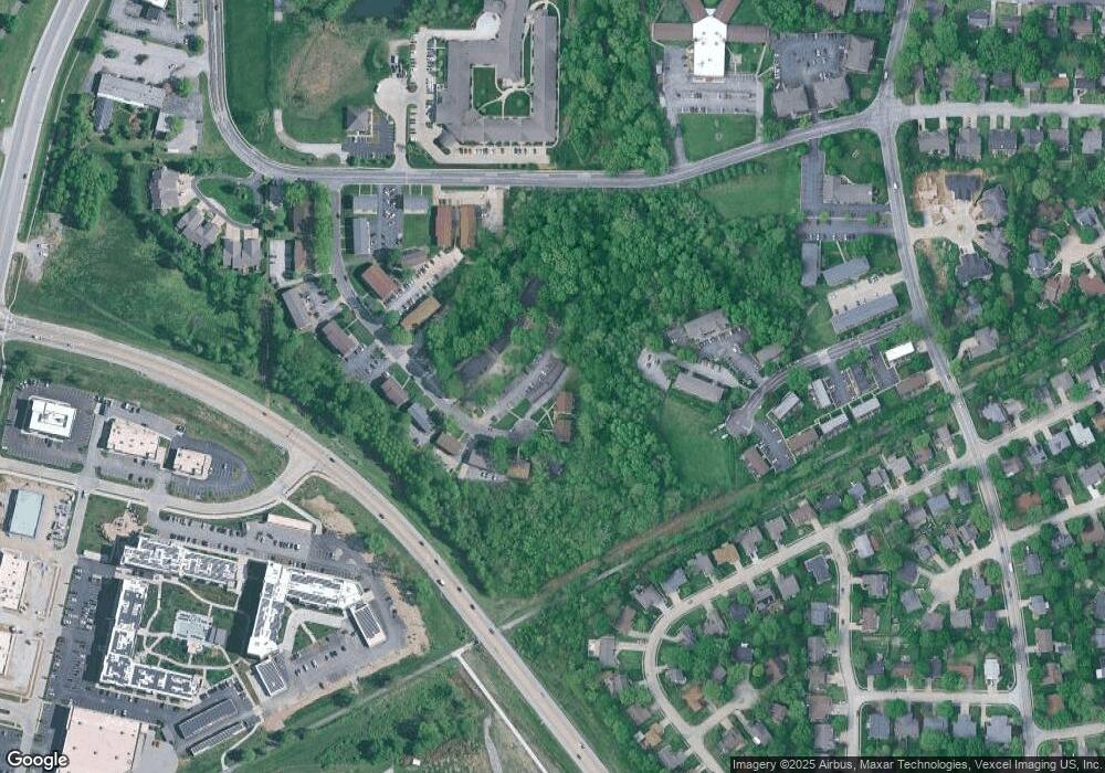
Map
Nearby Homes
- 14 Villa Ct Unit B
- 921 Chancellor Dr
- 1456 Castle Ct
- 1901 Applegate Ln
- 1000 Timberlake Dr
- 100 Bristol Park Ln
- 1101 N Oxfordshire Ln
- 300 S Charles St
- 5 Ginger Lake Dr W
- 0 S State Route 157 Unit MAR25012689
- 142 West St
- 417 Quince St
- 302 Olive St
- 210 Nelson Ave
- 801 Saint Louis St
- 215 S Benton St
- 1212 Lindenwood Ave
- 911 Grand Ave
- 206 Garden St
- 408 Cherry St
- 70 Devon Ct Unit B-11
- 70 Devon Ct Unit 2A
- 70 Devon Ct Unit A5
- 70 Devon Ct Unit 4
- 70 Devon Ct Unit 3
- 70 Devon Ct Unit 2
- 70 Devon Ct Unit 1
- 70 Devon Ct Unit 12
- 70 Devon Ct
- 70 Devon Ct Unit 10
- 70 Devon Ct Unit 9
- 70 Devon Ct Unit 8
- 70 Devon Ct Unit 6A
- 50 Devon Court M2
- 50 Devon Ct
- 97 Devon Ct
- 79 Devon Ct
- 71 Devon Ct
- 59 Devon Ct
- 127 Dorset Ct