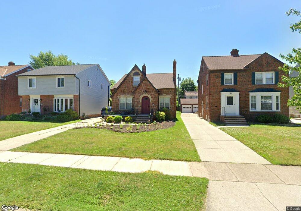
70 E 216th St Euclid, OH 44123
Estimated Value: $197,000 - $250,874
3
Beds
2
Baths
1,672
Sq Ft
$139/Sq Ft
Est. Value
About This Home
This home is located at 70 E 216th St, Euclid, OH 44123 and is currently estimated at $232,219, approximately $138 per square foot. 70 E 216th St is a home located in Cuyahoga County with nearby schools including Arbor Elementary School, Euclid Middle School, and Euclid High School.
Ownership History
Date
Name
Owned For
Owner Type
Purchase Details
Closed on
Mar 21, 2022
Sold by
Barisic and Mariana
Bought by
Freed Shelley
Current Estimated Value
Home Financials for this Owner
Home Financials are based on the most recent Mortgage that was taken out on this home.
Original Mortgage
$168,000
Outstanding Balance
$134,791
Interest Rate
2.77%
Mortgage Type
Balloon
Estimated Equity
$97,428
Purchase Details
Closed on
May 21, 2015
Sold by
Yucich Charles G and Tufts Rachel
Bought by
Barisic Tony and Barisic Mariana
Purchase Details
Closed on
Jan 29, 2000
Sold by
Mary Yurcich
Bought by
Yurcich Charles G and Yurcich Rachel
Purchase Details
Closed on
Apr 3, 1989
Sold by
Yurcich Thomas and Yurcich Mary
Bought by
Yurcich Thomas
Purchase Details
Closed on
Jan 1, 1975
Bought by
Yurcich Thomas and Yurcich Mary
Create a Home Valuation Report for This Property
The Home Valuation Report is an in-depth analysis detailing your home's value as well as a comparison with similar homes in the area
Home Values in the Area
Average Home Value in this Area
Purchase History
| Date | Buyer | Sale Price | Title Company |
|---|---|---|---|
| Freed Shelley | $240,000 | Carr L Bryan | |
| Barisic Tony | $42,300 | All Real Estate Solutions | |
| Yurcich Charles G | $54,600 | -- | |
| Yurcich Thomas | -- | -- | |
| Yurcich Thomas | -- | -- |
Source: Public Records
Mortgage History
| Date | Status | Borrower | Loan Amount |
|---|---|---|---|
| Open | Freed Shelley | $168,000 |
Source: Public Records
Tax History
| Year | Tax Paid | Tax Assessment Tax Assessment Total Assessment is a certain percentage of the fair market value that is determined by local assessors to be the total taxable value of land and additions on the property. | Land | Improvement |
|---|---|---|---|---|
| 2024 | $5,016 | $74,480 | $10,640 | $63,840 |
| 2023 | $2,782 | $32,100 | $8,820 | $23,280 |
| 2022 | $2,769 | $32,100 | $8,820 | $23,280 |
| 2021 | $3,091 | $32,100 | $8,820 | $23,280 |
| 2020 | $3,148 | $29,720 | $8,160 | $21,560 |
| 2019 | $3,505 | $106,100 | $23,300 | $82,800 |
| 2018 | $3,452 | $37,140 | $8,160 | $28,980 |
| 2017 | $3,675 | $32,170 | $6,970 | $25,200 |
| 2016 | $3,684 | $32,170 | $6,970 | $25,200 |
| 2015 | -- | $32,170 | $6,970 | $25,200 |
| 2014 | -- | $32,170 | $6,970 | $25,200 |
Source: Public Records
Map
Nearby Homes
- 104 E 219th St
- 170 E 220th St
- 226 E 216th St
- 144 E 208th St
- 324 E 215th St
- 55 Sunnycliff Dr
- 273 E 208th St
- 20424 Lake Shore Blvd
- 461 Kenwood Dr Unit T3
- 421 Kenwood Dr Unit G
- 450 Kenwood Dr Unit E12
- 470 Kenwood Dr Unit D
- 422 Clearview Dr Unit J10
- 71 E 201st St
- 490 Kenwood Dr Unit B
- 22751 Fox Ave
- 21051 S Lake Shore Blvd
- 22301 Milton Dr
- 23198 Gay St
- 174 E 200th St
Your Personal Tour Guide
Ask me questions while you tour the home.