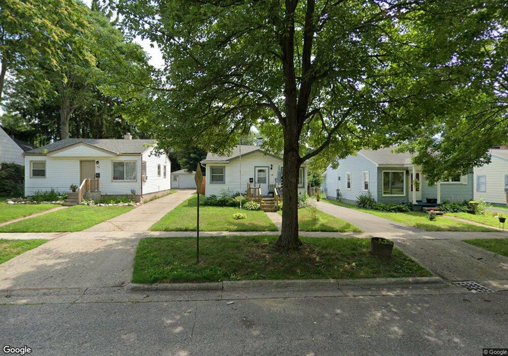
70 E Sheffield Ave Pontiac, MI 48340
Estimated Value: $108,429 - $130,000
2
Beds
1
Bath
781
Sq Ft
$153/Sq Ft
Est. Value
About This Home
This home is located at 70 E Sheffield Ave, Pontiac, MI 48340 and is currently estimated at $119,857, approximately $153 per square foot. 70 E Sheffield Ave is a home located in Oakland County with nearby schools including Owen Elementary School, Pontiac Middle School, and Pontiac High School.
Ownership History
Date
Name
Owned For
Owner Type
Purchase Details
Closed on
Aug 4, 2025
Sold by
Gartee Pamela Jean
Bought by
Gartee Matthew Allen
Current Estimated Value
Purchase Details
Closed on
Dec 6, 2024
Sold by
Gromer John Doyle and Gartee Pamela Jean
Bought by
Gartee Pamela Jean
Purchase Details
Closed on
Jul 18, 2008
Sold by
Gromer Deloris E
Bought by
Gromer John D and Gromer Deloris E
Purchase Details
Closed on
May 19, 2007
Sold by
Gromer Deloris E
Bought by
Gromer Deloris E
Purchase Details
Closed on
Apr 24, 2006
Sold by
Hall William L and Hall Betty J
Bought by
Hall William L and Gromer Deloris E
Create a Home Valuation Report for This Property
The Home Valuation Report is an in-depth analysis detailing your home's value as well as a comparison with similar homes in the area
Home Values in the Area
Average Home Value in this Area
Purchase History
| Date | Buyer | Sale Price | Title Company |
|---|---|---|---|
| Gartee Matthew Allen | -- | None Listed On Document | |
| Gartee Matthew Allen | -- | None Listed On Document | |
| Gartee Pamela Jean | -- | None Listed On Document | |
| Gartee Pamela Jean | -- | None Listed On Document | |
| Gromer John D | -- | None Available | |
| Gromer Deloris E | -- | None Available | |
| Hall William L | -- | None Available |
Source: Public Records
Tax History Compared to Growth
Tax History
| Year | Tax Paid | Tax Assessment Tax Assessment Total Assessment is a certain percentage of the fair market value that is determined by local assessors to be the total taxable value of land and additions on the property. | Land | Improvement |
|---|---|---|---|---|
| 2024 | $754 | $31,240 | $0 | $0 |
| 2023 | $719 | $28,060 | $0 | $0 |
| 2022 | $1,354 | $25,100 | $0 | $0 |
| 2021 | $736 | $21,690 | $0 | $0 |
| 2020 | $654 | $19,220 | $0 | $0 |
| 2019 | $704 | $16,790 | $0 | $0 |
| 2018 | $671 | $14,480 | $0 | $0 |
| 2017 | $646 | $13,800 | $0 | $0 |
| 2016 | $673 | $12,200 | $0 | $0 |
| 2015 | -- | $11,900 | $0 | $0 |
| 2014 | -- | $11,380 | $0 | $0 |
| 2011 | -- | $14,680 | $0 | $0 |
Source: Public Records
Map
Nearby Homes
- 78 E Sheffield Ave
- 38 E Sheffield Ave
- 38 E Princeton Ave
- 18 E Princeton Ave
- 18 E Hopkins Ave
- 64 W Colgate Ave
- 37 W Brooklyn Ave
- 112 W Strathmore Ave
- 117 W Strathmore Ave
- 161 W Brooklyn Ave
- 18 E 18 E Rutgers Ave
- 134 W Fairmount Ave
- 375 E Sheffield Ave
- 228 W Walton Blvd
- 200 W Chicago Ave
- 207 W Strathmore Ave
- 310 W Princeton Ave
- 33 W Beverly Ave
- 345 2nd Ave
- 240 W Fairmount Ave
- 74 E Sheffield Ave
- 66 E Sheffield Ave Unit Bldg-Unit
- 66 E Sheffield Ave
- 58 E Sheffield Ave
- 73 E Princeton Ave
- 69 E Princeton Ave
- 82 E Sheffield Ave
- 65 E Princeton Ave
- 61 E Princeton Ave
- 77 E Princeton Ave
- 57 E Princeton Ave
- 73 E Sheffield Ave
- 77 E Sheffield Ave
- 50 E Sheffield Ave
- 65 E Sheffield Ave
- 81 E Sheffield Ave
- 53 E Princeton Ave
- 85 E Sheffield Ave
- 57 E Sheffield Ave
- 94 E Sheffield Ave