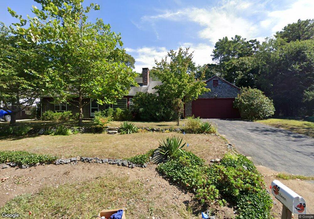
70 Eileen St Yarmouth Port, MA 02675
Yarmouth Port NeighborhoodEstimated Value: $610,000 - $729,000
2
Beds
1
Bath
1,500
Sq Ft
$439/Sq Ft
Est. Value
About This Home
This home is located at 70 Eileen St, Yarmouth Port, MA 02675 and is currently estimated at $657,984, approximately $438 per square foot. 70 Eileen St is a home located in Barnstable County with nearby schools including Dennis-Yarmouth Regional High School and St. Pius X. School.
Ownership History
Date
Name
Owned For
Owner Type
Purchase Details
Closed on
May 16, 2005
Sold by
Gordon Christopher M and Gordon Dorothy A
Bought by
Sargent William M
Current Estimated Value
Home Financials for this Owner
Home Financials are based on the most recent Mortgage that was taken out on this home.
Original Mortgage
$310,500
Outstanding Balance
$161,981
Interest Rate
6.05%
Mortgage Type
Purchase Money Mortgage
Estimated Equity
$496,003
Purchase Details
Closed on
Jun 16, 2000
Sold by
Bowie Donna P
Bought by
Gordon Christopher and Gordon Dorothy A
Purchase Details
Closed on
Mar 14, 1997
Sold by
Sullivan Joan E and Sullivan John W
Bought by
Bowie Donna Poelaert
Create a Home Valuation Report for This Property
The Home Valuation Report is an in-depth analysis detailing your home's value as well as a comparison with similar homes in the area
Home Values in the Area
Average Home Value in this Area
Purchase History
| Date | Buyer | Sale Price | Title Company |
|---|---|---|---|
| Sargent William M | $335,000 | -- | |
| Gordon Christopher | $192,500 | -- | |
| Bowie Donna Poelaert | $117,000 | -- |
Source: Public Records
Mortgage History
| Date | Status | Borrower | Loan Amount |
|---|---|---|---|
| Open | Sargent William M | $310,500 |
Source: Public Records
Tax History Compared to Growth
Tax History
| Year | Tax Paid | Tax Assessment Tax Assessment Total Assessment is a certain percentage of the fair market value that is determined by local assessors to be the total taxable value of land and additions on the property. | Land | Improvement |
|---|---|---|---|---|
| 2025 | $3,962 | $559,600 | $169,300 | $390,300 |
| 2024 | $4,099 | $555,400 | $147,300 | $408,100 |
| 2023 | $4,027 | $496,600 | $133,900 | $362,700 |
| 2022 | $3,818 | $415,900 | $127,700 | $288,200 |
| 2021 | $3,552 | $371,500 | $127,700 | $243,800 |
| 2020 | $3,491 | $349,100 | $135,100 | $214,000 |
| 2019 | $3,208 | $317,600 | $135,100 | $182,500 |
| 2018 | $3,037 | $295,100 | $112,600 | $182,500 |
| 2017 | $2,957 | $295,100 | $112,600 | $182,500 |
| 2016 | $2,855 | $286,100 | $103,600 | $182,500 |
| 2015 | $2,663 | $265,200 | $99,100 | $166,100 |
Source: Public Records
Map
Nearby Homes
- 44 Stratford Ln
- 43 Canterbury Rd
- 1 Barnacle Rd
- 29 Boxwood Cir Unit 29
- 34 Kates Path
- 34 Kates Path Unit 34
- 25 Oak Glen
- 25 Oak Glen Village Unit 25
- 17 Kates Path Unit A
- 64 Kates Path
- 228 Kates Path
- 6 Nimble Hill Dr
- 7 Forest Gate Unit 7
- 111 Merchant Ave
- 50 John Hall Cartway
- 50 John Hall Cartway Unit 50
- 8 Rowley Ln
- 30 W Woods Cir Unit 30
- 30 W Woods
- 59 Massachusetts 6a Unit 19-2