70 Falcon Rd Elkland, MO 65644
Estimated Value: $250,000 - $374,417
--
Bed
--
Bath
1,640
Sq Ft
$195/Sq Ft
Est. Value
About This Home
This home is located at 70 Falcon Rd, Elkland, MO 65644 and is currently estimated at $320,139, approximately $195 per square foot. 70 Falcon Rd is a home with nearby schools including Buffalo High School.
Ownership History
Date
Name
Owned For
Owner Type
Purchase Details
Closed on
Jul 28, 2025
Sold by
Moore Juliette A and Ramsey Evan Ray
Bought by
Ramsey Family Trust and Ramsey
Current Estimated Value
Purchase Details
Closed on
Apr 24, 2025
Sold by
Ramsey Family Trust and Ramsey Dennis A
Bought by
Moore Juliette A and Ramsey Evan Ray
Purchase Details
Closed on
Mar 28, 2024
Sold by
Ramsey Dennis A and Ramsey Annette
Bought by
Ramsey Family Trust and Ramsey
Purchase Details
Closed on
Nov 30, 2011
Sold by
Cmcarthy Patsy J and Rogers Arnold R
Bought by
Ramsey Dennis A and Ramsey Annette
Home Financials for this Owner
Home Financials are based on the most recent Mortgage that was taken out on this home.
Original Mortgage
$122,600
Interest Rate
4.14%
Mortgage Type
Purchase Money Mortgage
Create a Home Valuation Report for This Property
The Home Valuation Report is an in-depth analysis detailing your home's value as well as a comparison with similar homes in the area
Home Values in the Area
Average Home Value in this Area
Purchase History
| Date | Buyer | Sale Price | Title Company |
|---|---|---|---|
| Ramsey Family Trust | -- | None Listed On Document | |
| Moore Juliette A | -- | None Listed On Document | |
| Moore Juliette A | -- | None Listed On Document | |
| Ramsey Family Trust | -- | None Listed On Document | |
| Ramsey Dennis A | -- | None Available |
Source: Public Records
Mortgage History
| Date | Status | Borrower | Loan Amount |
|---|---|---|---|
| Previous Owner | Ramsey Dennis A | $122,600 |
Source: Public Records
Tax History Compared to Growth
Tax History
| Year | Tax Paid | Tax Assessment Tax Assessment Total Assessment is a certain percentage of the fair market value that is determined by local assessors to be the total taxable value of land and additions on the property. | Land | Improvement |
|---|---|---|---|---|
| 2024 | $1,064 | $23,800 | $0 | $0 |
| 2023 | $1,051 | $21,880 | $0 | $0 |
| 2022 | $1,029 | $23,400 | $0 | $0 |
| 2021 | $1,030 | $21,220 | $0 | $0 |
| 2020 | $1,047 | $21,550 | $0 | $0 |
| 2019 | $1,024 | $21,550 | $0 | $0 |
| 2018 | $921 | $21,630 | $0 | $0 |
| 2014 | -- | $20,820 | $0 | $0 |
Source: Public Records
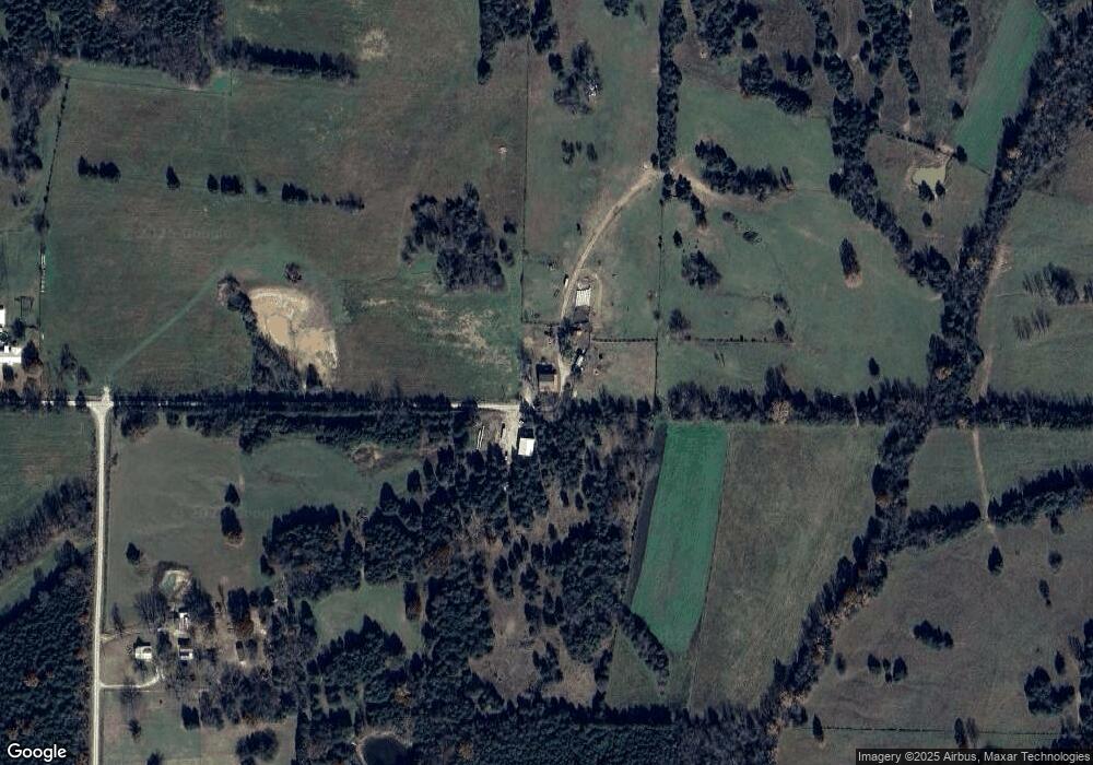
Map
Nearby Homes
- 458 Cumberland Rd
- Tbd Tr 2 N Farm Rd 215
- 000 Spring Grove Rd
- 524 State Road F
- 8 Slater Rd
- 0000 State Highway 38
- 5 Alyssa Hills Ln
- 195 Cumberland Rd
- 48 Flint Ridge Rd
- 0000 Junior Ln
- 1189 Patterson Branch Rd
- 000 State Highway F
- TBD State Highway F
- 28 Danbury Ln
- 2314 State Highway 38
- 4 Somerset Rd
- 1236 State Road Aa
- 96 Alamo Dr
- 21 Missouri 215
- 78 Karen Dr
- 84 Falcon Rd
- 66 Falcon Rd
- 51 Falcon Rd
- 30 Falcon Rd
- 4390 Uu Rd
- 4302 Uu Rd
- 4154 Uu Rd
- 4054 Uu Rd
- 4483 Uu Rd
- 10428 State Highway 38
- 00 State Rd U
- 3977 Uu Rd
- 3977 Uu Rd
- 22 Coyote Trail
- 10364 State Highway 38
- 10370 State Highway 38
- 119 Stever Branch Rd
- 10351 State Highway 38
- 10403 State Highway 38
- 10319 Mo-38