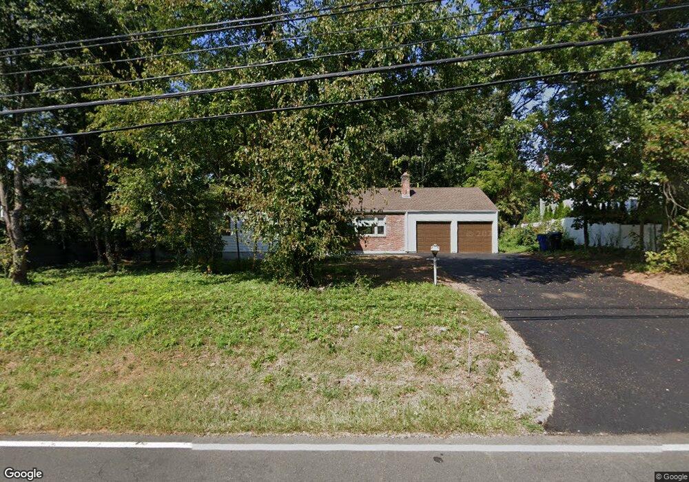
70 Flagg Rd West Hartford, CT 06117
Estimated Value: $443,000 - $535,000
3
Beds
2
Baths
1,500
Sq Ft
$323/Sq Ft
Est. Value
About This Home
This home is located at 70 Flagg Rd, West Hartford, CT 06117 and is currently estimated at $484,950, approximately $323 per square foot. 70 Flagg Rd is a home located in Hartford County with nearby schools including Norfeldt School, King Philip Middle School, and Hall High School.
Create a Home Valuation Report for This Property
The Home Valuation Report is an in-depth analysis detailing your home's value as well as a comparison with similar homes in the area
Home Values in the Area
Average Home Value in this Area
Tax History Compared to Growth
Tax History
| Year | Tax Paid | Tax Assessment Tax Assessment Total Assessment is a certain percentage of the fair market value that is determined by local assessors to be the total taxable value of land and additions on the property. | Land | Improvement |
|---|---|---|---|---|
| 2025 | $9,117 | $203,600 | $97,200 | $106,400 |
| 2024 | $8,622 | $203,600 | $97,200 | $106,400 |
| 2023 | $8,331 | $203,600 | $97,200 | $106,400 |
| 2022 | $8,282 | $203,600 | $97,200 | $106,400 |
| 2021 | $7,424 | $175,000 | $93,500 | $81,500 |
| 2020 | $7,315 | $175,000 | $85,100 | $89,900 |
| 2019 | $7,315 | $175,000 | $85,120 | $89,880 |
| 2018 | $7,175 | $175,000 | $85,120 | $89,880 |
| 2017 | $7,182 | $175,000 | $85,120 | $89,880 |
| 2016 | $6,336 | $160,370 | $63,420 | $96,950 |
| 2015 | $6,144 | $160,370 | $63,420 | $96,950 |
| 2014 | $5,993 | $160,370 | $63,420 | $96,950 |
Source: Public Records
Map
Nearby Homes
- 47 Flagg Rd
- 2581 Albany Ave
- 62 Blue Ridge Ln
- 50 Magnolia Hill
- 11 Rye Ridge Pkwy
- 592 Mountain Rd Unit A
- 21 Barksdale Rd
- 56 Fox Chase Ln
- 139 Mohawk Dr
- 26 Berwyn Rd
- 148 King Philip Dr
- 124 High Ridge Rd
- 10 Ironwood Ln
- 75 Arlen Way
- 40 Ferncliff Dr
- 11 Lawler Rd
- 132 N Main St
- 16 Morningcrest Dr
- 1272 Trout Brook Dr
- 37 W Normandy Dr