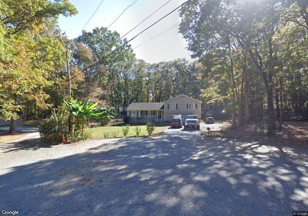
70 Forest Ridge Ct SW Lawrenceville, GA 30046
Estimated Value: $351,000 - $376,463
3
Beds
3
Baths
1,701
Sq Ft
$212/Sq Ft
Est. Value
About This Home
This home is located at 70 Forest Ridge Ct SW, Lawrenceville, GA 30046 and is currently estimated at $360,866, approximately $212 per square foot. 70 Forest Ridge Ct SW is a home located in Gwinnett County with nearby schools including Simonton Elementary School, Jordan Middle School, and Central Gwinnett High School.
Ownership History
Date
Name
Owned For
Owner Type
Purchase Details
Closed on
Aug 31, 2016
Sold by
Wilson
Bought by
Bamaca Wilson and Madrid Delmy Noemi Lima
Current Estimated Value
Home Financials for this Owner
Home Financials are based on the most recent Mortgage that was taken out on this home.
Original Mortgage
$148,500
Outstanding Balance
$68,663
Interest Rate
3.43%
Estimated Equity
$292,203
Purchase Details
Closed on
Jul 26, 2007
Sold by
Hufstetler Penny L
Bought by
Calcaterra Michael P
Home Financials for this Owner
Home Financials are based on the most recent Mortgage that was taken out on this home.
Original Mortgage
$100,000
Interest Rate
6.63%
Mortgage Type
New Conventional
Create a Home Valuation Report for This Property
The Home Valuation Report is an in-depth analysis detailing your home's value as well as a comparison with similar homes in the area
Home Values in the Area
Average Home Value in this Area
Purchase History
| Date | Buyer | Sale Price | Title Company |
|---|---|---|---|
| Bamaca Wilson | $165,000 | -- | |
| Bamaca Wilson | $165,000 | -- | |
| Calcaterra Michael P | -- | -- |
Source: Public Records
Mortgage History
| Date | Status | Borrower | Loan Amount |
|---|---|---|---|
| Open | Bamaca Wilson | $148,500 | |
| Closed | Bamaca Wilson | $148,500 | |
| Previous Owner | Calcaterra Michael P | $100,000 |
Source: Public Records
Tax History Compared to Growth
Tax History
| Year | Tax Paid | Tax Assessment Tax Assessment Total Assessment is a certain percentage of the fair market value that is determined by local assessors to be the total taxable value of land and additions on the property. | Land | Improvement |
|---|---|---|---|---|
| 2024 | $3,585 | $146,840 | $25,760 | $121,080 |
| 2023 | $3,585 | $122,640 | $22,160 | $100,480 |
| 2022 | $3,100 | $122,640 | $22,160 | $100,480 |
| 2021 | $2,183 | $75,760 | $15,760 | $60,000 |
| 2020 | $2,364 | $75,760 | $15,760 | $60,000 |
| 2019 | $2,358 | $75,760 | $15,760 | $60,000 |
| 2018 | $2,252 | $73,320 | $14,080 | $59,240 |
| 2016 | $1,651 | $58,120 | $10,120 | $48,000 |
| 2015 | $1,461 | $49,480 | $10,120 | $39,360 |
| 2014 | $1,470 | $49,480 | $10,120 | $39,360 |
Source: Public Records
Map
Nearby Homes
- 200 Simonton Rd SW
- 210 Simonton Rd SW
- 760 Brand Trail S
- 722 Thornapple Trail
- 84 Oxford Brook Way
- 97 Forest Place
- 501 Timber Ridge Ct
- 585 Corley Brook Way
- 338 Crane Dr
- 927 Winding Trail
- 78 Dorothy Ln
- 455 Saddle Bow Dr
- 0 Black Oak Ct Unit 10046037
- 398 Lockridge Ln
- 743 New Hope Rd
- 982 Waverly Dr
- 429 Crane Dr
- 70 Forest Ridge Ct
- 80 Forest Ridge Ct
- 197 Simonton Rd
- 187 Simonton Rd
- 211 Simonton Rd
- 90 Forest Ridge Ct
- 223 Simonton Rd
- 101 Forest Ridge Ct
- 725 Brand South Trail
- 735 Brand South Trail
- 100 Forest Ridge Ct
- 715 Brand South Trail Unit 2
- 745 Brand South Trail
- 735 Brand Trail S
- 705 Brand South Trail
- 755 Brand South Trail Unit 2
- 235 Simonton Rd
- 695 Brand South Trail
- 695 Brand Trail S
- 765 Brand South Trail Unit II