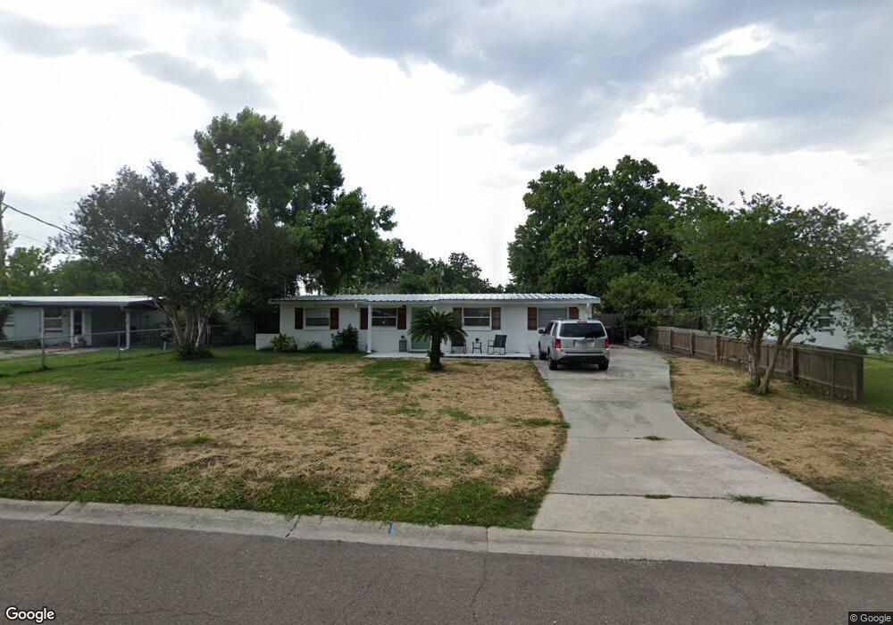
70 Forrestal Cir S Atlantic Beach, FL 32233
Estimated Value: $454,366 - $626,000
3
Beds
2
Baths
1,536
Sq Ft
$347/Sq Ft
Est. Value
About This Home
This home is located at 70 Forrestal Cir S, Atlantic Beach, FL 32233 and is currently estimated at $532,592, approximately $346 per square foot. 70 Forrestal Cir S is a home located in Duval County with nearby schools including Atlantic Beach Elementary School, Mayport Middle School, and Duncan U. Fletcher High School.
Ownership History
Date
Name
Owned For
Owner Type
Purchase Details
Closed on
Dec 10, 2004
Sold by
Wright Glenn M and Wright Sonia
Bought by
Nottmeier Eric and Synan Tracy
Current Estimated Value
Home Financials for this Owner
Home Financials are based on the most recent Mortgage that was taken out on this home.
Original Mortgage
$125,600
Interest Rate
5.67%
Mortgage Type
Purchase Money Mortgage
Create a Home Valuation Report for This Property
The Home Valuation Report is an in-depth analysis detailing your home's value as well as a comparison with similar homes in the area
Home Values in the Area
Average Home Value in this Area
Purchase History
| Date | Buyer | Sale Price | Title Company |
|---|---|---|---|
| Nottmeier Eric | $157,000 | Ponte Vedra Title Llc |
Source: Public Records
Mortgage History
| Date | Status | Borrower | Loan Amount |
|---|---|---|---|
| Closed | Nottmeier Eric | $125,600 |
Source: Public Records
Tax History Compared to Growth
Tax History
| Year | Tax Paid | Tax Assessment Tax Assessment Total Assessment is a certain percentage of the fair market value that is determined by local assessors to be the total taxable value of land and additions on the property. | Land | Improvement |
|---|---|---|---|---|
| 2025 | $4,881 | $272,638 | -- | -- |
| 2024 | $4,428 | $336,895 | $200,250 | $136,645 |
| 2023 | $4,428 | $306,033 | $166,875 | $139,158 |
| 2022 | $3,619 | $241,574 | $120,150 | $121,424 |
| 2021 | $3,454 | $226,990 | $120,150 | $106,840 |
| 2020 | $3,259 | $222,961 | $120,150 | $102,811 |
| 2019 | $2,911 | $185,821 | $83,438 | $102,383 |
| 2018 | $2,762 | $183,150 | $83,438 | $99,712 |
| 2017 | $2,523 | $163,079 | $53,400 | $109,679 |
| 2016 | $2,397 | $156,312 | $0 | $0 |
| 2015 | $2,079 | $120,743 | $0 | $0 |
| 2014 | $1,942 | $113,809 | $0 | $0 |
Source: Public Records
Map
Nearby Homes
- 98 Saratoga Cir S
- 0 West Plaza
- 70 W 6th St
- 106 Sunrise Ct
- 113 Oceangate Dr
- 401 Skate Rd
- 714 Aquatic Dr
- 110 Sandy Beach Ln
- 1093 Hibiscus St
- 1255-1285 Hibiscus St
- 800 Stocks St
- 1105 Hibiscus St
- 954 Stocks St
- 756 Aquatic Dr
- 156 Sandy Beach Ln
- 831 Bonita Rd
- 490 Mako Dr
- 325 Sargo Rd
- 747 Jasmine St
- 318 Royal Palms Dr
- 66 Forrestal Cir S
- 74 Forrestal Cir S
- 22 Forrestal Cir N
- 18 Forrestal Cir N
- 28 Forrestal Cir N
- 78 Forrestal Cir S
- 67 Forrestal Cir S
- 50 Forrestal Cir S
- 67 Forrestal Cir S
- 71 Forrestal Cir S
- 14 Forrestal Cir N
- 63 Forrestal Cir S
- 63 Forrestal Cir S
- 75 Forrestal Cir S
- 82 Forrestal Cir S
- 59 Forrestal Cir S
- 10 Forrestal Cir N
- 23 Forrestal Cir N
- 79 Forrestal Cir S
- 19 Forrestal Cir N