70 Foster Cove Rd Epworth, GA 30541
Estimated Value: $759,000 - $994,000
--
Bed
3
Baths
3,636
Sq Ft
$246/Sq Ft
Est. Value
About This Home
This home is located at 70 Foster Cove Rd, Epworth, GA 30541 and is currently estimated at $893,907, approximately $245 per square foot. 70 Foster Cove Rd is a home located in Fannin County with nearby schools including Fannin County High School.
Ownership History
Date
Name
Owned For
Owner Type
Purchase Details
Closed on
Aug 27, 2019
Sold by
Postell Timothy D
Bought by
Postell Daniel L and Postell Kellie E
Current Estimated Value
Home Financials for this Owner
Home Financials are based on the most recent Mortgage that was taken out on this home.
Original Mortgage
$250,000
Outstanding Balance
$219,428
Interest Rate
3.7%
Mortgage Type
New Conventional
Estimated Equity
$674,479
Create a Home Valuation Report for This Property
The Home Valuation Report is an in-depth analysis detailing your home's value as well as a comparison with similar homes in the area
Home Values in the Area
Average Home Value in this Area
Purchase History
| Date | Buyer | Sale Price | Title Company |
|---|---|---|---|
| Postell Daniel L | $400,000 | -- |
Source: Public Records
Mortgage History
| Date | Status | Borrower | Loan Amount |
|---|---|---|---|
| Open | Postell Daniel L | $250,000 |
Source: Public Records
Tax History Compared to Growth
Tax History
| Year | Tax Paid | Tax Assessment Tax Assessment Total Assessment is a certain percentage of the fair market value that is determined by local assessors to be the total taxable value of land and additions on the property. | Land | Improvement |
|---|---|---|---|---|
| 2024 | $2,298 | $284,796 | $42,349 | $242,447 |
| 2023 | $2,100 | $240,141 | $42,349 | $197,792 |
| 2022 | $2,123 | $242,566 | $42,349 | $200,217 |
| 2021 | $1,984 | $141,470 | $11,012 | $130,458 |
| 2020 | $2,016 | $141,470 | $11,012 | $130,458 |
| 2019 | $2,027 | $141,470 | $11,012 | $130,458 |
| 2018 | $2,149 | $141,470 | $11,012 | $130,458 |
| 2017 | $2,530 | $142,977 | $11,012 | $131,965 |
| 2016 | $1,842 | $110,440 | $11,012 | $99,428 |
| 2015 | $1,944 | $111,557 | $11,012 | $100,546 |
| 2014 | $2,100 | $142,083 | $16,649 | $125,434 |
| 2013 | -- | $130,832 | $16,649 | $114,183 |
Source: Public Records
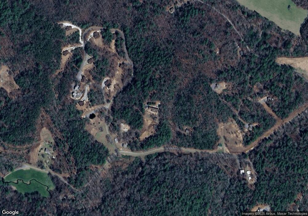
Map
Nearby Homes
- 85 Foster Cove Rd
- 550 Watson Rd
- Tract 2 Emmaus Rd
- 100 Cohutta View Rd
- 580 Emmaus Rd
- 370 High Ridge Rd
- 8556 Highway 2
- 101 Menagerie Ridge
- 463 Big Sky Trail Unit 15,16,17
- 463 Big Sky Trail
- 0 Menagerie Ridge
- 6460 Highway 2
- 28.65 AC Jolley Way
- 28 AC Jolley Way
- 3967 Highway 2
- 739 Big Sky Trail
- 1056 Jolley Way
- 70 Foster Cove Rd
- 0 Cypress Mountan
- 0 Lt 27 Stirrup Cove Unit 319396
- 401 Foster Cove Rd Unit ID1093466P
- 372 Foster Cove Rd
- 401 Foster Cove Rd
- 207 Foster Cove Rd
- 0 Foster Cove Rd Unit 8660455
- 0 Foster Cove Rd Unit 8498759
- 0 Lt 1b Majestic View Unit 314075
- LT 1B Majestic View
- 0 Lt 1b Majestic View Unit LOT 1B 314075
- LT 1A Majestic View
- 435 Foster Cove Rd
- 85 Foster Cove Rd
- 83 Foster Cove Rd
- 590 Watson Rd
- 89 Foster Cove Rd Unit 2
- 89 Foster Cove Rd
- 309 Foster Cove Rd