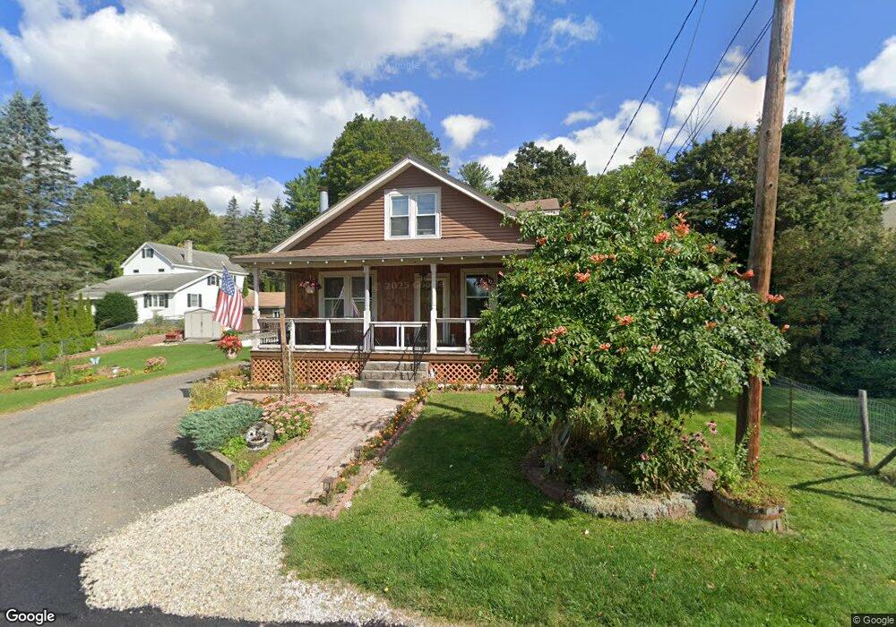
70 Gillette St Pittsfield, MA 01201
Estimated Value: $262,202 - $285,000
3
Beds
1
Bath
1,584
Sq Ft
$174/Sq Ft
Est. Value
About This Home
This home is located at 70 Gillette St, Pittsfield, MA 01201 and is currently estimated at $275,551, approximately $173 per square foot. 70 Gillette St is a home located in Berkshire County with nearby schools including Robert T. Capeless Elementary School, John T. Reid Middle School, and Taconic High School.
Ownership History
Date
Name
Owned For
Owner Type
Purchase Details
Closed on
Nov 30, 2018
Sold by
Wood-Kimber Jean M
Bought by
Kimber Robert D and Wood-Kimber Jean M
Current Estimated Value
Purchase Details
Closed on
Jun 8, 1992
Sold by
Commonwealth Mtg Co In
Bought by
Wood Jean M
Purchase Details
Closed on
Feb 7, 1992
Sold by
Murray David A
Bought by
Commonwealth Mtg Co
Purchase Details
Closed on
Dec 7, 1988
Sold by
Barron John I
Bought by
Murray David A
Purchase Details
Closed on
Dec 5, 1988
Sold by
Wixsom Dennis J
Bought by
Barron John I
Purchase Details
Closed on
Nov 10, 1987
Sold by
Potts Larri D
Bought by
Wixsom Dennis J
Create a Home Valuation Report for This Property
The Home Valuation Report is an in-depth analysis detailing your home's value as well as a comparison with similar homes in the area
Home Values in the Area
Average Home Value in this Area
Purchase History
| Date | Buyer | Sale Price | Title Company |
|---|---|---|---|
| Kimber Robert D | -- | -- | |
| Kimber Robert D | -- | -- | |
| Kimber Robert D | -- | -- | |
| Wood Jean M | $70,500 | -- | |
| Wood Jean M | $70,500 | -- | |
| Commonwealth Mtg Co | $64,400 | -- | |
| Commonwealth Mtg Co | $64,400 | -- | |
| Murray David A | $99,100 | -- | |
| Barron John I | $93,500 | -- | |
| Wixsom Dennis J | $82,000 | -- |
Source: Public Records
Mortgage History
| Date | Status | Borrower | Loan Amount |
|---|---|---|---|
| Previous Owner | Wixsom Dennis J | $61,000 | |
| Previous Owner | Wixsom Dennis J | $16,500 |
Source: Public Records
Tax History
| Year | Tax Paid | Tax Assessment Tax Assessment Total Assessment is a certain percentage of the fair market value that is determined by local assessors to be the total taxable value of land and additions on the property. | Land | Improvement |
|---|---|---|---|---|
| 2025 | $4,139 | $230,700 | $64,800 | $165,900 |
| 2024 | $3,801 | $206,000 | $64,800 | $141,200 |
| 2023 | $3,490 | $190,500 | $59,800 | $130,700 |
| 2022 | $3,174 | $171,000 | $57,300 | $113,700 |
| 2021 | $2,755 | $143,100 | $57,300 | $85,800 |
| 2020 | $2,793 | $141,700 | $57,300 | $84,400 |
| 2019 | $4,345 | $134,800 | $51,800 | $83,000 |
| 2018 | $2,541 | $133,200 | $51,800 | $81,400 |
| 2017 | $2,520 | $128,400 | $50,000 | $78,400 |
| 2016 | $2,441 | $130,100 | $50,000 | $80,100 |
| 2015 | $2,350 | $130,100 | $50,000 | $80,100 |
Source: Public Records
Map
Nearby Homes
- 23 E Alford St
- 117 Highland Ave
- 123 Highland Ave
- 109 Highland Ave
- 93 Highland Ave
- 99 Highland Ave
- 18 E Alford St
- 133 Highland Ave
- 114 Highland Ave
- 120 Highland Ave
- 0 E Alford St
- 110 Highland Ave
- 90 Highland Ave
- 90 Kearney Ave
- 29 Adell St
- 139 Highland Ave
- 110 Kearney Ave
- 87 Highland Ave
- 84 Kearney Ave
- 145 Highland Ave
Your Personal Tour Guide
Ask me questions while you tour the home.