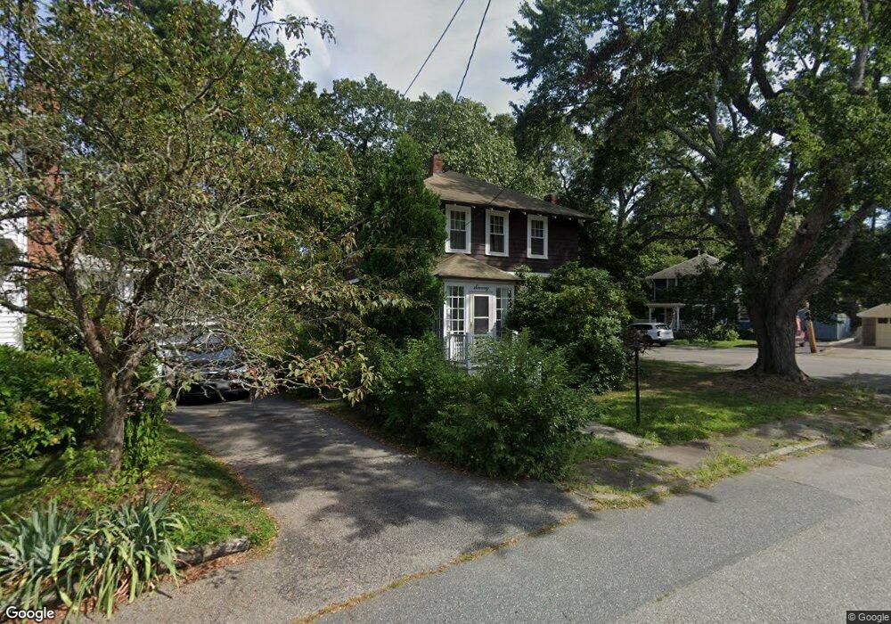
70 Glendale St Weymouth, MA 02188
Weymouth Landing NeighborhoodEstimated Value: $578,235 - $670,000
3
Beds
2
Baths
1,440
Sq Ft
$426/Sq Ft
Est. Value
About This Home
This home is located at 70 Glendale St, Weymouth, MA 02188 and is currently estimated at $613,809, approximately $426 per square foot. 70 Glendale St is a home located in Norfolk County with nearby schools including Abigail Adams Middle School, Frederick C Murphy, and Weymouth Middle School Chapman.
Ownership History
Date
Name
Owned For
Owner Type
Purchase Details
Closed on
May 3, 2024
Sold by
Ellen T Kropas T T and Ellen Kropas
Bought by
Kropas Richard
Current Estimated Value
Purchase Details
Closed on
Nov 9, 2017
Sold by
Kropas Ellen T
Bought by
Ellen T Kropas T T and Ellen Kropas
Create a Home Valuation Report for This Property
The Home Valuation Report is an in-depth analysis detailing your home's value as well as a comparison with similar homes in the area
Home Values in the Area
Average Home Value in this Area
Purchase History
| Date | Buyer | Sale Price | Title Company |
|---|---|---|---|
| Kropas Richard | -- | None Available | |
| Kropas Richard | -- | None Available | |
| Ellen T Kropas T T | -- | -- | |
| Ellen T Kropas T | -- | -- |
Source: Public Records
Tax History Compared to Growth
Tax History
| Year | Tax Paid | Tax Assessment Tax Assessment Total Assessment is a certain percentage of the fair market value that is determined by local assessors to be the total taxable value of land and additions on the property. | Land | Improvement |
|---|---|---|---|---|
| 2025 | $4,891 | $484,300 | $219,300 | $265,000 |
| 2024 | $4,741 | $461,600 | $208,900 | $252,700 |
| 2023 | $4,571 | $437,400 | $193,400 | $244,000 |
| 2022 | $4,472 | $390,200 | $179,100 | $211,100 |
| 2021 | $4,138 | $352,500 | $179,100 | $173,400 |
| 2020 | $3,955 | $331,800 | $179,100 | $152,700 |
| 2019 | $3,863 | $318,700 | $172,200 | $146,500 |
| 2018 | $3,751 | $300,100 | $164,000 | $136,100 |
| 2017 | $3,592 | $280,400 | $156,200 | $124,200 |
| 2016 | $3,452 | $269,700 | $150,200 | $119,500 |
| 2015 | $3,259 | $252,600 | $143,400 | $109,200 |
| 2014 | $3,126 | $235,000 | $133,400 | $101,600 |
Source: Public Records
Map
Nearby Homes
- 28 Webb St
- 9 Vine St Unit 1
- 19 Vine St Unit 4
- 114 Broad St Unit D
- 114 Broad St Unit C
- 25 Richmond St
- 286 Broad St
- 93 Wilson Ave
- 11 Richmond St
- 17 Worster Terrace
- 23-25 Lindbergh Ave
- 294 Commercial St
- 122 Washington St Unit 22
- 16 Lindbergh Ave
- 19 Common St
- 271 Roosevelt Rd
- 38 Idlewell St
- 33 Congress St
- 36 Brookside Rd
- 15 Summer St
- 66 Glendale St
- 345 Dorothea Dr
- 64 Glendale St
- 63 Roosevelt Rd
- 69 Glendale St
- 62 Glendale St
- 45 Roosevelt Rd
- 53 Glendale St
- 58 Glendale St
- 39 Roosevelt Rd
- 54 Roosevelt Rd
- 49 Glendale St
- 50 Roosevelt Rd
- 46 Roosevelt Rd
- 33 Roosevelt Rd
- 45 Glendale St
- 52 Glendale St
- 38 Roosevelt Rd
- 47 Pierce Rd
- 50 Glendale St