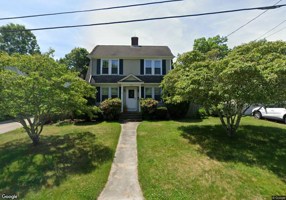
70 Gould St Wakefield, RI 02879
Estimated Value: $393,000 - $534,000
3
Beds
1
Bath
1,368
Sq Ft
$340/Sq Ft
Est. Value
About This Home
This home is located at 70 Gould St, Wakefield, RI 02879 and is currently estimated at $464,825, approximately $339 per square foot. 70 Gould St is a home located in Washington County with nearby schools including South Kingstown High School, Monsignor Matthew Clarke Catholic Regional School, and South Shore School.
Ownership History
Date
Name
Owned For
Owner Type
Purchase Details
Closed on
Sep 9, 2002
Sold by
Neri Stephen E and Neri Pamela A
Bought by
Kraser Frank W
Current Estimated Value
Home Financials for this Owner
Home Financials are based on the most recent Mortgage that was taken out on this home.
Original Mortgage
$157,500
Outstanding Balance
$63,973
Interest Rate
6.39%
Estimated Equity
$400,852
Purchase Details
Closed on
Nov 7, 1994
Sold by
Haslam Edward G
Bought by
Neri Stephen E and Browning Pamela A
Home Financials for this Owner
Home Financials are based on the most recent Mortgage that was taken out on this home.
Original Mortgage
$114,150
Interest Rate
8.71%
Purchase Details
Closed on
Jul 19, 1988
Sold by
Moran Michael
Bought by
Hoslam Edward
Create a Home Valuation Report for This Property
The Home Valuation Report is an in-depth analysis detailing your home's value as well as a comparison with similar homes in the area
Home Values in the Area
Average Home Value in this Area
Purchase History
| Date | Buyer | Sale Price | Title Company |
|---|---|---|---|
| Kraser Frank W | $175,000 | -- | |
| Neri Stephen E | $117,000 | -- | |
| Hoslam Edward | $125,000 | -- |
Source: Public Records
Mortgage History
| Date | Status | Borrower | Loan Amount |
|---|---|---|---|
| Open | Hoslam Edward | $157,500 | |
| Previous Owner | Hoslam Edward | $24,000 | |
| Previous Owner | Hoslam Edward | $113,300 | |
| Previous Owner | Hoslam Edward | $114,150 |
Source: Public Records
Tax History
| Year | Tax Paid | Tax Assessment Tax Assessment Total Assessment is a certain percentage of the fair market value that is determined by local assessors to be the total taxable value of land and additions on the property. | Land | Improvement |
|---|---|---|---|---|
| 2025 | $3,090 | $345,600 | $151,600 | $194,000 |
| 2024 | $3,144 | $284,500 | $116,700 | $167,800 |
| 2023 | $3,144 | $284,500 | $116,700 | $167,800 |
| 2022 | $3,115 | $284,500 | $116,700 | $167,800 |
| 2021 | $3,238 | $224,100 | $96,100 | $128,000 |
| 2020 | $3,238 | $224,100 | $96,100 | $128,000 |
| 2019 | $3,238 | $224,100 | $96,100 | $128,000 |
| 2018 | $3,279 | $209,100 | $92,900 | $116,200 |
| 2017 | $3,201 | $209,100 | $92,900 | $116,200 |
| 2016 | $3,155 | $209,100 | $92,900 | $116,200 |
| 2015 | $3,118 | $200,900 | $87,400 | $113,500 |
| 2014 | $3,110 | $200,900 | $87,400 | $113,500 |
Source: Public Records
Map
Nearby Homes
- 48 Stone Bridge Dr
- 301 Church St Unit 103
- 23 Rockland Dr
- 35 Abbey Rd
- 131 Columbia St
- 37 Columbia St
- 20 Cleveland St
- 57 Rocky Brook Way
- 260 Sweet Allen Farm Rd Unit 3
- 39 Secluded Dr
- 39 Hazard Ave
- 45 Cherry Ln Unit C
- 15 Jessica Ln
- 66 Christopher St
- 44 Vespia Ln
- 56 Vespia Ln
- 1808 Kingstown Rd
- 507 Curtis Corner Rd
- 30 Fox Ridge Cir
- 47 Tuckertown Rd
Your Personal Tour Guide
Ask me questions while you tour the home.