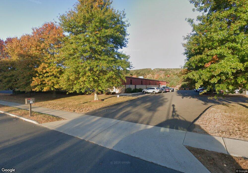
70 Halcyon Dr Bristol, CT 06010
Forestville NeighborhoodEstimated Value: $1,563,389
Studio
--
Bath
16,878
Sq Ft
$93/Sq Ft
Est. Value
About This Home
This home is located at 70 Halcyon Dr, Bristol, CT 06010 and is currently estimated at $1,563,389, approximately $92 per square foot. 70 Halcyon Dr is a home located in Hartford County with nearby schools including Bristol Central High School, Central Christian Academy, and St Matthew School.
Ownership History
Date
Name
Owned For
Owner Type
Purchase Details
Closed on
Jun 13, 2018
Sold by
Zwo Enterprises Llc
Bought by
7 Halcyon Realty Llc
Current Estimated Value
Home Financials for this Owner
Home Financials are based on the most recent Mortgage that was taken out on this home.
Original Mortgage
$330,000
Outstanding Balance
$285,395
Interest Rate
4.5%
Mortgage Type
Unknown
Estimated Equity
$1,277,994
Purchase Details
Closed on
Oct 12, 2001
Sold by
Tomaso Bros Inc
Bought by
Zwo Ent Llc
Create a Home Valuation Report for This Property
The Home Valuation Report is an in-depth analysis detailing your home's value as well as a comparison with similar homes in the area
Home Values in the Area
Average Home Value in this Area
Purchase History
| Date | Buyer | Sale Price | Title Company |
|---|---|---|---|
| 7 Halcyon Realty Llc | $800,000 | -- | |
| Zwo Ent Llc | $110,000 | -- |
Source: Public Records
Mortgage History
| Date | Status | Borrower | Loan Amount |
|---|---|---|---|
| Open | Zwo Ent Llc | $330,000 | |
| Closed | Zwo Ent Llc | $330,000 | |
| Previous Owner | Zwo Ent Llc | $920,000 |
Source: Public Records
Tax History
| Year | Tax Paid | Tax Assessment Tax Assessment Total Assessment is a certain percentage of the fair market value that is determined by local assessors to be the total taxable value of land and additions on the property. | Land | Improvement |
|---|---|---|---|---|
| 2025 | $24,147 | $715,470 | $160,020 | $555,450 |
| 2024 | $22,788 | $715,470 | $160,020 | $555,450 |
| 2023 | $21,715 | $715,470 | $160,020 | $555,450 |
| 2022 | $24,759 | $645,610 | $139,230 | $506,380 |
| 2021 | $24,759 | $645,610 | $139,230 | $506,380 |
| 2020 | $24,759 | $645,610 | $139,230 | $506,380 |
| 2019 | $24,565 | $645,610 | $139,230 | $506,380 |
| 2018 | $23,810 | $645,610 | $139,230 | $506,380 |
| 2017 | $22,424 | $622,370 | $147,350 | $475,020 |
| 2016 | $22,424 | $622,370 | $147,350 | $475,020 |
| 2015 | $21,540 | $622,370 | $147,350 | $475,020 |
| 2014 | $21,540 | $622,370 | $147,350 | $475,020 |
Source: Public Records
Map
Nearby Homes
- 155 Redstone Hill Rd Unit 60
- 155 Redstone Hill Rd Unit 176
- 38 Fairview Ave
- 122 Bayberry Dr
- 370 Emmett St Unit 4-4
- 370 Emmett St Unit 5-5
- 370 Emmett St Unit 5-2
- 370 Emmett St Unit 4-3
- 370 Emmett St Unit 4-2
- 370 Emmett St Unit 3-2
- 370 Emmett St Unit 5-3
- 370 Emmett St Unit 3-4
- 370 Emmett St Unit 4-1
- 370 Emmett St Unit 5-1
- 370 Emmett St Unit 5-4
- 370 Emmett St Unit 3-3
- 144 Bayberry Dr
- 426 Emmett St Unit A
- 422 Emmett St Unit E
- 513 Emmett St Unit 13
- 2 Robinwood Rd
- 2 Robinwood Rd
- 30 Cross St
- 231 Century Dr
- 31 Cross St
- 8 Aspen Way
- 9 Aspen Way
- 7 Aspen Way
- 6 Aspen Way Unit 6
- 11 Weathervane Rd
- 11 Weathervane Rd Unit 11
- 5 Aspen Way
- 12 Weathervane Rd
- 12 Weathervane Rd
- 12 Weathervane Rd Unit 12
- 4 Aspen Way
- 500 Lake Ave
- 17 Weathervane Rd
- 17 Weathervane Rd Unit 17
- 13 Weathervane Rd
Your Personal Tour Guide
Ask me questions while you tour the home.