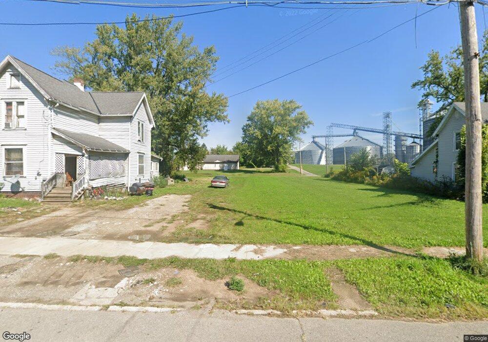
70 Harker St Mansfield, OH 44903
Estimated Value: $148,683
5
Beds
2
Baths
2,112
Sq Ft
$70/Sq Ft
Est. Value
About This Home
This home is located at 70 Harker St, Mansfield, OH 44903 and is currently priced at $148,683, approximately $70 per square foot. 70 Harker St is a home located in Richland County with nearby schools including Goal Digital Academy, St. Peter's Elementary/Montessori School, and St. Peter's High School/Junior High.
Ownership History
Date
Name
Owned For
Owner Type
Purchase Details
Closed on
Sep 21, 2022
Sold by
Richland County Land Reutilization Corpo
Bought by
Faith Temple Church Of God In Christ
Current Estimated Value
Purchase Details
Closed on
Apr 28, 2017
Sold by
Lukes Place Llc
Bought by
Troche George J
Purchase Details
Closed on
Feb 18, 2009
Sold by
Lintern Paul L and Lintern Peggy J
Bought by
Lukes Place Ltd
Purchase Details
Closed on
Jan 18, 2007
Sold by
Harris Christopher A and Hamilton Bart W
Bought by
Lintern Paul and Lintern Peggy
Purchase Details
Closed on
Sep 4, 1997
Sold by
Smeyak Ed
Bought by
Harris Christopher A and Harris Kelly S
Purchase Details
Closed on
May 27, 1997
Sold by
Est Roger Black
Bought by
Smeyak Ed
Create a Home Valuation Report for This Property
The Home Valuation Report is an in-depth analysis detailing your home's value as well as a comparison with similar homes in the area
Home Values in the Area
Average Home Value in this Area
Purchase History
| Date | Buyer | Sale Price | Title Company |
|---|---|---|---|
| Faith Temple Church Of God In Christ | $125 | -- | |
| Troche George J | $4,000 | None Available | |
| Lukes Place Ltd | -- | Heartland Title Agency Llc | |
| Lintern Paul | $1,500 | Chicago Title Agency Of Nort | |
| Harris Christopher A | $29,000 | -- | |
| Smeyak Ed | $6,700 | -- |
Source: Public Records
Tax History Compared to Growth
Tax History
| Year | Tax Paid | Tax Assessment Tax Assessment Total Assessment is a certain percentage of the fair market value that is determined by local assessors to be the total taxable value of land and additions on the property. | Land | Improvement |
|---|---|---|---|---|
| 2022 | $0 | $0 | $0 | $0 |
| 2021 | $1,304 | $960 | $960 | $0 |
| 2020 | $295 | $3,270 | $1,200 | $2,070 |
| 2019 | $419 | $3,270 | $1,200 | $2,070 |
| 2018 | $210 | $3,270 | $1,200 | $2,070 |
| 2017 | $205 | $3,270 | $1,200 | $2,070 |
| 2016 | $134 | $2,070 | $1,900 | $170 |
| 2015 | $128 | $2,070 | $1,900 | $170 |
| 2014 | $126 | $2,070 | $1,900 | $170 |
| 2012 | $102 | $2,180 | $2,000 | $180 |
Source: Public Records
Map
Nearby Homes
- 452 Daisy St
- 156 Buckingham Ave Unit 158
- 526 Bowman St
- 283 Bulkley Ave
- 371 Bell St
- 0 Voegele Ave Unit Lot 6048, 6049, 6
- 743 Bowman St
- 346 Newman St
- 458 Wayne St
- 426 Mcpherson St
- 169 W 5th St
- 219 W 5th St
- 282 W 5th St
- 362-364 W 6th St
- 311 Auburn St
- 512 Burns St
- 0 Highway 30
- 82 N Adams St
- 328 2nd Ave
- 395 Auburn St