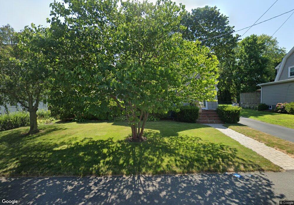
70 Hawthorn Rd Braintree, MA 02184
East Braintree NeighborhoodEstimated Value: $705,000 - $782,000
3
Beds
2
Baths
1,676
Sq Ft
$445/Sq Ft
Est. Value
About This Home
This home is located at 70 Hawthorn Rd, Braintree, MA 02184 and is currently estimated at $745,067, approximately $444 per square foot. 70 Hawthorn Rd is a home located in Norfolk County with nearby schools including Braintree High School, Meeting House Montessori School, and South Shore SDA School.
Ownership History
Date
Name
Owned For
Owner Type
Purchase Details
Closed on
Jun 30, 2025
Sold by
Depierro Ft and Depierro
Bought by
Depierro Nicholas and Depierro Jessica
Current Estimated Value
Purchase Details
Closed on
Jan 11, 2024
Sold by
Depierro Mary T
Bought by
Depierro Ft and Depierro
Create a Home Valuation Report for This Property
The Home Valuation Report is an in-depth analysis detailing your home's value as well as a comparison with similar homes in the area
Home Values in the Area
Average Home Value in this Area
Purchase History
| Date | Buyer | Sale Price | Title Company |
|---|---|---|---|
| Depierro Nicholas | $700,000 | -- | |
| Depierro Nicholas | $700,000 | -- | |
| Depierro Ft | -- | None Available | |
| Depierro Ft | -- | None Available |
Source: Public Records
Tax History Compared to Growth
Tax History
| Year | Tax Paid | Tax Assessment Tax Assessment Total Assessment is a certain percentage of the fair market value that is determined by local assessors to be the total taxable value of land and additions on the property. | Land | Improvement |
|---|---|---|---|---|
| 2025 | $8,091 | $810,700 | $412,000 | $398,700 |
| 2024 | $7,187 | $758,100 | $367,900 | $390,200 |
| 2023 | $6,853 | $702,200 | $333,500 | $368,700 |
| 2022 | $6,597 | $663,000 | $294,300 | $368,700 |
| 2021 | $6,382 | $641,400 | $294,300 | $347,100 |
| 2020 | $5,827 | $591,000 | $259,000 | $332,000 |
| 2019 | $5,738 | $568,700 | $259,000 | $309,700 |
| 2018 | $5,608 | $532,100 | $235,400 | $296,700 |
| 2017 | $5,530 | $514,900 | $235,400 | $279,500 |
| 2016 | $5,265 | $479,500 | $211,900 | $267,600 |
| 2015 | $5,201 | $469,800 | $211,900 | $257,900 |
| 2014 | $4,729 | $414,100 | $175,600 | $238,500 |
Source: Public Records
Map
Nearby Homes
- 106 Home Park Rd
- 39 Morrison Rd
- 48 Conrad St
- 9 Independence Ave Unit 307
- 25 John Paul Cir
- 63 Dickerman Ln
- 1 Pantano St
- 192 Federal Ave Unit B
- 86 Alton Rd
- 29 Joseph Rd
- 491 Washington St Unit 1
- 37 Monatiquot Ave
- 83 Madison Ave
- 177 Franklin St
- 74 Magnolia St
- 78 Windemere Cir
- 56 Penn St Unit 4
- 347 Centre St
- 166 Phipps St
- 21 Totman St Unit 202