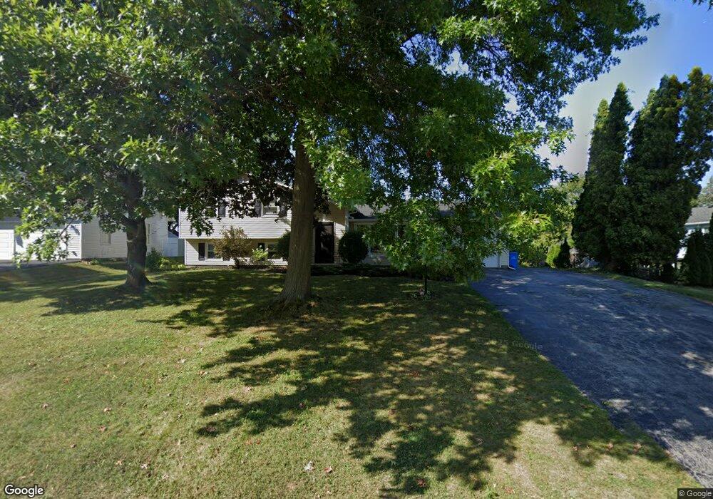
70 Hawthorne Dr Spencerport, NY 14559
Estimated Value: $281,783 - $340,000
3
Beds
2
Baths
1,632
Sq Ft
$193/Sq Ft
Est. Value
About This Home
This home is located at 70 Hawthorne Dr, Spencerport, NY 14559 and is currently estimated at $314,696, approximately $192 per square foot. 70 Hawthorne Dr is a home located in Monroe County with nearby schools including A M Cosgrove Middle School and Spencerport High School.
Ownership History
Date
Name
Owned For
Owner Type
Purchase Details
Closed on
Mar 31, 2010
Sold by
Moyer Matthew T and Moyer Kristen J
Bought by
Bruton Nicole
Current Estimated Value
Home Financials for this Owner
Home Financials are based on the most recent Mortgage that was taken out on this home.
Original Mortgage
$136,482
Outstanding Balance
$92,776
Interest Rate
5.5%
Mortgage Type
FHA
Estimated Equity
$221,920
Purchase Details
Closed on
Apr 3, 2003
Sold by
Bennett Michael V
Bought by
Moyer Matthew T
Purchase Details
Closed on
Jun 16, 1997
Sold by
Donner Arthur H and Donner June B
Bought by
Bennett Michael and Bennett Cheryl L
Create a Home Valuation Report for This Property
The Home Valuation Report is an in-depth analysis detailing your home's value as well as a comparison with similar homes in the area
Home Values in the Area
Average Home Value in this Area
Purchase History
| Date | Buyer | Sale Price | Title Company |
|---|---|---|---|
| Bruton Nicole | $139,000 | None Available | |
| Moyer Matthew T | $119,000 | Ross Cammorata | |
| Bennett Michael | $98,000 | -- |
Source: Public Records
Mortgage History
| Date | Status | Borrower | Loan Amount |
|---|---|---|---|
| Open | Bruton Nicole | $136,482 |
Source: Public Records
Tax History Compared to Growth
Tax History
| Year | Tax Paid | Tax Assessment Tax Assessment Total Assessment is a certain percentage of the fair market value that is determined by local assessors to be the total taxable value of land and additions on the property. | Land | Improvement |
|---|---|---|---|---|
| 2024 | $6,950 | $240,000 | $39,000 | $201,000 |
| 2023 | $6,711 | $149,800 | $29,800 | $120,000 |
| 2022 | $7,101 | $149,800 | $29,800 | $120,000 |
| 2021 | $6,917 | $149,800 | $29,800 | $120,000 |
| 2020 | $6,119 | $149,800 | $29,800 | $120,000 |
| 2019 | $5,778 | $149,800 | $29,800 | $120,000 |
| 2018 | $4,713 | $149,800 | $29,800 | $120,000 |
| 2017 | $2,584 | $136,200 | $29,800 | $106,400 |
| 2016 | $5,778 | $136,200 | $29,800 | $106,400 |
| 2015 | -- | $136,200 | $29,800 | $106,400 |
| 2014 | -- | $136,200 | $29,800 | $106,400 |
Source: Public Records
Map
Nearby Homes
- 76 Hawthorne Dr
- 326 Village Walk Cir
- 2283 S Union St
- 24 Birdsong Terrace
- 87 Highview Dr
- 49 Hillcrest Dr
- 154 Amity St
- 78 Clark St
- 0000 Bay Leaf Cir Lot#119
- 000
- 00 Bay Leaf Circle Lot#117
- 0 Unit R1620030
- 64 Coleman Ave
- 92 Coolidge Ave
- 28 Coolidge Ave
- 4028 Canal Rd
- 62 Clearview Dr
- 3375 Brockport Spencerport Rd
- 15 Chambers St
- 607 Trimmer Rd
- 59 Morningside Dr
- 51 Morningside Dr
- 74 Kirkgate Dr
- 82 Hawthorne Dr
- 71 Hawthorne Dr
- 68 Kirkgate Dr
- 65 Hawthorne Dr
- 45 Morningside Dr
- 77 Hawthorne Dr
- 59 Hawthorne Dr
- 62 Kirkgate Dr
- 62 Morningside Dr
- 56 Morningside Dr
- 83 Hawthorne Dr
- 53 Hawthorne Dr
- 39 Morningside Dr
- 50 Morningside Dr
- 81 Kirkgate Dr
- 56 Kirkgate Dr
- 89 Hawthorne Dr