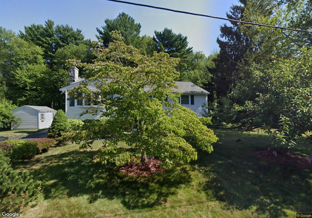
70 Haynes Rd Stoughton, MA 02072
Estimated Value: $577,541 - $634,000
3
Beds
1
Bath
1,662
Sq Ft
$367/Sq Ft
Est. Value
About This Home
This home is located at 70 Haynes Rd, Stoughton, MA 02072 and is currently estimated at $610,385, approximately $367 per square foot. 70 Haynes Rd is a home located in Norfolk County with nearby schools including South Elementary School, Dr. Robert G. O'Donnell Middle School, and Stoughton High School.
Ownership History
Date
Name
Owned For
Owner Type
Purchase Details
Closed on
Jun 26, 2023
Sold by
Sinnett Alan D and Sinnett Pamela A
Bought by
Sinnett Family Irt and Sinnett
Current Estimated Value
Purchase Details
Closed on
Jul 31, 1985
Bought by
Sinnett Alan D and Sinnett Pamela A
Create a Home Valuation Report for This Property
The Home Valuation Report is an in-depth analysis detailing your home's value as well as a comparison with similar homes in the area
Home Values in the Area
Average Home Value in this Area
Purchase History
| Date | Buyer | Sale Price | Title Company |
|---|---|---|---|
| Sinnett Family Irt | -- | None Available | |
| Sinnett Alan D | $123,000 | -- |
Source: Public Records
Mortgage History
| Date | Status | Borrower | Loan Amount |
|---|---|---|---|
| Previous Owner | Sinnett Alan D | $70,000 | |
| Previous Owner | Sinnett Alan D | $70,000 |
Source: Public Records
Tax History Compared to Growth
Tax History
| Year | Tax Paid | Tax Assessment Tax Assessment Total Assessment is a certain percentage of the fair market value that is determined by local assessors to be the total taxable value of land and additions on the property. | Land | Improvement |
|---|---|---|---|---|
| 2025 | $6,423 | $518,800 | $229,600 | $289,200 |
| 2024 | $6,221 | $488,700 | $209,200 | $279,500 |
| 2023 | $6,030 | $445,000 | $194,400 | $250,600 |
| 2022 | $5,801 | $402,600 | $177,700 | $224,900 |
| 2021 | $5,602 | $371,000 | $161,100 | $209,900 |
| 2020 | $5,317 | $357,100 | $155,500 | $201,600 |
| 2019 | $5,377 | $350,500 | $155,500 | $195,000 |
| 2018 | $4,687 | $316,500 | $148,100 | $168,400 |
| 2017 | $4,409 | $304,300 | $140,700 | $163,600 |
| 2016 | $4,222 | $282,000 | $129,600 | $152,400 |
| 2015 | $4,155 | $274,600 | $122,200 | $152,400 |
| 2014 | $4,018 | $255,300 | $111,100 | $144,200 |
Source: Public Records
Map
Nearby Homes