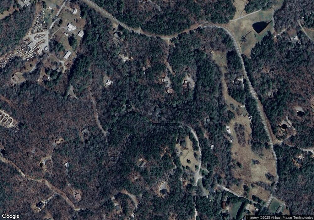
70 Hemlock Cir Blue Ridge, GA 30513
Estimated Value: $492,000 - $821,000
--
Bed
3
Baths
2,420
Sq Ft
$273/Sq Ft
Est. Value
About This Home
This home is located at 70 Hemlock Cir, Blue Ridge, GA 30513 and is currently estimated at $661,213, approximately $273 per square foot. 70 Hemlock Cir is a home located in Fannin County with nearby schools including Fannin County High School.
Ownership History
Date
Name
Owned For
Owner Type
Purchase Details
Closed on
Jan 21, 2011
Sold by
Henry Donald
Bought by
Brinkley Lu Ann
Current Estimated Value
Home Financials for this Owner
Home Financials are based on the most recent Mortgage that was taken out on this home.
Original Mortgage
$200,000
Outstanding Balance
$136,419
Interest Rate
4.79%
Mortgage Type
New Conventional
Estimated Equity
$524,794
Purchase Details
Closed on
Mar 11, 2000
Sold by
Pack Frank
Bought by
Henry Donald
Purchase Details
Closed on
Jul 16, 1992
Bought by
Pack Frank
Purchase Details
Closed on
Jun 4, 1991
Bought by
Peoples Bank/Fannin
Create a Home Valuation Report for This Property
The Home Valuation Report is an in-depth analysis detailing your home's value as well as a comparison with similar homes in the area
Home Values in the Area
Average Home Value in this Area
Purchase History
| Date | Buyer | Sale Price | Title Company |
|---|---|---|---|
| Brinkley Lu Ann | $265,000 | -- | |
| Henry Donald | $10,500 | -- | |
| Pack Frank | $80,000 | -- | |
| Peoples Bank/Fannin | -- | -- |
Source: Public Records
Mortgage History
| Date | Status | Borrower | Loan Amount |
|---|---|---|---|
| Open | Brinkley Lu Ann | $200,000 |
Source: Public Records
Tax History Compared to Growth
Tax History
| Year | Tax Paid | Tax Assessment Tax Assessment Total Assessment is a certain percentage of the fair market value that is determined by local assessors to be the total taxable value of land and additions on the property. | Land | Improvement |
|---|---|---|---|---|
| 2024 | $1,311 | $142,994 | $24,644 | $118,350 |
| 2023 | $1,263 | $123,824 | $24,644 | $99,180 |
| 2022 | $1,275 | $125,082 | $24,644 | $100,438 |
| 2021 | $1,219 | $86,919 | $24,644 | $62,275 |
| 2020 | $1,239 | $86,919 | $24,644 | $62,275 |
| 2019 | $1,263 | $86,919 | $24,644 | $62,275 |
| 2018 | $1,339 | $86,919 | $24,644 | $62,275 |
| 2017 | $1,390 | $78,572 | $15,564 | $63,008 |
| 2016 | $1,215 | $71,524 | $15,564 | $55,960 |
| 2015 | $1,408 | $79,341 | $16,544 | $62,797 |
| 2014 | $1,590 | $90,200 | $16,544 | $73,656 |
| 2013 | -- | $78,310 | $16,544 | $61,766 |
Source: Public Records
Map
Nearby Homes
- 150 Laurel Trace
- 9 Quail Hollow
- 78 Brass Hill Rd Unit 146
- 78 Brass Hill Rd
- 201 Plantation Ln
- 249 Sugar Mountain Rd
- 30 Laurel Branch
- 825 Price Rd
- 458 Sugar Mountain Rd
- 620 Price Rd
- 31 Highland Hammock Dr
- 659 Piney Acres Rd
- 134 Cohutta Overlook Trail
- 114 Price Ln
- 114 Price Cir
- 411 Piney Acres Rd
- 384 Mountain Highlands Ct
- 15.67Acs Piney Acres Rd
- 13.67Acs Piney Acres Rd
- 344 Cascade Ln
- 166 Hemlock Cir
- 4950 Hemlock Heights
- LOT41 Hemlock
- 1552 Chestnut Gap Rd
- 134 Hemlock Cir
- 19 Grouse Run
- 1556 Chestnut Gap Rd
- 180 Laurel Crossing
- 322 Laurel Dr
- 90 Grouse Run
- 56 Laurel Dr
- 52 Hemlock
- 48 Laural Dr
- 1444 Chestnut Gap Rd
- 20 Grouse Run
- 1514 Chestnut Gap Rd
- 50 Laurel Dr
- 312 Laurel Crossing
- 0 Laurel Dr Unit 107741
- 0 Laurel Dr Unit 7422363
