70 High St Dalton, MA 01226
Estimated Value: $272,000 - $288,000
3
Beds
2
Baths
1,585
Sq Ft
$176/Sq Ft
Est. Value
About This Home
This home is located at 70 High St, Dalton, MA 01226 and is currently estimated at $279,440, approximately $176 per square foot. 70 High St is a home located in Berkshire County with nearby schools including Wahconah Regional High School and St. Agnes Academy.
Ownership History
Date
Name
Owned For
Owner Type
Purchase Details
Closed on
Jan 28, 2013
Sold by
Daly Charles G and Merry-Daly Suzanne M
Bought by
Merry-Daly Suzanne M
Current Estimated Value
Purchase Details
Closed on
Apr 21, 1999
Sold by
Carmel Robert J and Spence Kathleen M
Bought by
Daly Charles G and Merrydaly Suzanne M
Purchase Details
Closed on
Jul 29, 1988
Sold by
Tynan Dayton F
Bought by
Daly Charles G
Home Financials for this Owner
Home Financials are based on the most recent Mortgage that was taken out on this home.
Original Mortgage
$82,905
Interest Rate
10.39%
Mortgage Type
Purchase Money Mortgage
Create a Home Valuation Report for This Property
The Home Valuation Report is an in-depth analysis detailing your home's value as well as a comparison with similar homes in the area
Home Values in the Area
Average Home Value in this Area
Purchase History
| Date | Buyer | Sale Price | Title Company |
|---|---|---|---|
| Merry-Daly Suzanne M | -- | -- | |
| Merry-Daly Suzanne M | -- | -- | |
| Daly Charles G | $4,000 | -- | |
| Daly Charles G | $4,000 | -- | |
| Daly Charles G | $81,500 | -- |
Source: Public Records
Mortgage History
| Date | Status | Borrower | Loan Amount |
|---|---|---|---|
| Open | Merry-Daly Suzanne M | $120,000 | |
| Previous Owner | Daly Charles G | $106,600 | |
| Previous Owner | Daly Charles G | $97,686 | |
| Previous Owner | Daly Charles G | $82,905 |
Source: Public Records
Tax History Compared to Growth
Tax History
| Year | Tax Paid | Tax Assessment Tax Assessment Total Assessment is a certain percentage of the fair market value that is determined by local assessors to be the total taxable value of land and additions on the property. | Land | Improvement |
|---|---|---|---|---|
| 2025 | $3,972 | $219,100 | $43,000 | $176,100 |
| 2024 | $3,746 | $205,800 | $38,900 | $166,900 |
| 2023 | $3,359 | $174,600 | $34,400 | $140,200 |
| 2022 | $3,163 | $152,500 | $34,400 | $118,100 |
| 2021 | $2,959 | $143,500 | $32,800 | $110,700 |
| 2020 | $2,893 | $142,600 | $32,800 | $109,800 |
| 2019 | $2,640 | $135,500 | $33,100 | $102,400 |
| 2018 | $2,620 | $131,600 | $33,100 | $98,500 |
| 2017 | $2,615 | $131,600 | $33,100 | $98,500 |
| 2016 | $2,583 | $131,600 | $33,100 | $98,500 |
| 2015 | $2,535 | $130,200 | $33,100 | $97,100 |
Source: Public Records
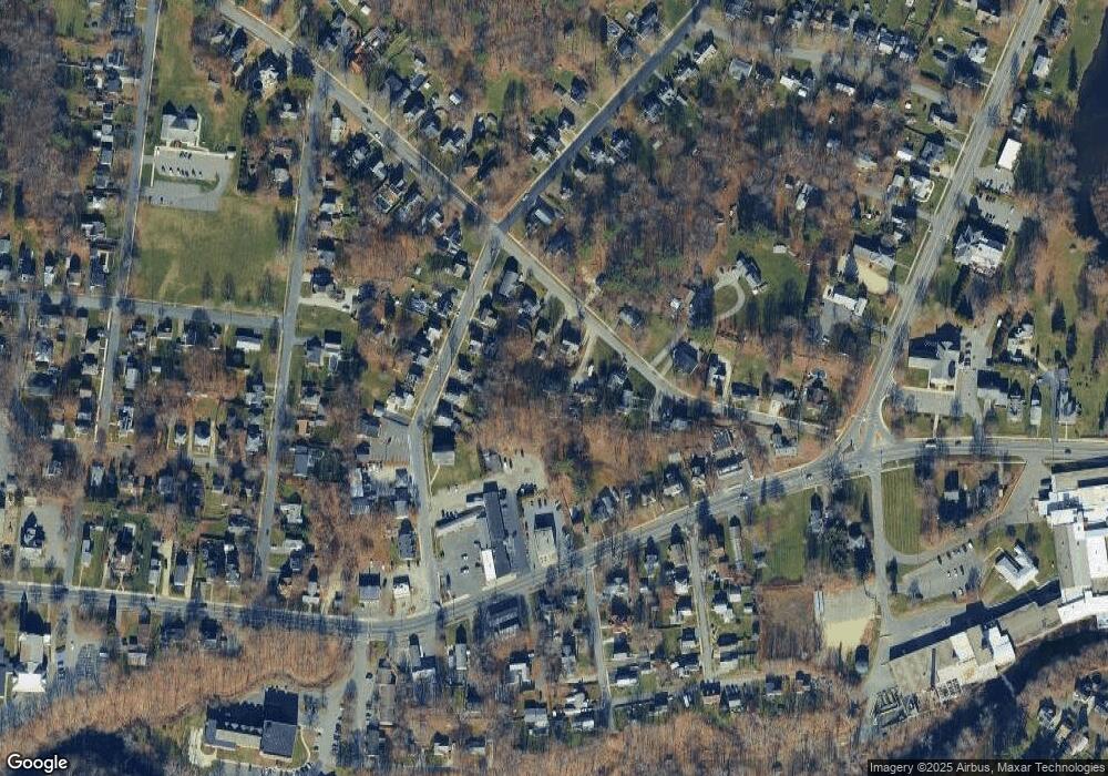
Map
Nearby Homes
- 750 Main St
- 774 Main St
- 60 North St Unit 4
- 188 North St
- 321 High St
- 60 Franklin St
- 48 Mountain View Terrace
- 56 Tower Rd
- 66 Oak Street Extension
- 18 Chestnut St
- 0 Crane Ave Suite 2 -- Unit 248430
- 0 Crane Ave Suite 1 -- Unit 248429
- 17 Sunnyside Dr
- 249 Orchard Rd
- 39 Barton Hill Rd
- 9 Crane Ave
- 0 Crane Ave
- 190 Fox Rd
- 144 Kittredge Rd
- 218 Johnson Rd