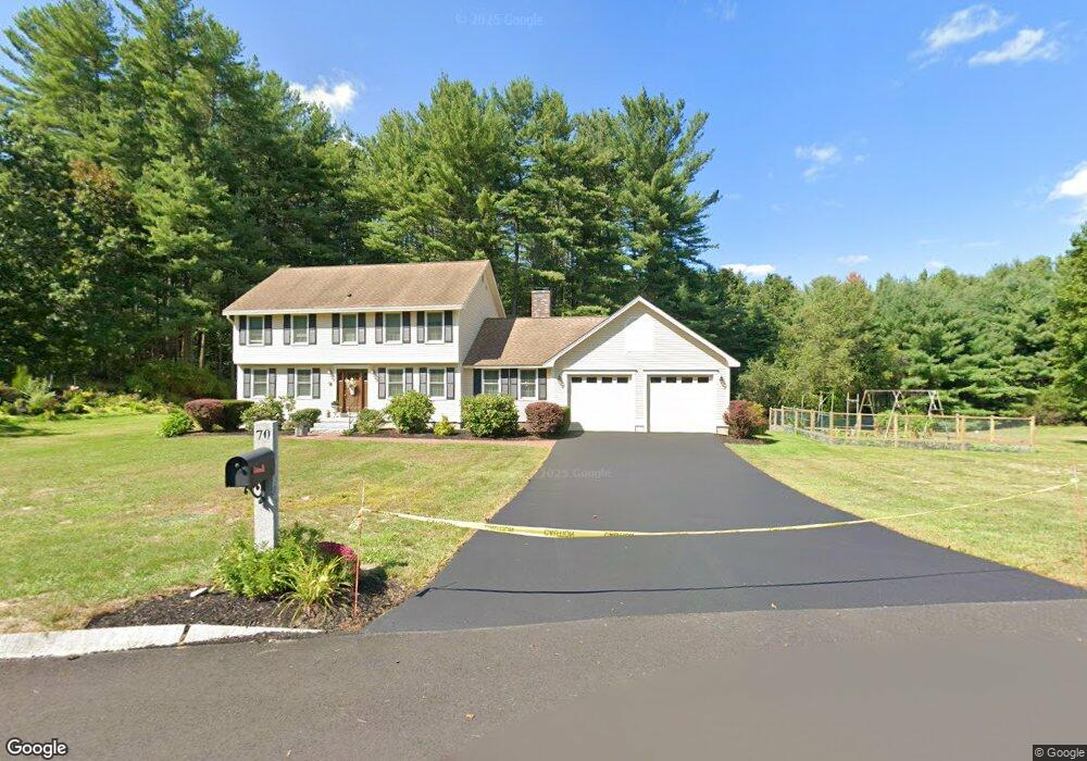
70 Highland St Dunstable, MA 01827
Estimated Value: $713,830 - $841,000
4
Beds
3
Baths
2,072
Sq Ft
$382/Sq Ft
Est. Value
About This Home
This home is located at 70 Highland St, Dunstable, MA 01827 and is currently estimated at $792,208, approximately $382 per square foot. 70 Highland St is a home located in Middlesex County with nearby schools including Groton Dunstable Regional High School.
Ownership History
Date
Name
Owned For
Owner Type
Purchase Details
Closed on
Apr 6, 2022
Sold by
Dubay Michael A and Dubay Corrine C
Bought by
Int Dubay
Current Estimated Value
Purchase Details
Closed on
Jan 29, 2001
Sold by
Warren Gregory S and Warren Michelle M
Bought by
Dubay Michael and Dubay Corrine C
Home Financials for this Owner
Home Financials are based on the most recent Mortgage that was taken out on this home.
Original Mortgage
$291,550
Interest Rate
7.39%
Mortgage Type
Purchase Money Mortgage
Purchase Details
Closed on
Mar 27, 1998
Sold by
Gambardella Louis L and Gambardella Lee Anne
Bought by
Warren Gregory S and Warren Michelle M
Create a Home Valuation Report for This Property
The Home Valuation Report is an in-depth analysis detailing your home's value as well as a comparison with similar homes in the area
Home Values in the Area
Average Home Value in this Area
Purchase History
| Date | Buyer | Sale Price | Title Company |
|---|---|---|---|
| Int Dubay | -- | None Available | |
| Dubay Michael | $343,000 | -- | |
| Warren Gregory S | $265,000 | -- |
Source: Public Records
Mortgage History
| Date | Status | Borrower | Loan Amount |
|---|---|---|---|
| Previous Owner | Warren Gregory S | $302,000 | |
| Previous Owner | Warren Gregory S | $291,000 | |
| Previous Owner | Warren Gregory S | $291,550 |
Source: Public Records
Tax History Compared to Growth
Tax History
| Year | Tax Paid | Tax Assessment Tax Assessment Total Assessment is a certain percentage of the fair market value that is determined by local assessors to be the total taxable value of land and additions on the property. | Land | Improvement |
|---|---|---|---|---|
| 2025 | $7,821 | $568,800 | $219,000 | $349,800 |
| 2024 | $7,600 | $544,400 | $212,700 | $331,700 |
| 2023 | $7,632 | $509,800 | $212,700 | $297,100 |
| 2022 | $7,094 | $465,200 | $212,700 | $252,500 |
| 2021 | $6,958 | $424,000 | $188,400 | $235,600 |
| 2020 | $6,842 | $406,300 | $180,200 | $226,100 |
| 2019 | $6,710 | $393,300 | $180,200 | $213,100 |
| 2018 | $6,646 | $378,900 | $178,700 | $200,200 |
| 2017 | $6,410 | $376,600 | $178,700 | $197,900 |
| 2016 | $5,797 | $350,300 | $154,200 | $196,100 |
| 2015 | $5,944 | $355,300 | $151,000 | $204,300 |
| 2014 | $5,603 | $355,300 | $151,000 | $204,300 |
Source: Public Records
Map
Nearby Homes
- 319 Pleasant St
- 0 Lowell St
- 473 High St
- 153 Off Pond St
- 446 Westford St
- 41 Pinebrook Rd
- 91 Century Way
- 19 Georgetown Dr
- 5 Doucet Ave
- 63 Wilderness Dr Unit Derby 2
- 1 Doucet Ave
- 58 Wilderness Dr
- 50 Wilderness Dr
- 65 Wilderness Dr
- 1 Wilderness Dr
- 2 Wilderness Dr
- 4 Wilderness Dr
- 79 Wilderness Dr
- 3 Wilderness Dr
- 7 Wilderness Dr