70 Hwy 76 Loop Clayton, GA 30525
Estimated Value: $174,000 - $248,000
3
Beds
2
Baths
1,395
Sq Ft
$159/Sq Ft
Est. Value
About This Home
This home is located at 70 Hwy 76 Loop, Clayton, GA 30525 and is currently estimated at $222,396, approximately $159 per square foot. 70 Hwy 76 Loop is a home located in Rabun County with nearby schools including Rabun County Primary School and Rabun County High School.
Ownership History
Date
Name
Owned For
Owner Type
Purchase Details
Closed on
Jul 31, 2017
Sold by
Arnone Living Trust
Bought by
Homer Rita L
Current Estimated Value
Purchase Details
Closed on
Jan 1, 1995
Bought by
Arnone Paul L and Arnone Catherine S
Purchase Details
Closed on
Aug 1, 1989
Purchase Details
Closed on
Oct 1, 1982
Purchase Details
Closed on
Sep 1, 1980
Purchase Details
Closed on
Oct 1, 1973
Create a Home Valuation Report for This Property
The Home Valuation Report is an in-depth analysis detailing your home's value as well as a comparison with similar homes in the area
Home Values in the Area
Average Home Value in this Area
Purchase History
| Date | Buyer | Sale Price | Title Company |
|---|---|---|---|
| Homer Rita L | $85,000 | -- | |
| Homer Rita L | $85,000 | -- | |
| Arnone Paul L | $46,000 | -- | |
| Arnone Paul L | $46,000 | -- | |
| -- | $43,000 | -- | |
| -- | $43,000 | -- | |
| -- | $20,900 | -- | |
| -- | $20,900 | -- | |
| -- | $22,000 | -- | |
| -- | $22,000 | -- | |
| -- | $16,700 | -- | |
| -- | $16,700 | -- |
Source: Public Records
Tax History
| Year | Tax Paid | Tax Assessment Tax Assessment Total Assessment is a certain percentage of the fair market value that is determined by local assessors to be the total taxable value of land and additions on the property. | Land | Improvement |
|---|---|---|---|---|
| 2025 | $727 | $45,283 | $14,247 | $31,036 |
| 2024 | $694 | $43,227 | $14,247 | $28,980 |
| 2023 | $702 | $38,378 | $13,409 | $24,969 |
| 2022 | $668 | $36,489 | $12,571 | $23,918 |
| 2021 | $603 | $32,166 | $11,733 | $20,433 |
| 2020 | $568 | $29,288 | $11,733 | $17,555 |
| 2019 | $572 | $29,288 | $11,733 | $17,555 |
| 2018 | $574 | $29,288 | $11,733 | $17,555 |
| 2017 | $520 | $27,677 | $10,688 | $16,989 |
| 2016 | $480 | $25,481 | $12,024 | $13,457 |
| 2015 | $490 | $25,443 | $12,024 | $13,419 |
| 2014 | $492 | $25,427 | $12,008 | $13,419 |
Source: Public Records
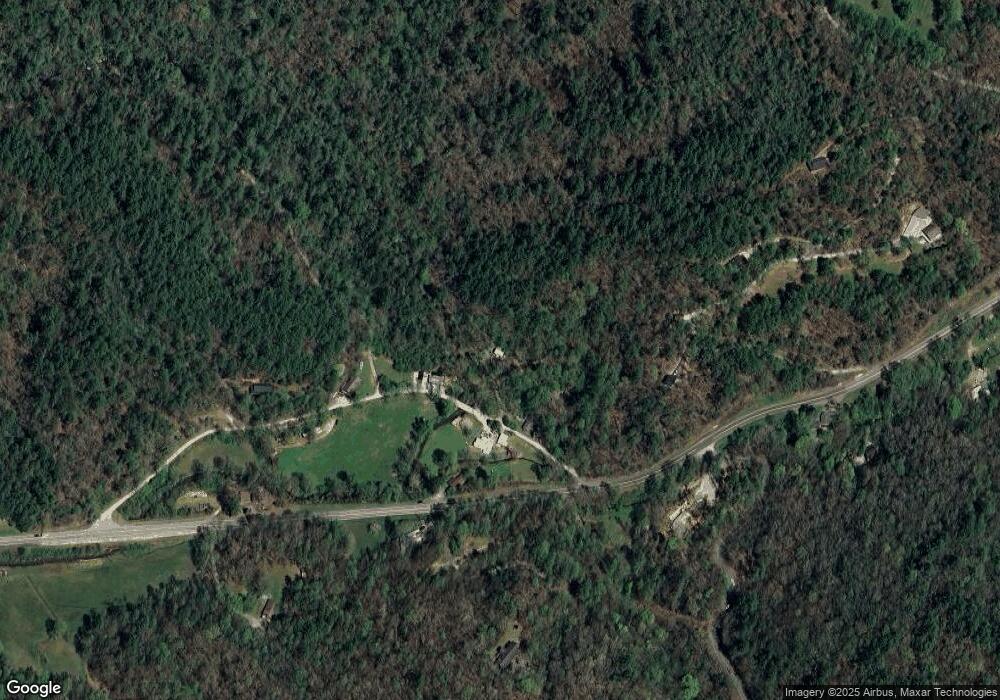
Map
Nearby Homes
- 0 Highway 76 E Unit 7628537
- 0 Highway 76 E Unit 10566724
- 0 Highway 76 E Unit 10579447
- 4747 Highway 76 W
- 3197 Bridge Creek Rd
- 1176 Tiger Pass Dr
- 456 Barnyard Ln
- 181 Barnyard Ln
- 3.15 ACRES Barnyard Ln
- 866 Glassy Orchard Rd
- 0 Round Top Dr Unit 43B 10606429
- 832 Round Top Dr
- 2761 Germany Rd
- 710 Northridge Dr
- 2280 Germany Rd
- 38 Old Blue Trail
- 0 Peach Orchard Way
- 18 Charlie Mountain Rd
- 7219 Highway 76 W
- 0 High Holly Unit 3HH
- 70 Highway 76 Loop
- 70 Highway 76 Loop
- 50 Highway 76 Loop
- 50 W 76 Loop
- 4714 Highway 76 W
- 4716 Highway 76 W
- 4716 Hwy 76 W
- 118 Highway 76 Loop
- 118 Highway 76 Loop
- 118 Highway 76 Loop
- 118 Hwy 76w Loop
- 118 W 76 Loop Rd
- 0 Hwy 76 E Unit 5982093
- 0 Highway 76 E Unit TR B 2702271
- 0 Highway 76 E Unit 2702240
- 0 Highway 76 E Unit TR C 2702832
- 0 Highway 76 E Unit TR A 2702792
- 0 Highway 76 W Unit 2572512
- 0 Hwy 76 E Unit 2603966
- 0 Hwy 76 E Unit 3058402
Your Personal Tour Guide
Ask me questions while you tour the home.