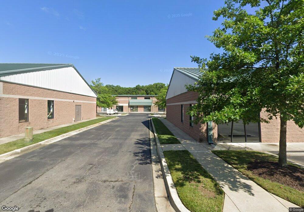
70 Industrial Park Dr Unit 2A Waldorf, MD 20602
Estimated Value: $358,391
--
Bed
--
Bath
1,203
Sq Ft
$298/Sq Ft
Est. Value
About This Home
This home is located at 70 Industrial Park Dr Unit 2A, Waldorf, MD 20602 and is currently estimated at $358,391, approximately $297 per square foot. 70 Industrial Park Dr Unit 2A is a home located in Charles County with nearby schools including Dr. Samuel A. Mudd Elementary School, John Hanson Middle School, and Thomas Stone High School.
Ownership History
Date
Name
Owned For
Owner Type
Purchase Details
Closed on
Nov 6, 2007
Sold by
Levin Laplata Limited Partnership
Bought by
Hash Charles E and Hash Desiree D
Current Estimated Value
Home Financials for this Owner
Home Financials are based on the most recent Mortgage that was taken out on this home.
Original Mortgage
$254,400
Outstanding Balance
$161,210
Interest Rate
6.41%
Mortgage Type
Purchase Money Mortgage
Estimated Equity
$197,181
Create a Home Valuation Report for This Property
The Home Valuation Report is an in-depth analysis detailing your home's value as well as a comparison with similar homes in the area
Home Values in the Area
Average Home Value in this Area
Purchase History
| Date | Buyer | Sale Price | Title Company |
|---|---|---|---|
| Hash Charles E | $253,457 | -- |
Source: Public Records
Mortgage History
| Date | Status | Borrower | Loan Amount |
|---|---|---|---|
| Open | Hash Charles E | $254,400 |
Source: Public Records
Tax History Compared to Growth
Tax History
| Year | Tax Paid | Tax Assessment Tax Assessment Total Assessment is a certain percentage of the fair market value that is determined by local assessors to be the total taxable value of land and additions on the property. | Land | Improvement |
|---|---|---|---|---|
| 2025 | $10,144 | $322,100 | -- | -- |
| 2024 | $3,934 | $269,700 | $67,400 | $202,300 |
| 2023 | $3,854 | $269,700 | $67,400 | $202,300 |
| 2022 | $3,880 | $269,700 | $67,400 | $202,300 |
| 2021 | $3,578 | $269,700 | $67,400 | $202,300 |
| 2020 | $3,578 | $250,167 | $0 | $0 |
| 2019 | $3,304 | $230,633 | $0 | $0 |
| 2018 | $3,007 | $211,100 | $52,700 | $158,400 |
| 2017 | $2,999 | $211,100 | $0 | $0 |
| 2016 | -- | $211,100 | $0 | $0 |
| 2015 | $2,776 | $211,100 | $0 | $0 |
| 2014 | $2,776 | $211,100 | $0 | $0 |
Source: Public Records
Map
Nearby Homes
- 0 Smallwood Dr Unit MDCH2031694
- 302 Barksdale Ave
- 110 Sherman Rd
- 221 Brent Rd
- 314 Rivermont Dr
- 1016 Stone Ave
- 137 Garner Ave
- 139 Garner Ave
- 228 Garner Ave
- 3298 Old Washington Rd
- 801 Roxbury Ct
- 717 Barrington Dr
- 1115 Hamlin Rd
- 307 Tompkins Ln
- 119 Jefferson Rd
- 1205 Adams Ct
- 3864 Kelly Green Place
- 3893 Light Arms Place
- 3071 Donegal Ct
- 4058 Bluebird Dr
- 70 Industrial Park Dr Unit 3E
- 70 Industrial Park Dr Unit 3G
- 70 Industrial Park Dr Unit 2B
- 70 Industrial Park Dr Unit 3J
- 70 Industrial Park Dr Unit 3C
- 70 Industrial Park Dr Unit C
- 70 Industrial Park Dr Unit 1D
- 70 Industrial Park Dr Unit 1
- 70 Industrial Park Dr Unit 2D
- 70 Industrial Park Dr Unit 3 E UPPER LEVEL
- 71 Industrial Park Dr
- 68 Industrial Park Dr
- 60 Industrial Park Dr
- 69 Industrial Park Dr
- 69 Industrial Park Dr Unit 6-KR
- 65 Industrial Park Dr
- 918 Copley Ave
- 916 Copley Ave
- 920 Copley Ave
- 914 Copley Ave