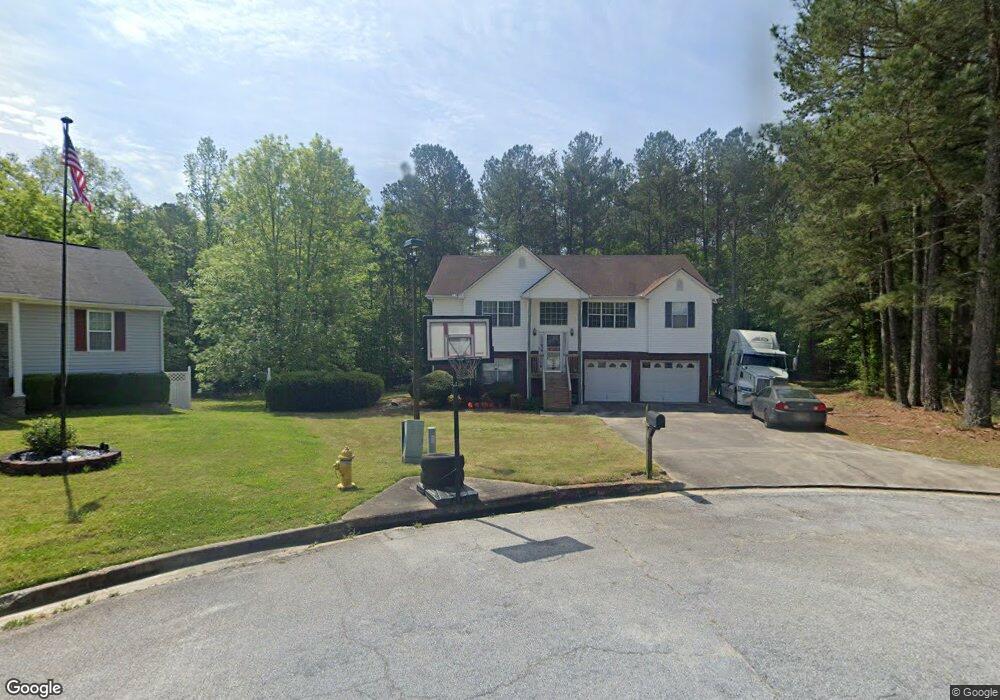
70 Justin Ct Covington, GA 30016
Estimated Value: $273,452 - $314,000
Studio
2
Baths
1,499
Sq Ft
$191/Sq Ft
Est. Value
About This Home
This home is located at 70 Justin Ct, Covington, GA 30016 and is currently estimated at $286,363, approximately $191 per square foot. 70 Justin Ct is a home located in Newton County with nearby schools including Porterdale Elementary School, Clements Middle School, and Newton High School.
Ownership History
Date
Name
Owned For
Owner Type
Purchase Details
Closed on
Jun 10, 2002
Sold by
Swart David L and Swart Michele T
Bought by
Pope Amber M
Current Estimated Value
Home Financials for this Owner
Home Financials are based on the most recent Mortgage that was taken out on this home.
Original Mortgage
$114,000
Outstanding Balance
$46,648
Interest Rate
6.77%
Mortgage Type
New Conventional
Estimated Equity
$239,715
Purchase Details
Closed on
Dec 30, 1998
Sold by
Didier Debra S
Bought by
Swart David L and Swart Michele T
Home Financials for this Owner
Home Financials are based on the most recent Mortgage that was taken out on this home.
Original Mortgage
$108,000
Interest Rate
6.87%
Mortgage Type
New Conventional
Purchase Details
Closed on
Nov 29, 1995
Sold by
Country Woods Dev Corp
Bought by
Didier Debra S
Create a Home Valuation Report for This Property
The Home Valuation Report is an in-depth analysis detailing your home's value as well as a comparison with similar homes in the area
Home Values in the Area
Average Home Value in this Area
Purchase History
| Date | Buyer | Sale Price | Title Company |
|---|---|---|---|
| Pope Amber M | $129,000 | -- | |
| Swart David L | $125,000 | -- | |
| Didier Debra S | $14,000 | -- |
Source: Public Records
Mortgage History
| Date | Status | Borrower | Loan Amount |
|---|---|---|---|
| Open | Pope Amber M | $114,000 | |
| Previous Owner | Swart David L | $108,000 | |
| Closed | Didier Debra S | $0 |
Source: Public Records
Tax History
| Year | Tax Paid | Tax Assessment Tax Assessment Total Assessment is a certain percentage of the fair market value that is determined by local assessors to be the total taxable value of land and additions on the property. | Land | Improvement |
|---|---|---|---|---|
| 2025 | $2,826 | $118,840 | $16,000 | $102,840 |
| 2024 | $2,744 | $111,040 | $16,000 | $95,040 |
| 2023 | $2,756 | $103,160 | $7,400 | $95,760 |
| 2022 | $2,323 | $87,200 | $7,400 | $79,800 |
| 2021 | $2,124 | $71,880 | $7,400 | $64,480 |
| 2020 | $2,048 | $64,840 | $7,400 | $57,440 |
| 2019 | $1,715 | $54,160 | $7,400 | $46,760 |
| 2018 | $1,543 | $48,840 | $7,400 | $41,440 |
| 2017 | $1,716 | $53,880 | $7,400 | $46,480 |
| 2016 | $1,492 | $47,240 | $3,800 | $43,440 |
| 2015 | $1,058 | $33,440 | $3,600 | $29,840 |
| 2014 | $1,057 | $33,440 | $0 | $0 |
Source: Public Records
Map
Nearby Homes
- 40 Brandon Dr
- 35 Kevin Ct
- 25 Kevin Ct
- 115 E Lawn Way
- 85 Austin Terrace Unit LOT 45
- 40 Tuesday Ct
- 216 Upper River Rd
- 75 Havenwood Ln
- 8 Hemlock St
- 4 Ivy St
- 7 Ivy St
- 10 Heaton Dr
- 7 Cotton Ave
- 0 Crowell Rd Unit 24687706
- 0 Crowell Rd Unit 10600991
- 290 Trelawney Dr
- 14 Hazel St
- 43 Hazel St
- 10 Elm St
- 2 N Broad St