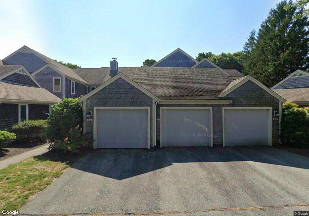
70 Kates Path Yarmouth Port, MA 02675
Yarmouth Port NeighborhoodEstimated Value: $451,813 - $576,000
2
Beds
2
Baths
1,108
Sq Ft
$453/Sq Ft
Est. Value
About This Home
This home is located at 70 Kates Path, Yarmouth Port, MA 02675 and is currently estimated at $502,453, approximately $453 per square foot. 70 Kates Path is a home located in Barnstable County with nearby schools including Dennis-Yarmouth Regional High School.
Ownership History
Date
Name
Owned For
Owner Type
Purchase Details
Closed on
Aug 31, 2005
Sold by
Muir Denise A and Muir Robert W
Bought by
Boucher Joy A and Lind Kristen A
Current Estimated Value
Purchase Details
Closed on
May 2, 1994
Sold by
Robbins Janet
Bought by
Muir Robert W and Muir Denise A
Home Financials for this Owner
Home Financials are based on the most recent Mortgage that was taken out on this home.
Original Mortgage
$99,950
Interest Rate
7.7%
Mortgage Type
Purchase Money Mortgage
Purchase Details
Closed on
Mar 18, 1993
Sold by
Kingsway Develop Corp
Bought by
Robbins Janet
Home Financials for this Owner
Home Financials are based on the most recent Mortgage that was taken out on this home.
Original Mortgage
$120,000
Interest Rate
7.75%
Mortgage Type
Purchase Money Mortgage
Purchase Details
Closed on
Sep 4, 1990
Sold by
The Green Co Inc
Bought by
Robbins Janet
Create a Home Valuation Report for This Property
The Home Valuation Report is an in-depth analysis detailing your home's value as well as a comparison with similar homes in the area
Home Values in the Area
Average Home Value in this Area
Purchase History
| Date | Buyer | Sale Price | Title Company |
|---|---|---|---|
| Boucher Joy A | $349,000 | -- | |
| Boucher Joy A | $349,000 | -- | |
| Muir Robert W | $142,655 | -- | |
| Robbins Janet | $176,400 | -- | |
| Robbins Janet | $155,000 | -- |
Source: Public Records
Mortgage History
| Date | Status | Borrower | Loan Amount |
|---|---|---|---|
| Previous Owner | Muir Robert W | $99,950 | |
| Previous Owner | Robbins Janet | $120,000 |
Source: Public Records
Tax History Compared to Growth
Tax History
| Year | Tax Paid | Tax Assessment Tax Assessment Total Assessment is a certain percentage of the fair market value that is determined by local assessors to be the total taxable value of land and additions on the property. | Land | Improvement |
|---|---|---|---|---|
| 2025 | $2,654 | $374,900 | $0 | $374,900 |
| 2024 | $2,966 | $401,900 | $0 | $401,900 |
| 2023 | $2,533 | $312,300 | $0 | $312,300 |
| 2022 | $2,738 | $298,300 | $0 | $298,300 |
| 2021 | $2,663 | $278,600 | $0 | $278,600 |
| 2020 | $2,688 | $268,800 | $0 | $268,800 |
| 2019 | $2,520 | $249,500 | $0 | $249,500 |
| 2018 | $2,368 | $230,100 | $0 | $230,100 |
| 2017 | $2,209 | $220,500 | $0 | $220,500 |
| 2016 | $2,104 | $210,800 | $0 | $210,800 |
| 2015 | $2,204 | $219,500 | $0 | $219,500 |
Source: Public Records
Map
Nearby Homes
- 64 Kates Path
- 34 Kates Path
- 34 Kates Path Unit 34
- 228 Kates Path
- 17 Kates Path Unit A
- 50 John Hall Cartway
- 50 John Hall Cartway Unit 50
- 42 John Hall Cartway Unit 42
- 43 Canterbury Rd
- 44 Stratford Ln
- 7 Forest Gate Unit 7
- 25 Oak Glen Village Unit 25
- 25 Oak Glen
- 30 W Woods
- 30 W Woods Cir Unit 30
- 2 Pine Grove
- 51 Bray Farm Rd N
- 86 Pompano Rd
- 6 Nimble Hill Dr
- 59 Main St Unit 19-2
- 72 Kates Path
- 68 Kates Path
- 66 Kates Path
- 62 Kates Path
- 60 Kates Path
- 58 Kates Path
- 56 Kates Path
- 54 Kates Path
- 50 Kates Path
- 62 Kate's Path Unit 62
- 60 Kate's Path Unit 60
- 52 Kates Path Unit FH
- 50 Kates Path Unit 50
- 50 Kates Path
- 56 Kate's Point Unit 56
- 56 Kates Path Unit FA
- 60 Kates Path Unit FB
- 66 Kates Path Unit 66
- 56 Kates Path Unit 56
- 68 Kates Path Unit FP