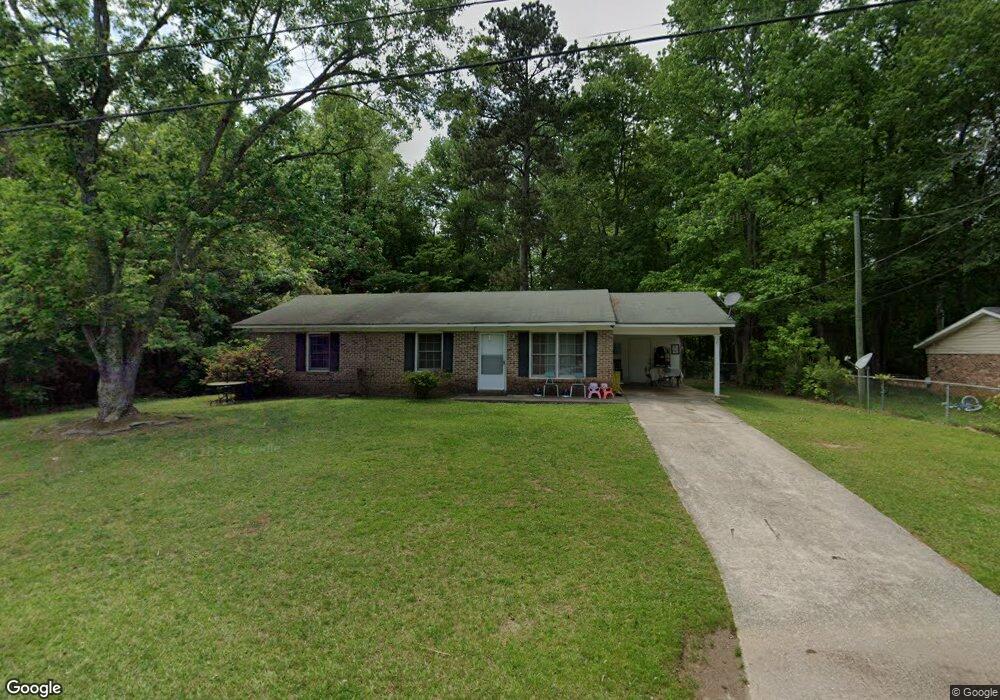
70 Knob Dr Carrollton, GA 30116
Estimated Value: $195,746 - $227,000
3
Beds
1
Bath
1,301
Sq Ft
$161/Sq Ft
Est. Value
About This Home
This home is located at 70 Knob Dr, Carrollton, GA 30116 and is currently estimated at $209,687, approximately $161 per square foot. 70 Knob Dr is a home located in Carroll County with nearby schools including Central Elementary School, Central Middle School, and Central High School.
Ownership History
Date
Name
Owned For
Owner Type
Purchase Details
Closed on
Apr 9, 2010
Sold by
Gillham Lee
Bought by
Wainwright William R
Current Estimated Value
Purchase Details
Closed on
Mar 5, 2010
Sold by
Visio Reo Ii Lp
Bought by
Gillham Lee
Purchase Details
Closed on
Jan 4, 2010
Sold by
Suntrust Mtg Inc
Bought by
Visio Reo Ii Limited Partnersh
Purchase Details
Closed on
Aug 4, 2009
Sold by
Ayers William J
Bought by
Suntrust Mortgage Inc
Purchase Details
Closed on
Jun 5, 2002
Sold by
Hodges
Bought by
Ayers William J
Purchase Details
Closed on
Apr 19, 1989
Bought by
Hodges
Create a Home Valuation Report for This Property
The Home Valuation Report is an in-depth analysis detailing your home's value as well as a comparison with similar homes in the area
Home Values in the Area
Average Home Value in this Area
Purchase History
| Date | Buyer | Sale Price | Title Company |
|---|---|---|---|
| Wainwright William R | $32,000 | -- | |
| Gillham Lee | $8,300 | -- | |
| Visio Reo Ii Limited Partnersh | $6,500 | -- | |
| Suntrust Mortgage Inc | $32,000 | -- | |
| Ayers William J | $61,700 | -- | |
| Hodges | $42,900 | -- |
Source: Public Records
Tax History Compared to Growth
Tax History
| Year | Tax Paid | Tax Assessment Tax Assessment Total Assessment is a certain percentage of the fair market value that is determined by local assessors to be the total taxable value of land and additions on the property. | Land | Improvement |
|---|---|---|---|---|
| 2024 | $1,395 | $61,686 | $5,000 | $56,686 |
| 2023 | $1,395 | $56,724 | $5,000 | $51,724 |
| 2022 | $1,166 | $46,493 | $5,000 | $41,493 |
| 2021 | $1,044 | $40,738 | $5,000 | $35,738 |
| 2020 | $935 | $36,425 | $5,000 | $31,425 |
| 2019 | $809 | $31,256 | $4,000 | $27,256 |
| 2018 | $616 | $23,440 | $4,000 | $19,440 |
| 2017 | $617 | $23,440 | $4,000 | $19,440 |
| 2016 | $618 | $23,440 | $4,000 | $19,440 |
| 2015 | $406 | $14,518 | $4,000 | $10,518 |
| 2014 | $370 | $13,187 | $4,000 | $9,187 |
Source: Public Records
Map
Nearby Homes
- 5 Knob Dr
- 680 Horsley Mill Rd
- 690 Horsley Mill Rd
- TRACT 8 Horsley Mill Rd
- 981 Horsley Mill Rd
- TRACT 9 Horsley Mill Rd
- 240 Knob Dr
- 103 Hilo Ct
- The Rosewood Plan at Oak Mountain View
- The Northview Plan at Oak Mountain View
- The Newburgh Plan at Oak Mountain View
- The Brookdale Plan at Oak Mountain View
- The Donovan Plan at Oak Mountain View
- The Rochester Plan at Oak Mountain View
- The Wendell Plan at Oak Mountain View
- The Carrollton Plan at Oak Mountain View
- 204 Pinehurst Way
- 971 Horsley Mill Rd
- 205 Turnberry Cir
- 214 Asher Dr