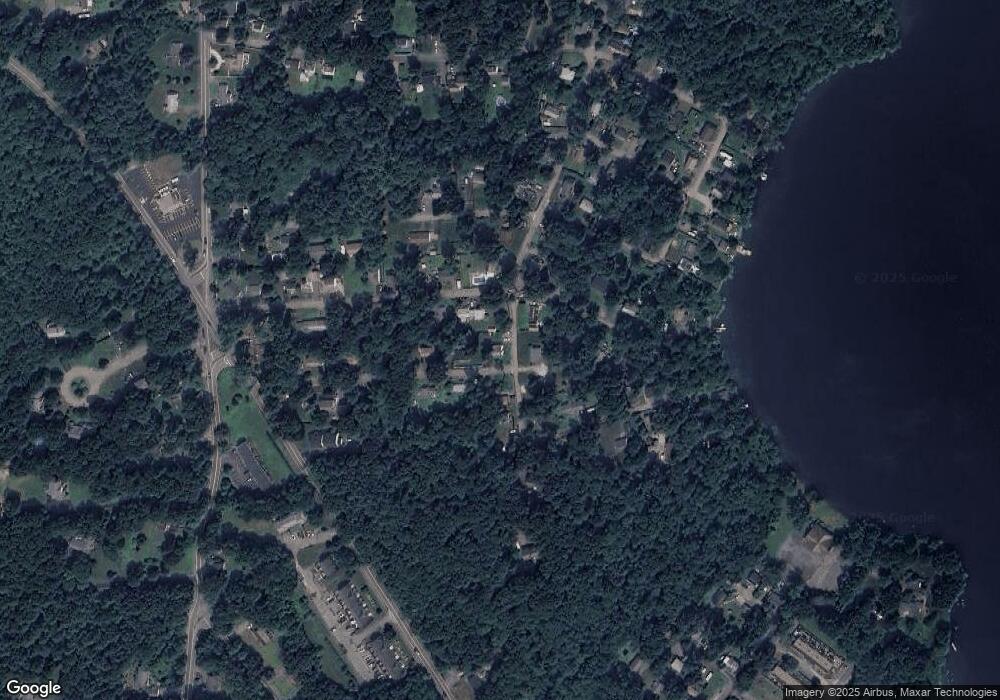
70 Loring Rd East Bridgewater, MA 02333
Estimated Value: $477,000 - $489,583
3
Beds
1
Bath
1,350
Sq Ft
$359/Sq Ft
Est. Value
About This Home
This home is located at 70 Loring Rd, East Bridgewater, MA 02333 and is currently estimated at $485,146, approximately $359 per square foot. 70 Loring Rd is a home located in Plymouth County with nearby schools including Central Elementary School, Gordon W Mitchell Middle School, and East Bridgewater Jr./Sr. High School.
Ownership History
Date
Name
Owned For
Owner Type
Purchase Details
Closed on
Apr 2, 2008
Sold by
Duncan Warren C
Bought by
Duncan Warren C and Brasil Roberto
Current Estimated Value
Home Financials for this Owner
Home Financials are based on the most recent Mortgage that was taken out on this home.
Original Mortgage
$175,000
Outstanding Balance
$112,748
Interest Rate
6.3%
Estimated Equity
$372,398
Create a Home Valuation Report for This Property
The Home Valuation Report is an in-depth analysis detailing your home's value as well as a comparison with similar homes in the area
Home Values in the Area
Average Home Value in this Area
Purchase History
| Date | Buyer | Sale Price | Title Company |
|---|---|---|---|
| Duncan Warren C | -- | -- |
Source: Public Records
Mortgage History
| Date | Status | Borrower | Loan Amount |
|---|---|---|---|
| Open | Duncan Warren C | $175,000 | |
| Previous Owner | Duncan Warren C | $125,000 | |
| Previous Owner | Duncan Warren C | $60,000 |
Source: Public Records
Tax History Compared to Growth
Tax History
| Year | Tax Paid | Tax Assessment Tax Assessment Total Assessment is a certain percentage of the fair market value that is determined by local assessors to be the total taxable value of land and additions on the property. | Land | Improvement |
|---|---|---|---|---|
| 2025 | $5,569 | $407,400 | $160,900 | $246,500 |
| 2024 | $5,362 | $387,400 | $147,000 | $240,400 |
| 2023 | $5,253 | $363,500 | $147,000 | $216,500 |
| 2022 | $5,061 | $324,400 | $133,700 | $190,700 |
| 2021 | $4,898 | $287,300 | $128,500 | $158,800 |
| 2020 | $4,812 | $278,300 | $123,500 | $154,800 |
| 2019 | $4,666 | $265,700 | $118,100 | $147,600 |
| 2018 | $4,440 | $247,200 | $118,100 | $129,100 |
| 2017 | $4,311 | $235,600 | $112,600 | $123,000 |
| 2016 | $4,193 | $230,900 | $112,600 | $118,300 |
| 2015 | $3,941 | $221,900 | $105,900 | $116,000 |
| 2014 | $3,785 | $217,900 | $103,700 | $114,200 |
Source: Public Records
Map
Nearby Homes
- 29 Hayes Rd
- 2 Edgewood Cir
- 73 Trailwood Dr
- 94 Pond St
- 2045 Washington St
- 24 High Pond Dr
- 1993 Washington St
- 67 Country Dr
- 71 Stonegate Dr
- 49 Country Dr
- 51 Stonegate Dr
- 114 Plain St
- 25 Dominique Dr
- 22 Hudson St
- 26 Meadowbrook Dr
- 1141 Plymouth St
- 587 Bridge St
- 0 Three Rivers Dr
- 74 Magnolia Way
- 12 Bridge St
