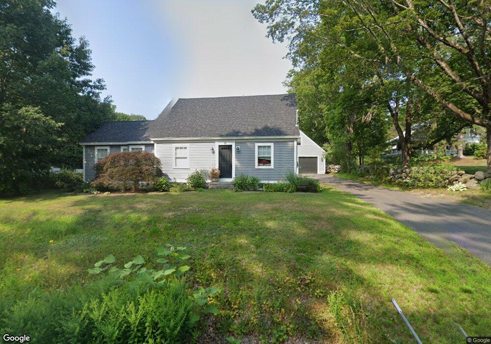
70 Middleton Rd Wolfeboro, NH 03894
Estimated Value: $421,371 - $507,000
3
Beds
1
Bath
1,905
Sq Ft
$239/Sq Ft
Est. Value
About This Home
This home is located at 70 Middleton Rd, Wolfeboro, NH 03894 and is currently estimated at $456,093, approximately $239 per square foot. 70 Middleton Rd is a home located in Carroll County with nearby schools including Crescent Lake School, Carpenter Elementary School, and Kingswood Regional Middle School.
Ownership History
Date
Name
Owned For
Owner Type
Purchase Details
Closed on
Sep 1, 2009
Sold by
May Mcbride Rt
Bought by
Ortisi William R and Ortisi Shawna M
Current Estimated Value
Home Financials for this Owner
Home Financials are based on the most recent Mortgage that was taken out on this home.
Original Mortgage
$183,673
Interest Rate
5.17%
Mortgage Type
Purchase Money Mortgage
Create a Home Valuation Report for This Property
The Home Valuation Report is an in-depth analysis detailing your home's value as well as a comparison with similar homes in the area
Home Values in the Area
Average Home Value in this Area
Purchase History
| Date | Buyer | Sale Price | Title Company |
|---|---|---|---|
| Ortisi William R | $165,000 | -- |
Source: Public Records
Mortgage History
| Date | Status | Borrower | Loan Amount |
|---|---|---|---|
| Open | Ortisi William R | $182,642 | |
| Closed | Ortisi William R | $183,673 |
Source: Public Records
Tax History
| Year | Tax Paid | Tax Assessment Tax Assessment Total Assessment is a certain percentage of the fair market value that is determined by local assessors to be the total taxable value of land and additions on the property. | Land | Improvement |
|---|---|---|---|---|
| 2024 | $4,274 | $268,800 | $76,700 | $192,100 |
| 2023 | $3,862 | $262,900 | $76,700 | $186,200 |
| 2022 | $3,476 | $262,900 | $76,700 | $186,200 |
| 2021 | $3,551 | $259,800 | $76,700 | $183,100 |
| 2020 | $3,366 | $258,700 | $76,700 | $182,000 |
| 2019 | $2,997 | $189,200 | $64,600 | $124,600 |
| 2018 | $3,064 | $193,900 | $64,600 | $129,300 |
| 2017 | $2,753 | $183,800 | $64,600 | $119,200 |
| 2016 | $2,689 | $183,800 | $64,600 | $119,200 |
| 2015 | $2,521 | $180,700 | $61,500 | $119,200 |
| 2014 | $2,200 | $169,100 | $51,700 | $117,400 |
| 2013 | $2,137 | $166,600 | $51,700 | $114,900 |
Source: Public Records
Map
Nearby Homes
- 116 Middleton Rd
- 27 Abenaukee Dr
- 00 Winnipesaukee Dr
- 26-14 Winnipesaukee Dr
- 11 Mountain West Dr
- 47 Stage Coach Rd
- 375 S Main St
- 337 S Main St Unit Interval week 4 Janu
- 42 Point Breeze Rd
- 26 Orchards Rd
- 117 Hayes Rd
- 330 Kings Hwy
- 103 Clark Rd Unit 7
- 42 Kings Pine Rd
- 31 Pine St Unit 84
- 0 Interlaken Dr Unit 55
- 00 Innsbruck Dr Unit 121
- 000 Garmish Dr Unit 143
- 000 Garmish Dr
- 4 Olsen Ln
- 76 Middleton Rd
- 60 Middleton Rd
- 61 Middleton Rd
- 56 Middleton Rd
- 44 Corson Way
- 55 Middleton Rd
- 52 Middleton Rd
- 18 Rusty Ln
- 11 Rusty Ln
- 2 Sleepy Hollow Rd
- 2 Sleepy Hollow
- 48 Corson Way
- 21 Sleepy Hollow Rd
- 23 Sleepy Hollow Rd
- 93 Middleton Rd
- 227 Camp School Rd
- 233 Camp School Rd
- 79 Middleton Rd
- 44 Middleton Rd
- 19 Sleepy Hollow Rd
Your Personal Tour Guide
Ask me questions while you tour the home.