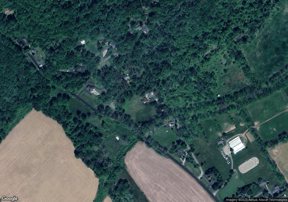
70 Mill Brook Road70 Franklin Twp., NJ 07882
Estimated Value: $571,402 - $650,000
--
Bed
2
Baths
2,304
Sq Ft
$265/Sq Ft
Est. Value
About This Home
This home is located at 70 Mill Brook Road70, Franklin Twp., NJ 07882 and is currently estimated at $611,101, approximately $265 per square foot. 70 Mill Brook Road70 is a home located in Warren County with nearby schools including Brass Castle School, Port Colden Elementary School, and Warren Hills Regional Middle School.
Ownership History
Date
Name
Owned For
Owner Type
Purchase Details
Closed on
May 24, 2021
Sold by
Wasser Douglas L and Wasser Diane
Bought by
Reilly Terence and Reilly Suzanne
Current Estimated Value
Home Financials for this Owner
Home Financials are based on the most recent Mortgage that was taken out on this home.
Original Mortgage
$325,000
Outstanding Balance
$293,605
Interest Rate
2.9%
Mortgage Type
New Conventional
Estimated Equity
$317,496
Purchase Details
Closed on
Aug 6, 1986
Bought by
Wasser Douglas L
Create a Home Valuation Report for This Property
The Home Valuation Report is an in-depth analysis detailing your home's value as well as a comparison with similar homes in the area
Home Values in the Area
Average Home Value in this Area
Purchase History
| Date | Buyer | Sale Price | Title Company |
|---|---|---|---|
| Reilly Terence | $415,000 | Pls Title & Settlement | |
| Reilly Terence | $415,000 | Old Republic Title | |
| Wasser Douglas L | $129,000 | -- |
Source: Public Records
Mortgage History
| Date | Status | Borrower | Loan Amount |
|---|---|---|---|
| Open | Reilly Terence | $325,000 | |
| Closed | Reilly Terence | $325,000 |
Source: Public Records
Tax History Compared to Growth
Tax History
| Year | Tax Paid | Tax Assessment Tax Assessment Total Assessment is a certain percentage of the fair market value that is determined by local assessors to be the total taxable value of land and additions on the property. | Land | Improvement |
|---|---|---|---|---|
| 2025 | $11,335 | $349,300 | $120,600 | $228,700 |
| 2024 | $11,087 | $349,300 | $120,600 | $228,700 |
| 2023 | $11,069 | $349,300 | $120,600 | $228,700 |
| 2022 | $11,069 | $349,300 | $120,600 | $228,700 |
| 2021 | $10,241 | $340,700 | $120,600 | $220,100 |
| 2020 | $10,228 | $340,700 | $120,600 | $220,100 |
| 2019 | $10,040 | $340,700 | $120,600 | $220,100 |
| 2018 | $10,040 | $340,700 | $120,600 | $220,100 |
| 2017 | $10,282 | $340,700 | $120,600 | $220,100 |
| 2016 | $9,863 | $340,700 | $120,600 | $220,100 |
| 2015 | $10,051 | $340,700 | $120,600 | $220,100 |
| 2014 | $10,524 | $368,100 | $121,600 | $246,500 |
Source: Public Records
Map
Nearby Homes
- 11 Norfolk Ave
- 13 Alvin Sloan Ave
- 36 Lambert St
- 225 W Washington Ave
- 80 Brass Castle Rd
- 91 Lenape Trail
- 45 Kinnaman Ave
- 0 Reservoir Rd Unit 3984463
- 19 Marble St
- 40 Kinnaman Ave
- 79 W Stewart St
- 45 Mechanic St
- 63 W Warren St
- 40 Carlton Ave
- 3 Hann Terrace
- 21 Plane Hill Rd
- 74 S Lincoln Ave
- 49 Little Philadelphia Rd
- 237 Cemetery Hill Rd
- 149 S Lincoln Ave
- 109 Little Phil Rd
- 101 Half Way House Road101
- 14 Brass Castle Rd
- 1046 Harm Brass Castle Rd
- 47 Brass Castle Rd
- 328 W Washington Ave
- 24 Brass Castle Rd
- 340 W Washington Ave
- 360 State Route 57 W
- 337 Washington Gardens
- 337 W Washington Ave Unit A
- 337 W Washington Ave
- 333 W Washington Ave
- 11 Christine Place
- 7 Christine Place
- 3 Christine Place
- 329 W Washington Ave
- 325 W Washington Ave
- 325 W Washington Ave Unit 1
- 324 W Washington Ave
