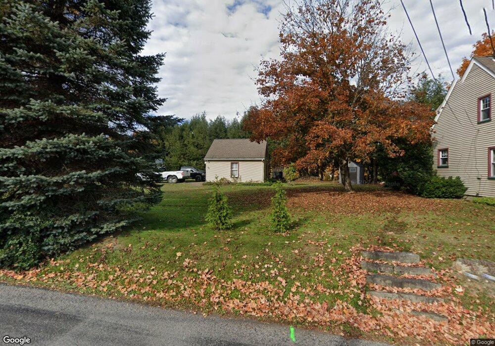
70 Mohawk Ave Warren, PA 16365
Estimated Value: $158,399 - $199,000
3
Beds
1
Bath
1,520
Sq Ft
$118/Sq Ft
Est. Value
About This Home
This home is located at 70 Mohawk Ave, Warren, PA 16365 and is currently estimated at $179,600, approximately $118 per square foot. 70 Mohawk Ave is a home located in Warren County with nearby schools including Warren Area Elementary Center, Beaty-Warren Middle School, and Warren Area High School.
Ownership History
Date
Name
Owned For
Owner Type
Purchase Details
Closed on
Aug 1, 2018
Sold by
Shaffer Melissa S and Shaffer Arthur
Bought by
Austin Daniel A
Current Estimated Value
Home Financials for this Owner
Home Financials are based on the most recent Mortgage that was taken out on this home.
Original Mortgage
$124,160
Outstanding Balance
$107,151
Interest Rate
4.5%
Mortgage Type
New Conventional
Estimated Equity
$72,449
Purchase Details
Closed on
Jul 26, 2012
Bought by
Sibits Melissa S
Create a Home Valuation Report for This Property
The Home Valuation Report is an in-depth analysis detailing your home's value as well as a comparison with similar homes in the area
Purchase History
| Date | Buyer | Sale Price | Title Company |
|---|---|---|---|
| Austin Daniel A | $128,000 | Attorney Only | |
| Sibits Melissa S | $102,000 | -- |
Source: Public Records
Mortgage History
| Date | Status | Borrower | Loan Amount |
|---|---|---|---|
| Open | Austin Daniel A | $124,160 |
Source: Public Records
Tax History
| Year | Tax Paid | Tax Assessment Tax Assessment Total Assessment is a certain percentage of the fair market value that is determined by local assessors to be the total taxable value of land and additions on the property. | Land | Improvement |
|---|---|---|---|---|
| 2025 | $2,735 | $29,258 | $7,320 | $21,938 |
| 2024 | $2,661 | $29,258 | $7,320 | $21,938 |
| 2023 | $2,515 | $29,258 | $7,320 | $21,938 |
| 2022 | $2,489 | $29,258 | $7,320 | $21,938 |
| 2021 | $2,475 | $29,258 | $7,320 | $21,938 |
| 2020 | $2,446 | $29,258 | $7,320 | $21,938 |
| 2019 | $2,446 | $29,258 | $7,320 | $21,938 |
| 2018 | $2,438 | $29,258 | $7,320 | $21,938 |
| 2017 | $2,340 | $29,258 | $7,320 | $21,938 |
| 2016 | $2,296 | $29,258 | $0 | $0 |
| 2015 | -- | $29,258 | $0 | $0 |
| 2014 | -- | $29,258 | $0 | $0 |
| 2013 | -- | $29,258 | $7,320 | $21,938 |
Source: Public Records
Map
Nearby Homes
- 28 Mohawk Ave
- 79 Mohawk Ave
- 65 Mohawk Ave
- 73 Mohawk Ave
- 36 Pleasant Dr
- 14 Broadhead St
- 35 Pleasant Dr
- 10 Pleasant Dr
- 22 Broadhead St
- 132 Mohawk Ave
- 49 Pleasant Dr
- 121 Mohawk Ave
- 53 Pleasant Dr
- 532 Oakland Dr
- 480 Crescent Park
- 149 Mohawk Ave
- 522 Oakland Dr
- 172 Mohawk Ave
- 57 Pleasant Dr
- 536 Oakland Dr
Your Personal Tour Guide
Ask me questions while you tour the home.