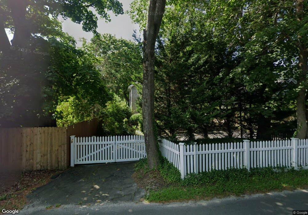
70 Montauk Hwy Quogue, NY 11959
Estimated Value: $938,000 - $1,597,000
3
Beds
2
Baths
1,484
Sq Ft
$796/Sq Ft
Est. Value
About This Home
This home is located at 70 Montauk Hwy, Quogue, NY 11959 and is currently estimated at $1,181,889, approximately $796 per square foot. 70 Montauk Hwy is a home.
Ownership History
Date
Name
Owned For
Owner Type
Purchase Details
Closed on
Aug 13, 2007
Sold by
Salvi Anthony D
Bought by
Lockwood Andrew and Lockwood Christine
Current Estimated Value
Purchase Details
Closed on
Oct 5, 2004
Sold by
C & C Partners Inc
Bought by
Salvi Anthony D
Purchase Details
Closed on
Nov 15, 2000
Sold by
Claps Vincent M and Ciletti Alfred M
Bought by
C & C Partners Inc
Purchase Details
Closed on
Feb 24, 1999
Sold by
Turnbull Thomas D and Turnbull Victoria H
Bought by
Claps Vincent M and Ciletti Alfred M
Create a Home Valuation Report for This Property
The Home Valuation Report is an in-depth analysis detailing your home's value as well as a comparison with similar homes in the area
Home Values in the Area
Average Home Value in this Area
Purchase History
| Date | Buyer | Sale Price | Title Company |
|---|---|---|---|
| Lockwood Andrew | $521,000 | Janice Snead | |
| Lockwood Andrew | -- | Janice Snead | |
| Salvi Anthony D | $485,000 | Joseph A Salvi | |
| C & C Partners Inc | -- | -- | |
| Claps Vincent M | $185,000 | -- |
Source: Public Records
Tax History Compared to Growth
Tax History
| Year | Tax Paid | Tax Assessment Tax Assessment Total Assessment is a certain percentage of the fair market value that is determined by local assessors to be the total taxable value of land and additions on the property. | Land | Improvement |
|---|---|---|---|---|
| 2024 | $1,874 | $451,300 | $283,000 | $168,300 |
| 2023 | $897 | $451,300 | $283,000 | $168,300 |
| 2022 | $938 | $451,300 | $283,000 | $168,300 |
| 2021 | $882 | $480,000 | $283,000 | $197,000 |
| 2020 | $2,170 | $480,000 | $283,000 | $197,000 |
| 2019 | $2,180 | $0 | $0 | $0 |
| 2018 | $3,490 | $440,400 | $253,200 | $187,200 |
| 2017 | $1,209 | $440,400 | $253,200 | $187,200 |
| 2016 | $1,300 | $440,400 | $253,200 | $187,200 |
| 2015 | -- | $440,400 | $253,200 | $187,200 |
| 2014 | -- | $440,400 | $253,200 | $187,200 |
Source: Public Records
Map
Nearby Homes
- 69 Old Depot Rd
- 8 Hidden Path
- 37 Foster Rd
- 39A Foster Rd
- 107 Jessup Ave
- 25 Jessups Landing Ct E
- 39 & 41 Foster Rd
- 5 Laurents Way
- 102 & 92 Dune Rd
- 1 Acorn Path
- 4 Barker Ln
- 149 Montauk Hwy
- 125 Montauk Hwy
- 5A/5B Jessup Ln
- 40 Quaquanantuck Ln
- 16 Elizabeth Ln
- 19 Quaquanantuck Ln
- 15 Elizabeth Ln
- 3 Arbutus Rd
- 29 Quantuck Bay Ln
- 72 Montauk Hwy
- 72 Montauk Hwy
- 68 Montauk Hwy
- 71 Montauk Hwy
- 67 Montauk Hwy
- 64 Montauk Hwy
- 75 Montauk Hwy
- 65 Montauk Hwy
- 77 Old Depot Rd
- 15 Edgewood Rd
- 74 Montauk Hwy
- 73 Old Depot Rd
- 9 Edgewood Rd
- 61 Montauk Hwy
- 58 Montauk Hwy
- 79 Old Depot Rd
- 67A Montauk Hwy
- 73 Montauk Hwy
- 21 Edgewood Rd
- 25 Edgewood Rd