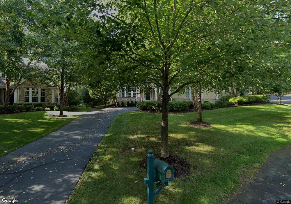
70 Morgan Ln Unit 5C Basking Ridge, NJ 07920
Estimated Value: $1,209,000 - $1,739,000
--
Bed
--
Bath
4,337
Sq Ft
$354/Sq Ft
Est. Value
About This Home
This home is located at 70 Morgan Ln Unit 5C, Basking Ridge, NJ 07920 and is currently estimated at $1,536,290, approximately $354 per square foot. 70 Morgan Ln Unit 5C is a home located in Somerset County with nearby schools including Mount Prospect Elementary School, William Annin Middle School, and Ridge High School.
Ownership History
Date
Name
Owned For
Owner Type
Purchase Details
Closed on
Jul 15, 2010
Sold by
Hart James C and Hart Christie L
Bought by
Rosenberg Michael R and Rosenberg Carol
Current Estimated Value
Purchase Details
Closed on
Feb 16, 2004
Sold by
Highland Greens Llc
Bought by
Hart James C and Hart Christie L
Home Financials for this Owner
Home Financials are based on the most recent Mortgage that was taken out on this home.
Original Mortgage
$750,000
Interest Rate
5.83%
Create a Home Valuation Report for This Property
The Home Valuation Report is an in-depth analysis detailing your home's value as well as a comparison with similar homes in the area
Home Values in the Area
Average Home Value in this Area
Purchase History
| Date | Buyer | Sale Price | Title Company |
|---|---|---|---|
| Rosenberg Michael R | $1,575,000 | Commonwealth Land Title Insu | |
| Hart James C | $1,399,892 | -- |
Source: Public Records
Mortgage History
| Date | Status | Borrower | Loan Amount |
|---|---|---|---|
| Previous Owner | Hart James C | $750,000 |
Source: Public Records
Tax History Compared to Growth
Tax History
| Year | Tax Paid | Tax Assessment Tax Assessment Total Assessment is a certain percentage of the fair market value that is determined by local assessors to be the total taxable value of land and additions on the property. | Land | Improvement |
|---|---|---|---|---|
| 2025 | $21,698 | $1,302,300 | $395,000 | $907,300 |
| 2024 | $21,698 | $1,219,700 | $395,000 | $824,700 |
| 2023 | $21,996 | $1,166,300 | $395,000 | $771,300 |
| 2022 | $22,045 | $1,096,200 | $395,000 | $701,200 |
| 2021 | $24,160 | $1,145,000 | $390,000 | $755,000 |
| 2020 | $23,759 | $1,134,600 | $410,000 | $724,600 |
| 2019 | $23,413 | $1,151,100 | $410,000 | $741,100 |
| 2018 | $23,080 | $1,151,100 | $410,000 | $741,100 |
| 2017 | $23,066 | $1,159,700 | $410,000 | $749,700 |
| 2016 | $23,176 | $1,187,900 | $430,000 | $757,900 |
| 2015 | $24,006 | $1,252,900 | $440,000 | $812,900 |
| 2014 | $24,570 | $1,270,400 | $440,000 | $830,400 |
Source: Public Records
Map
Nearby Homes
- 49 Liberty Corner Rd
- 41 Dickinson Rd
- 213 Liberty Corner Rd
- 167 Douglas Rd
- 234 Liberty Corner Rd
- 14 Hadley Ct
- 32 Mayflower Dr Unit E1
- 23 Hansom Rd
- 27 Parkwood Ln
- 12 Hansom Rd
- 4 Hansom Rd
- 25 Stevens Ct
- 10 Morgan Ct
- 22 Morgan Ct
- 39 Academy Ct
- 14 Sussex Ct
- 971 Washington Valley Rd
- 19 Gatehouse Rd
- 174 Liberty Corner Rd
- 2 Berkley Ln
- 72 Morgan Ln
- 68 Morgan Ln
- 66 Morgan Ln
- 74 Morgan Ln
- 76 Morgan Ln Unit 6B
- 64 Morgan Ln
- 78 Morgan Ln Unit 7A
- 80 Morgan Ln Unit 7C
- 62 Morgan Ln Unit 3B
- 60 Morgan Ln
- 58 Morgan Ln
- 56 Morgan Ln
- 54 Morgan Ln
- 43 Royal Oak Dr
- 33 Royal Oak Dr
- 40 Royal Oak Dr
- 19 Royal Oak Dr
- 44 Royal Oak Dr
- 36 Royal Oak Dr
- 303 Mount Prospect Rd