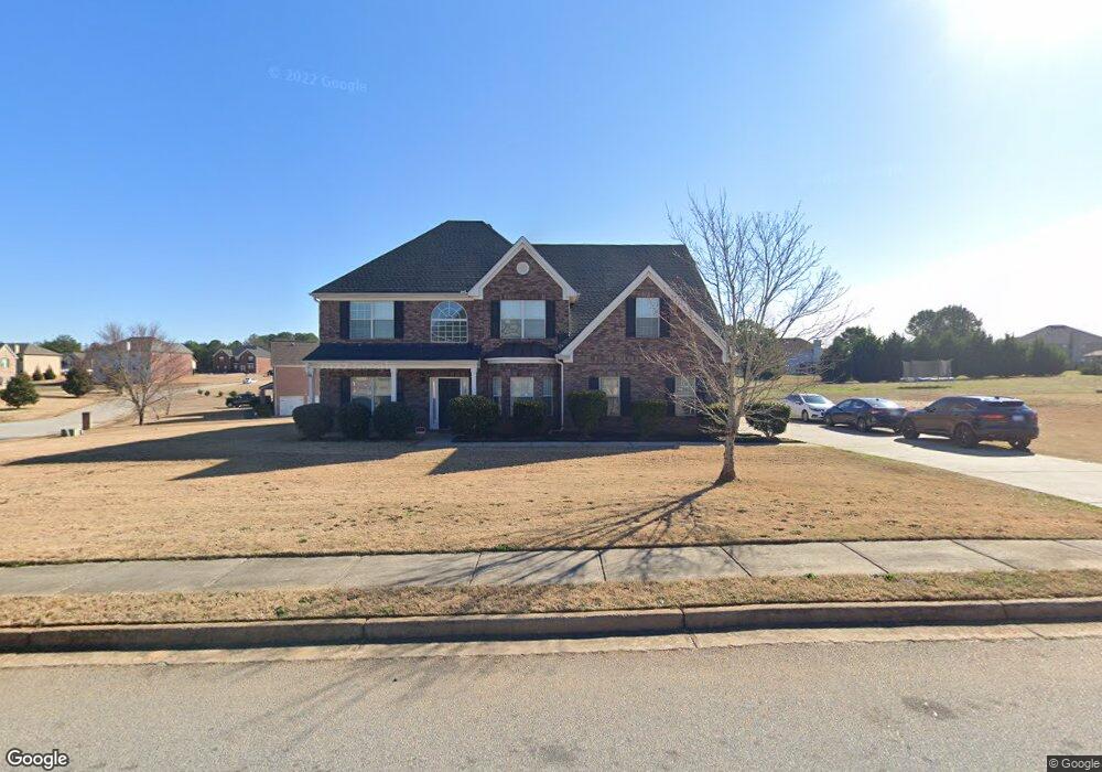
70 Muirfield Dr Covington, GA 30016
Estimated Value: $435,781 - $514,000
5
Beds
3
Baths
4,212
Sq Ft
$113/Sq Ft
Est. Value
About This Home
This home is located at 70 Muirfield Dr, Covington, GA 30016 and is currently estimated at $477,445, approximately $113 per square foot. 70 Muirfield Dr is a home located in Newton County with nearby schools including Livingston Elementary School, Liberty Middle School, and Alcovy High School.
Ownership History
Date
Name
Owned For
Owner Type
Purchase Details
Closed on
Jul 30, 2019
Sold by
Mayo Johnny Warren
Bought by
Benford Shamaley A
Current Estimated Value
Home Financials for this Owner
Home Financials are based on the most recent Mortgage that was taken out on this home.
Original Mortgage
$235,653
Outstanding Balance
$208,135
Interest Rate
4.12%
Mortgage Type
FHA
Estimated Equity
$269,310
Purchase Details
Closed on
Dec 15, 2009
Sold by
Franklin Builders Inc
Bought by
Mayo Johnny and Mayo Janet
Home Financials for this Owner
Home Financials are based on the most recent Mortgage that was taken out on this home.
Original Mortgage
$213,000
Interest Rate
5.01%
Mortgage Type
VA
Create a Home Valuation Report for This Property
The Home Valuation Report is an in-depth analysis detailing your home's value as well as a comparison with similar homes in the area
Home Values in the Area
Average Home Value in this Area
Purchase History
| Date | Buyer | Sale Price | Title Company |
|---|---|---|---|
| Benford Shamaley A | $240,000 | -- | |
| Mayo Johnny | $213,000 | -- |
Source: Public Records
Mortgage History
| Date | Status | Borrower | Loan Amount |
|---|---|---|---|
| Open | Benford Shamaley A | $235,653 | |
| Previous Owner | Mayo Johnny | $213,000 |
Source: Public Records
Tax History Compared to Growth
Tax History
| Year | Tax Paid | Tax Assessment Tax Assessment Total Assessment is a certain percentage of the fair market value that is determined by local assessors to be the total taxable value of land and additions on the property. | Land | Improvement |
|---|---|---|---|---|
| 2024 | $3,806 | $151,760 | $25,200 | $126,560 |
| 2023 | $3,660 | $136,560 | $9,600 | $126,960 |
| 2022 | $2,670 | $100,080 | $9,600 | $90,480 |
| 2021 | $3,264 | $109,560 | $9,600 | $99,960 |
| 2020 | $3,043 | $92,720 | $9,600 | $83,120 |
| 2019 | $621 | $102,120 | $9,600 | $92,520 |
| 2018 | $641 | $98,040 | $11,200 | $86,840 |
| 2017 | $919 | $102,360 | $11,200 | $91,160 |
| 2016 | $638 | $90,640 | $5,600 | $85,040 |
| 2015 | $749 | $90,600 | $5,600 | $85,000 |
| 2014 | $180 | $71,120 | $0 | $0 |
Source: Public Records
Map
Nearby Homes
- 66 Ellis Trail
- 15 Glen Echo Dr
- 35 Green Hill Ct
- 335 Glen Echo Dr
- 110 Collingwood Landing
- 245 Belmont Trail
- 230 Belmont Trail
- 40 Belmont Cir Unit 2
- 455 Bethany Rd
- 70 Cowan Ridge
- 30 Laurel Way
- 25 Castlehill Ct
- 230 Laurel Way
- 190 Oak Hill Cir
- 270 Wellbrook Dr
- 624 Bethany Rd
- 472 Oak Hill Rd
- 135 Lumby Ln
- 75 Oak Hill Dr
- 90 Muirfield Dr
- 60 Muirfield Dr
- 75 Muirfield Dr
- 65 Muirfield Dr
- 65 Muirfield Dr
- 65 Muirfield Dr Unit 65
- 95 Muirfield Dr
- 50 Muirfield Dr
- 55 Muirfield Dr
- 75 Tanglewood Dr
- 85 Muirfield Dr
- 65 Tanglewood Dr
- 105 Muirfield Dr
- 55 Tanglewood Dr Unit 59
- 55 Tanglewood Dr
- 120 Muirfield Dr
- 0 Muirfield Dr Unit 7519961
- 0 Muirfield Dr Unit 3062836
- 0 Hwy 213
- 45 Muirfield Dr