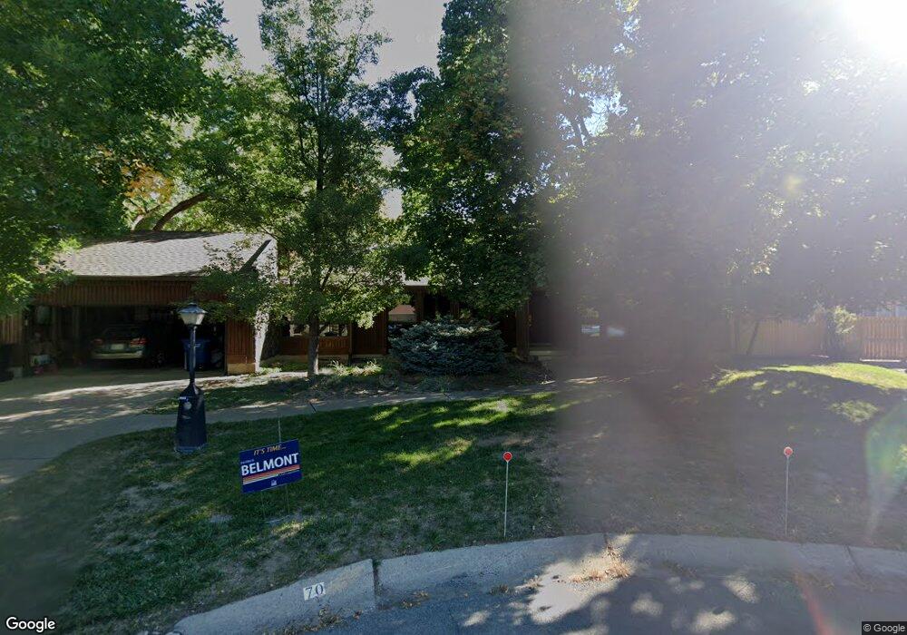
70 N 1220 E Logan, UT 84321
Wilson NeighborhoodEstimated Value: $592,000 - $625,817
Studio
--
Bath
1,904
Sq Ft
$320/Sq Ft
Est. Value
About This Home
This home is located at 70 N 1220 E, Logan, UT 84321 and is currently estimated at $608,454, approximately $319 per square foot. 70 N 1220 E is a home with nearby schools including Wilson School, Mount Logan Middle School, and Logan High School.
Create a Home Valuation Report for This Property
The Home Valuation Report is an in-depth analysis detailing your home's value as well as a comparison with similar homes in the area
Home Values in the Area
Average Home Value in this Area
Tax History
| Year | Tax Paid | Tax Assessment Tax Assessment Total Assessment is a certain percentage of the fair market value that is determined by local assessors to be the total taxable value of land and additions on the property. | Land | Improvement |
|---|---|---|---|---|
| 2025 | $2,820 | $364,675 | $0 | $0 |
| 2023 | $2,858 | $341,240 | $0 | $0 |
| 2022 | $2,659 | $296,415 | $0 | $0 |
| 2021 | $250 | $431,300 | $72,500 | $358,800 |
| 2020 | $2,396 | $371,500 | $72,500 | $299,000 |
| 2019 | $2,250 | $333,780 | $72,500 | $261,280 |
| 2018 | $2,170 | $293,924 | $72,500 | $221,424 |
| 2017 | $2,003 | $143,385 | $0 | $0 |
| 2016 | $2,076 | $143,385 | $0 | $0 |
| 2015 | $2,079 | $143,385 | $0 | $0 |
| 2014 | $1,592 | $121,465 | $0 | $0 |
| 2013 | -- | $121,465 | $0 | $0 |
Source: Public Records
Map
Nearby Homes
- 1374 E 260 N
- 128 S 1170 E
- 1387 E 260 N
- 1034 Thrushwood Dr
- 1147 Eastridge Dr
- 1045 Fox Farm Rd
- 74 Canterbury Cir
- 1164 E Mountain Rd
- 147 Winding Way Unit 50
- 28 River Pointe Dr
- 1535 Sumac Dr
- 1647 E Quail Canyon Dr
- 70 River Pointe Dr
- 2758 N Canyon Cove Dr
- 2738 N Canyon Cove Dr
- 684 Apple Dr
- 45 River Circle Dr
- 664 E Center St
- 1374 Maple Dr
- 622 Canyon Rd
Your Personal Tour Guide
Ask me questions while you tour the home.