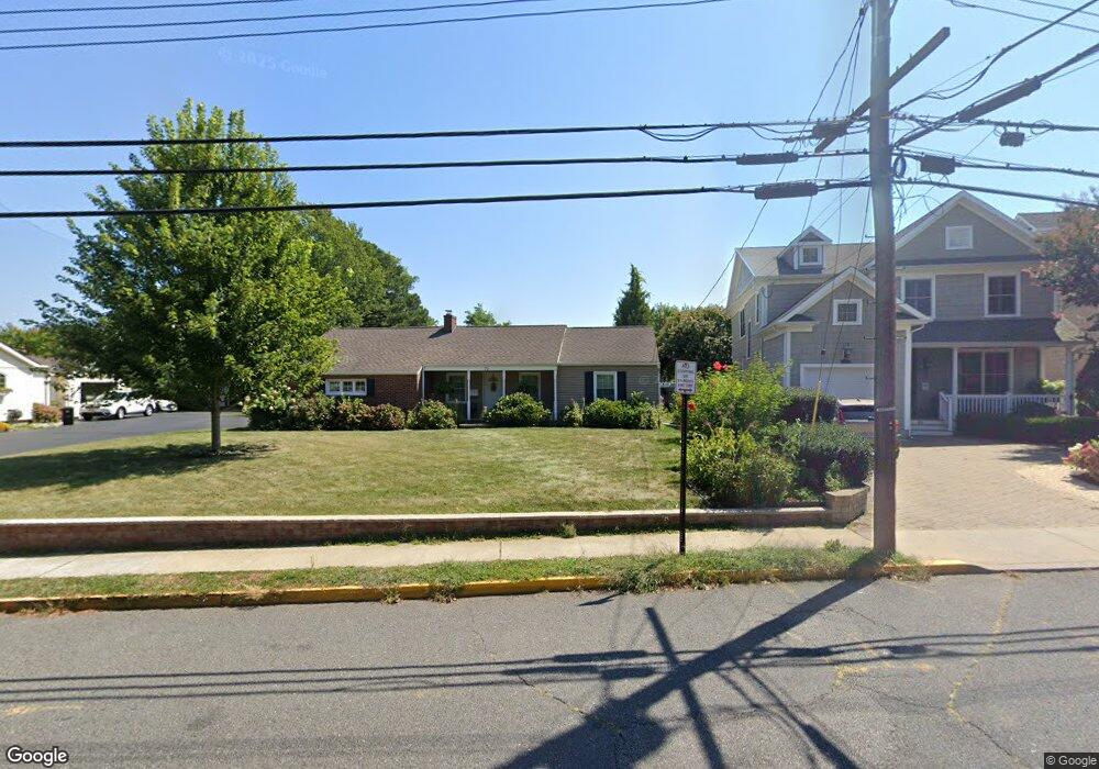
70 N Main St Manasquan, NJ 08736
Estimated Value: $946,000 - $1,206,000
3
Beds
2
Baths
1,869
Sq Ft
$567/Sq Ft
Est. Value
About This Home
This home is located at 70 N Main St, Manasquan, NJ 08736 and is currently estimated at $1,059,405, approximately $566 per square foot. 70 N Main St is a home located in Monmouth County with nearby schools including Manasquan Elementary School, Manasquan High School, and The Brookside School.
Ownership History
Date
Name
Owned For
Owner Type
Purchase Details
Closed on
Feb 28, 2025
Sold by
Crane Catherine L and Crane Michael L
Bought by
Crane Irrevocable Family Trust and Crane
Current Estimated Value
Purchase Details
Closed on
Feb 18, 2008
Sold by
Crane Catherine L
Bought by
Crane Catherine L and Crane Michael L
Purchase Details
Closed on
Aug 13, 2007
Sold by
Petersen Stacey and Dorothy J Jones Irrevocable Tr
Bought by
Crane Catherine L
Create a Home Valuation Report for This Property
The Home Valuation Report is an in-depth analysis detailing your home's value as well as a comparison with similar homes in the area
Home Values in the Area
Average Home Value in this Area
Purchase History
| Date | Buyer | Sale Price | Title Company |
|---|---|---|---|
| Crane Irrevocable Family Trust | -- | None Listed On Document | |
| Crane Catherine L | -- | None Available | |
| Crane Catherine L | -- | None Available |
Source: Public Records
Tax History Compared to Growth
Tax History
| Year | Tax Paid | Tax Assessment Tax Assessment Total Assessment is a certain percentage of the fair market value that is determined by local assessors to be the total taxable value of land and additions on the property. | Land | Improvement |
|---|---|---|---|---|
| 2025 | $8,902 | $500,700 | $339,500 | $161,200 |
| 2024 | $8,567 | $500,700 | $339,500 | $161,200 |
| 2023 | $8,567 | $500,700 | $339,500 | $161,200 |
| 2022 | $7,496 | $500,700 | $339,500 | $161,200 |
| 2021 | $7,496 | $500,700 | $339,500 | $161,200 |
| 2020 | $8,131 | $500,700 | $339,500 | $161,200 |
| 2019 | $7,826 | $500,700 | $339,500 | $161,200 |
| 2018 | $7,651 | $500,700 | $339,500 | $161,200 |
| 2017 | $7,360 | $500,700 | $339,500 | $161,200 |
| 2016 | $7,165 | $500,700 | $339,500 | $161,200 |
| 2015 | $6,596 | $400,600 | $230,900 | $169,700 |
| 2014 | $6,704 | $407,400 | $237,600 | $169,800 |
Source: Public Records
Map
Nearby Homes
- 15 Spruce Ave
- 20 Old Squan Rd
- 22 Woodland Ave
- 34 Broad St Unit 306
- 2253 Wagner Ln
- 722 Boston Blvd
- 2311 Camden Ave
- 34 Gertrude Place
- 534 Washington Blvd Unit 6
- 80 Stockton Lake Blvd
- 708 New York Blvd
- 2174 Begonia Ave
- 116 Curtis Ave
- 504 Crescent Pkwy
- 507 Crescent Pkwy
- 409 Sea Girt Ave
- 1215 Church St
- 802 4th Ave
- 130 Union Ave
- 300 Washington Blvd
- 66 N Main St
- 76 N Main St
- 12 Elizabeth Ave
- 16 Elizabeth Ave
- 75 N Main St
- 75 N Main St Unit 15
- 75 N Main St Unit 2
- 75 N Main St Unit 16
- 75 N Main St Unit 11
- 75 N Main St Unit 1
- 75 N Main St Unit 13
- 75 N Main St Unit 14
- 69 N Main St
- 81 N Main St
- 20 Elizabeth Ave
- 62 N Main St
- 67 N Main St
- 85 N Main St
- 63 N Main St
- 24 Elizabeth Ave