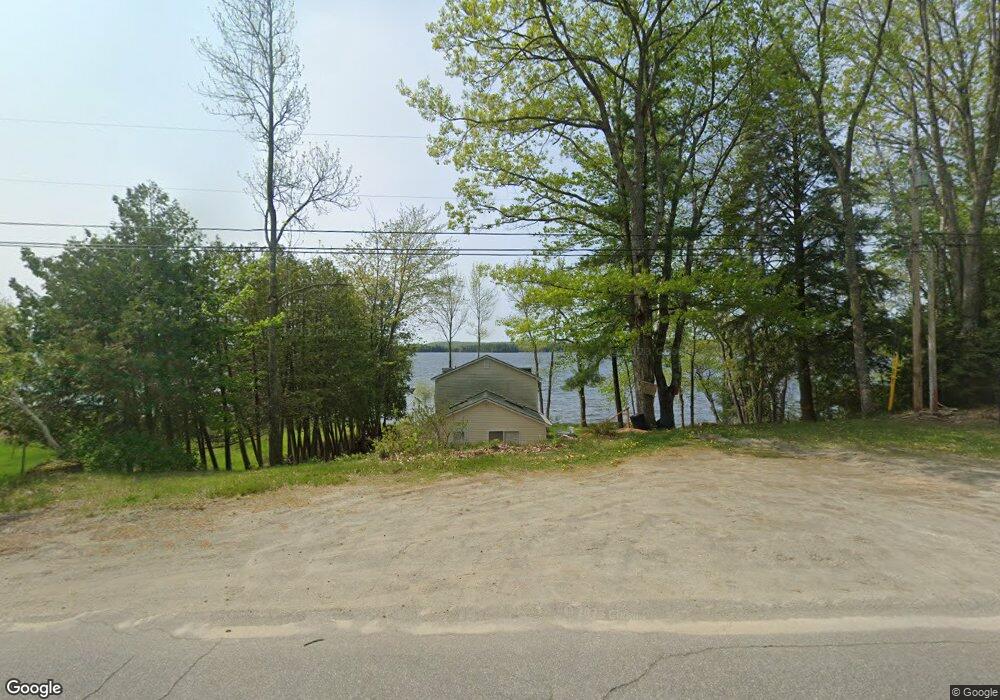
70 N Shore Dr Smithfield, ME 04978
Estimated Value: $403,000 - $514,000
2
Beds
2
Baths
1,780
Sq Ft
$257/Sq Ft
Est. Value
About This Home
This home is located at 70 N Shore Dr, Smithfield, ME 04978 and is currently estimated at $457,824, approximately $257 per square foot. 70 N Shore Dr is a home located in Somerset County.
Ownership History
Date
Name
Owned For
Owner Type
Purchase Details
Closed on
Nov 30, 2018
Sold by
Pruett Michael G
Bought by
Gill Charleen
Current Estimated Value
Home Financials for this Owner
Home Financials are based on the most recent Mortgage that was taken out on this home.
Original Mortgage
$136,090
Outstanding Balance
$119,898
Interest Rate
4.8%
Mortgage Type
New Conventional
Estimated Equity
$337,926
Purchase Details
Closed on
Dec 16, 2014
Sold by
Eiseman Stephen and Eiseman Elizabeth
Bought by
Pruett Michael G
Home Financials for this Owner
Home Financials are based on the most recent Mortgage that was taken out on this home.
Original Mortgage
$135,000
Interest Rate
3.98%
Mortgage Type
New Conventional
Create a Home Valuation Report for This Property
The Home Valuation Report is an in-depth analysis detailing your home's value as well as a comparison with similar homes in the area
Home Values in the Area
Average Home Value in this Area
Purchase History
| Date | Buyer | Sale Price | Title Company |
|---|---|---|---|
| Gill Charleen | -- | -- | |
| Pruett Michael G | -- | -- |
Source: Public Records
Mortgage History
| Date | Status | Borrower | Loan Amount |
|---|---|---|---|
| Open | Gill Charleen | $136,090 | |
| Previous Owner | Pruett Michael G | $135,000 |
Source: Public Records
Tax History Compared to Growth
Tax History
| Year | Tax Paid | Tax Assessment Tax Assessment Total Assessment is a certain percentage of the fair market value that is determined by local assessors to be the total taxable value of land and additions on the property. | Land | Improvement |
|---|---|---|---|---|
| 2024 | $3,745 | $267,500 | $141,800 | $125,700 |
| 2023 | $3,048 | $181,400 | $96,200 | $85,200 |
| 2022 | $3,048 | $181,400 | $96,200 | $85,200 |
| 2021 | $3,272 | $195,900 | $96,200 | $99,700 |
| 2020 | $3,223 | $193,000 | $96,200 | $96,800 |
| 2019 | $3,223 | $193,000 | $96,200 | $96,800 |
| 2018 | $3,198 | $193,800 | $96,200 | $97,600 |
| 2017 | $3,295 | $193,800 | $96,200 | $97,600 |
| 2016 | $3,295 | $193,800 | $96,200 | $97,600 |
| 2015 | $2,761 | $166,300 | $96,200 | $70,100 |
| 2013 | $2,470 | $166,300 | $96,200 | $70,100 |
Source: Public Records
Map
Nearby Homes
- Lot 2 Oak Hill Rd
- Lot 1 Oak Hill Rd
- 6 Lufkin Ln
- 39 Lake View Dr
- 10 Trista Ln
- 96 Oak Hill Rd
- 600 Village Rd
- 165 Meadow Ln
- 177 Meadow Ln
- M18L13 Mercer Rd
- M10/18-7 Brown Rd
- Lot 12-4 Mcnulty Ln
- 00 U S Highway 2
- 324 Village Rd
- 125 N Pond Rd
- 17 Claude Brewer Rd
- 5 Blueberry Ln
- 43 Doane Rd
- 257 Rome Rd
- 204 Rome Rd