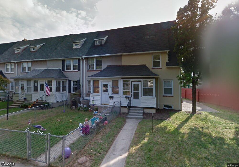
70 Northship Rd Dundalk, MD 21222
Estimated Value: $141,000 - $174,000
Studio
1
Bath
864
Sq Ft
$180/Sq Ft
Est. Value
About This Home
This home is located at 70 Northship Rd, Dundalk, MD 21222 and is currently estimated at $155,091, approximately $179 per square foot. 70 Northship Rd is a home located in Baltimore County with nearby schools including Dundalk Elementary, Dundalk Middle School, and Dundalk High School.
Ownership History
Date
Name
Owned For
Owner Type
Purchase Details
Closed on
Apr 26, 2019
Sold by
Matheny Robert E and Matheny Jacqueline A
Bought by
Antivero Capital Llc
Current Estimated Value
Home Financials for this Owner
Home Financials are based on the most recent Mortgage that was taken out on this home.
Original Mortgage
$105,000
Interest Rate
4.1%
Mortgage Type
Commercial
Purchase Details
Closed on
Mar 11, 1991
Sold by
Miller Clarence T
Bought by
Matheny Robert E and Matheny Jacqueline A
Create a Home Valuation Report for This Property
The Home Valuation Report is an in-depth analysis detailing your home's value as well as a comparison with similar homes in the area
Home Values in the Area
Average Home Value in this Area
Purchase History
| Date | Buyer | Sale Price | Title Company |
|---|---|---|---|
| Antivero Capital Llc | $62,150 | Lakeside Title Co | |
| Matheny Robert E | $65,900 | -- |
Source: Public Records
Mortgage History
| Date | Status | Borrower | Loan Amount |
|---|---|---|---|
| Previous Owner | Antivero Capital Llc | $105,000 |
Source: Public Records
Tax History
| Year | Tax Paid | Tax Assessment Tax Assessment Total Assessment is a certain percentage of the fair market value that is determined by local assessors to be the total taxable value of land and additions on the property. | Land | Improvement |
|---|---|---|---|---|
| 2025 | $2,199 | $112,167 | -- | -- |
| 2024 | $2,199 | $103,233 | $0 | $0 |
| 2023 | $1,935 | $94,300 | $36,000 | $58,300 |
| 2022 | $1,845 | $92,633 | $0 | $0 |
| 2020 | $1,728 | $89,300 | $36,000 | $53,300 |
| 2019 | $1,064 | $87,800 | $0 | $0 |
| 2018 | $1,465 | $86,300 | $0 | $0 |
| 2017 | $1,367 | $84,800 | $0 | $0 |
| 2016 | -- | $84,467 | $0 | $0 |
| 2015 | $1,613 | $84,133 | $0 | $0 |
| 2014 | $1,613 | $83,800 | $0 | $0 |
Source: Public Records
Map
Nearby Homes
- 37 Liberty Pkwy
- 2616 Liberty Pkwy
- 7150 Smoke Stack Rd
- 7191 Smoke Stack Rd
- 49 Kinship Rd
- 7113 Foundry St
- 35 Kinship Rd
- 120 Kinship Rd
- 7151 Sollers Point Rd
- 78 N Dundalk Ave
- 101 Willow Spring Rd
- 100 Shipway
- 100 Willow Spring Rd
- 118 Ventnor Terrace
- 213 Colgate Ave
- 241 Colgate Ave
- 7111 Sollers Point Rd
- 1849 Portship Rd
- 1940H Robinwood Rd
- 138 Highshire Ct
- 68 Northship Rd
- 72 Northship Rd
- 66 Northship Rd
- 64 Northship Rd
- 62 Northship Rd
- 67 Admiral Blvd
- 69 Admiral Blvd
- 65 Admiral Blvd
- 63 Admiral Blvd
- 62 Township Rd
- 64 Township Rd
- 60 Township Rd
- 61 Admiral Blvd
- 59 Admiral Blvd
- 55 Northship Rd
- 53 Northship Rd
- 57 Northship Rd
- 51 Northship Rd
- 49 Northship Rd
- 71 Admiral Blvd
Your Personal Tour Guide
Ask me questions while you tour the home.