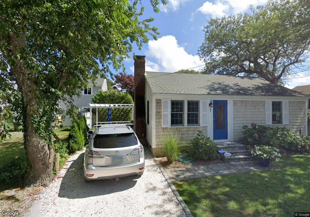
70 Oak St Dennis Port, MA 02639
Dennis Port NeighborhoodEstimated Value: $1,711,000 - $3,076,214
6
Beds
3
Baths
3,201
Sq Ft
$763/Sq Ft
Est. Value
About This Home
This home is located at 70 Oak St, Dennis Port, MA 02639 and is currently estimated at $2,443,071, approximately $763 per square foot. 70 Oak St is a home located in Barnstable County with nearby schools including Dennis-Yarmouth Regional High School and St. Pius X. School.
Ownership History
Date
Name
Owned For
Owner Type
Purchase Details
Closed on
Feb 4, 2021
Sold by
Glendon Yvonne M and Glendon Robert J
Bought by
Glendon Ft and Southworth
Current Estimated Value
Purchase Details
Closed on
Sep 20, 2002
Sold by
Oak St 70 Rt and Chistolini
Bought by
Glendon Robert J and Glendon Yvonne M
Home Financials for this Owner
Home Financials are based on the most recent Mortgage that was taken out on this home.
Original Mortgage
$400,000
Interest Rate
6.36%
Mortgage Type
Purchase Money Mortgage
Purchase Details
Closed on
Jan 29, 1990
Sold by
Newton Richard D
Bought by
Chistolini John A
Home Financials for this Owner
Home Financials are based on the most recent Mortgage that was taken out on this home.
Original Mortgage
$262,000
Interest Rate
9.67%
Mortgage Type
Purchase Money Mortgage
Create a Home Valuation Report for This Property
The Home Valuation Report is an in-depth analysis detailing your home's value as well as a comparison with similar homes in the area
Home Values in the Area
Average Home Value in this Area
Purchase History
| Date | Buyer | Sale Price | Title Company |
|---|---|---|---|
| Glendon Ft | -- | None Available | |
| Glendon Ft | -- | None Available | |
| Glendon Robert J | $1,000,000 | -- | |
| Glendon Robert J | $1,000,000 | -- | |
| Glendon Robert J | $1,000,000 | -- | |
| Chistolini John A | $327,500 | -- |
Source: Public Records
Mortgage History
| Date | Status | Borrower | Loan Amount |
|---|---|---|---|
| Previous Owner | Glendon Robert J | $400,000 | |
| Previous Owner | Chistolini John A | $342,500 | |
| Previous Owner | Chistolini John A | $262,000 |
Source: Public Records
Tax History Compared to Growth
Tax History
| Year | Tax Paid | Tax Assessment Tax Assessment Total Assessment is a certain percentage of the fair market value that is determined by local assessors to be the total taxable value of land and additions on the property. | Land | Improvement |
|---|---|---|---|---|
| 2025 | $12,688 | $2,930,300 | $1,601,300 | $1,329,000 |
| 2024 | $12,245 | $2,789,200 | $1,540,000 | $1,249,200 |
| 2023 | $11,843 | $2,535,900 | $1,399,900 | $1,136,000 |
| 2022 | $10,742 | $1,918,300 | $1,261,100 | $657,200 |
| 2021 | $10,581 | $1,754,700 | $1,236,300 | $518,400 |
| 2020 | $10,523 | $1,725,100 | $1,236,300 | $488,800 |
| 2019 | $10,741 | $1,740,800 | $1,212,200 | $528,600 |
| 2018 | $8,596 | $1,355,900 | $928,700 | $427,200 |
| 2017 | $8,339 | $1,356,000 | $928,800 | $427,200 |
| 2016 | $9,320 | $1,427,300 | $1,062,500 | $364,800 |
| 2015 | $8,555 | $1,336,700 | $1,062,500 | $274,200 |
| 2014 | -- | $1,330,600 | $1,062,500 | $268,100 |
Source: Public Records
Map
Nearby Homes
- 262 Old Wharf Rd Unit 67
- 262 Old Wharf Rd Unit 5
- 262 Old Wharf Rd Unit 5
- 262 Old Wharf Rd Unit 20
- 262 Old Wharf Rd Unit 87
- 241 Old Wharf Rd Unit 82
- 241 Old Wharf Rd Unit 127
- 241 Old Wharf Rd Unit 90
- 37 Beach Hills Rd
- 37-A Beach Hills Rd
- 217 Old Wharf Rd Unit 64
- 22 Ferncliff Rd
- 154 Old Wharf Rd Unit 26
- 154 Old Wharf Rd Unit 14
- 102 Sea St
- 402 Old Wharf Rd
- 402 Old Wharf Rd
- 405 Old Wharf Rd Unit B204
- 405 Old Wharf Rd Unit B204
- 120 Old Wharf Rd Unit 11
- 70 Oak St Extension
- 74 Oak St
- 74 Oak St Extension
- 2 Beach Hills Rd Unit 8
- 2 Beach St Unit 7
- 2 Beach St Unit 6
- 2 Beach St Unit 5
- 2 Beach St Unit 4
- 2 Beach St Unit 3
- 2 Beach St
- 2 Beach St Unit 1
- 2 Beach Hills Rd Unit F
- 2 Beach Hills Rd Unit 2E
- 2 Beach Hills Rd Unit 4C
- 2 Beach Hills Rd Unit 3B
- 2 Beach Hills Rd Unit 1H
- 2 Beach Hills Rd Unit 6E
- 2 Beach Hills Rd Unit 5D
- 2 Beach Hills Rd Unit 2A
- 2 Beach Hills Rd Unit 7F