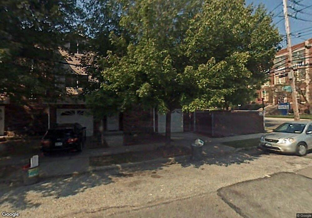
70 Oberlin St Staten Island, NY 10305
South Beach NeighborhoodEstimated Value: $666,000 - $736,000
3
Beds
2
Baths
1,794
Sq Ft
$395/Sq Ft
Est. Value
About This Home
This home is located at 70 Oberlin St, Staten Island, NY 10305 and is currently estimated at $708,279, approximately $394 per square foot. 70 Oberlin St is a home located in Richmond County with nearby schools including P.S. 46 Albert V Maniscalco, I.S. 49 Berta A Dreyfus, and Curtis High School.
Ownership History
Date
Name
Owned For
Owner Type
Purchase Details
Closed on
Aug 4, 2005
Sold by
Scagluiso Susan
Bought by
Xhepa Ilirjan and Xhepa Brunilda
Current Estimated Value
Home Financials for this Owner
Home Financials are based on the most recent Mortgage that was taken out on this home.
Original Mortgage
$250,000
Interest Rate
5.92%
Mortgage Type
Fannie Mae Freddie Mac
Purchase Details
Closed on
Feb 24, 2004
Sold by
Scagluiso Joseph and Scagluiso Susan R
Bought by
Scaluiso Susan
Create a Home Valuation Report for This Property
The Home Valuation Report is an in-depth analysis detailing your home's value as well as a comparison with similar homes in the area
Home Values in the Area
Average Home Value in this Area
Purchase History
| Date | Buyer | Sale Price | Title Company |
|---|---|---|---|
| Xhepa Ilirjan | $357,500 | Ticor Title Insurance Co | |
| Scaluiso Susan | $290,000 | -- |
Source: Public Records
Mortgage History
| Date | Status | Borrower | Loan Amount |
|---|---|---|---|
| Previous Owner | Xhepa Ilirjan | $250,000 |
Source: Public Records
Tax History Compared to Growth
Tax History
| Year | Tax Paid | Tax Assessment Tax Assessment Total Assessment is a certain percentage of the fair market value that is determined by local assessors to be the total taxable value of land and additions on the property. | Land | Improvement |
|---|---|---|---|---|
| 2025 | $5,882 | $47,460 | $4,670 | $42,790 |
| 2024 | $5,882 | $40,680 | $5,140 | $35,540 |
| 2023 | $5,611 | $27,628 | $5,260 | $22,368 |
| 2022 | $5,203 | $37,860 | $7,140 | $30,720 |
| 2021 | $5,485 | $37,440 | $7,140 | $30,300 |
| 2020 | $5,475 | $35,220 | $7,140 | $28,080 |
| 2019 | $5,105 | $32,400 | $7,140 | $25,260 |
| 2018 | $4,693 | $23,023 | $5,524 | $17,499 |
| 2017 | $4,428 | $21,720 | $7,140 | $14,580 |
| 2016 | $4,615 | $23,085 | $6,817 | $16,268 |
| 2015 | $3,979 | $21,841 | $5,352 | $16,489 |
| 2014 | $3,979 | $20,736 | $5,882 | $14,854 |
Source: Public Records
Map
Nearby Homes
- 220 Norway Ave
- 71 Cameron Ave
- 236 Mallory Ave
- 270 Norway Ave
- 504 Mcclean Ave
- 139 Hurlbert St
- 115 W Broadway Unit 4
- 160 Reid Ave
- 68 Kensington Ave
- 4 Mccormick Place
- 166 Jerome Ave
- 51 Laconia Ave
- 109 Jerome Ave
- 25 Mallory Ave
- 116 Bionia Ave
- 193 Olympia Blvd
- 57 Jerome Rd
- 226 Olympia Blvd Unit 228
- 11 Lava St
- 125 Laconia Ave
- 72 Oberlin St
- 36 Reid Ave
- 38 Reid Ave
- 74 Oberlin St
- 76 Oberlin St
- 20 Reid Ave
- 78 Oberlin St
- 331 Parkinson Ave
- 329 Parkinson Ave
- 333 Parkinson Ave
- 84 Oberlin St
- 335 Parkinson Ave
- 16 Reid Ave
- 337 Parkinson Ave
- 339 Parkinson Ave
- 343-347 Parkinson Ave
- 85 Oberlin St
- 14 Reid Ave
- 343 Parkinson Ave Unit 347
- 88 Oberlin St