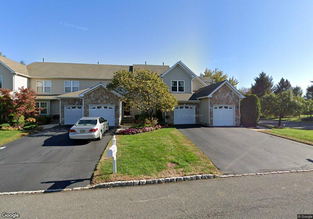
70 Palmer Dr Unit 23 Moorestown, NJ 08057
Estimated Value: $585,155 - $676,000
--
Bed
--
Bath
2,532
Sq Ft
$244/Sq Ft
Est. Value
About This Home
This home is located at 70 Palmer Dr Unit 23, Moorestown, NJ 08057 and is currently estimated at $616,789, approximately $243 per square foot. 70 Palmer Dr Unit 23 is a home located in Burlington County with nearby schools including South Valley Elementary School, Moorestown Upper Elementary School, and William Allen Middle School.
Ownership History
Date
Name
Owned For
Owner Type
Purchase Details
Closed on
Feb 4, 2000
Sold by
Laurel Creek Lp
Bought by
Herlich Karen J
Current Estimated Value
Home Financials for this Owner
Home Financials are based on the most recent Mortgage that was taken out on this home.
Original Mortgage
$225,000
Outstanding Balance
$73,020
Interest Rate
7.91%
Mortgage Type
Stand Alone First
Estimated Equity
$543,769
Create a Home Valuation Report for This Property
The Home Valuation Report is an in-depth analysis detailing your home's value as well as a comparison with similar homes in the area
Home Values in the Area
Average Home Value in this Area
Purchase History
| Date | Buyer | Sale Price | Title Company |
|---|---|---|---|
| Herlich Karen J | $282,438 | -- | |
| -- | $282,400 | -- |
Source: Public Records
Mortgage History
| Date | Status | Borrower | Loan Amount |
|---|---|---|---|
| Open | -- | $225,000 |
Source: Public Records
Tax History Compared to Growth
Tax History
| Year | Tax Paid | Tax Assessment Tax Assessment Total Assessment is a certain percentage of the fair market value that is determined by local assessors to be the total taxable value of land and additions on the property. | Land | Improvement |
|---|---|---|---|---|
| 2025 | $9,507 | $335,100 | $90,000 | $245,100 |
| 2024 | $9,219 | $335,100 | $90,000 | $245,100 |
| 2023 | $9,219 | $335,100 | $90,000 | $245,100 |
| 2022 | $9,125 | $335,100 | $90,000 | $245,100 |
| 2021 | $9,004 | $335,100 | $90,000 | $245,100 |
| 2020 | $8,947 | $335,100 | $90,000 | $245,100 |
| 2019 | $8,790 | $335,100 | $90,000 | $245,100 |
| 2018 | $8,552 | $335,100 | $90,000 | $245,100 |
| 2017 | $8,238 | $335,100 | $90,000 | $245,100 |
| 2016 | $8,595 | $335,100 | $90,000 | $245,100 |
| 2015 | $8,491 | $335,100 | $90,000 | $245,100 |
| 2014 | $8,063 | $335,100 | $90,000 | $245,100 |
Source: Public Records
Map
Nearby Homes
- 40 Palmer Dr Unit 110
- 158 Sarazen Dr
- 127 Oakmont Dr
- 14 Baltusrol Terrace
- 482 Monte Farm Rd
- 39 Bramley Rd
- 69 Sister's Farmstead Rd
- 22 Cardinal Way
- 97 Brooks Rd
- 107 Hartford Rd
- 5 Murray Rd
- 950 Bortons Landing Rd
- 901 Mcelwee Rd
- 7503A Normandy Dr Unit 7503
- 57 Brooks Rd
- 3604B Chadbury Rd
- 163 Memorial Ln
- 8006 Normandy Dr Unit 8006
- 21 Lancelot Ln
- 20 Starboard Way
- 68 Palmer Dr
- 72 Palmer Dr Unit 126
- 66 Palmer Dr
- 64 Palmer Dr Unit 122
- 62 Palmer Dr Unit 121
- 73 Palmer Dr Unit 4
- 69 Palmer Dr
- 71 Palmer Dr Unit 3
- 67 Palmer Dr Unit 1
- 60 Palmer Dr Unit 1200
- 58 Palmer Dr Unit 119
- 209 Country Club Dr
- 207 Country Club Dr
- 2 Hogan Way Unit 5
- 211 Country Club Dr
- 56 Palmer Dr
- 1 Hogan Way Unit 27
- 4 Hogan Way Unit 97
- 6 Hogan Way Unit 7
- 3 Hogan Way Unit 28