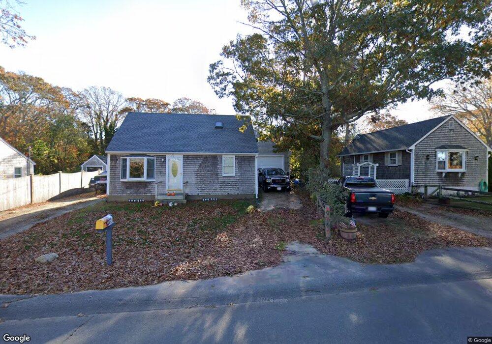
70 Pine Tree Rd Vineyard Haven, MA 02568
Vineyard Haven NeighborhoodEstimated Value: $755,000 - $1,231,000
3
Beds
1
Bath
835
Sq Ft
$1,116/Sq Ft
Est. Value
About This Home
This home is located at 70 Pine Tree Rd, Vineyard Haven, MA 02568 and is currently estimated at $932,062, approximately $1,116 per square foot. 70 Pine Tree Rd is a home located in Dukes County with nearby schools including Tisbury Elementary School, Martha's Vineyard Regional High School, and Martha's Vineyard Charter School.
Ownership History
Date
Name
Owned For
Owner Type
Purchase Details
Closed on
Oct 27, 2017
Sold by
Maciel Russell S and Maciel Sharon L
Bought by
70 Pine Tree Nt
Current Estimated Value
Purchase Details
Closed on
Jun 20, 1973
Bought by
Maciel Russell S
Create a Home Valuation Report for This Property
The Home Valuation Report is an in-depth analysis detailing your home's value as well as a comparison with similar homes in the area
Home Values in the Area
Average Home Value in this Area
Purchase History
| Date | Buyer | Sale Price | Title Company |
|---|---|---|---|
| 70 Pine Tree Nt | -- | -- | |
| Maciel Russell S | -- | -- |
Source: Public Records
Mortgage History
| Date | Status | Borrower | Loan Amount |
|---|---|---|---|
| Previous Owner | Maciel Russell S | $10,000 | |
| Previous Owner | Maciel Russell S | $55,000 | |
| Previous Owner | Maciel Russell S | $42,000 | |
| Previous Owner | Maciel Russell S | $27,000 |
Source: Public Records
Tax History
| Year | Tax Paid | Tax Assessment Tax Assessment Total Assessment is a certain percentage of the fair market value that is determined by local assessors to be the total taxable value of land and additions on the property. | Land | Improvement |
|---|---|---|---|---|
| 2025 | $5,196 | $686,400 | $387,400 | $299,000 |
| 2024 | $4,430 | $555,100 | $301,400 | $253,700 |
| 2023 | $4,069 | $555,900 | $287,100 | $268,800 |
| 2022 | $3,739 | $429,800 | $193,300 | $236,500 |
| 2021 | $3,571 | $389,400 | $212,600 | $176,800 |
| 2020 | $3,406 | $365,100 | $193,300 | $171,800 |
| 2019 | $3,349 | $365,200 | $193,300 | $171,900 |
| 2018 | $3,012 | $318,700 | $183,700 | $135,000 |
| 2017 | $2,858 | $313,700 | $183,700 | $130,000 |
| 2016 | $2,651 | $289,400 | $157,400 | $132,000 |
| 2015 | $2,199 | $246,500 | $124,500 | $122,000 |
Source: Public Records
Map
Nearby Homes
- 5A2.12 State Rd
- 378 State Rd
- 15 Goah Way
- 51 Lantern Ln
- 50 Lantern Ln
- 35 Mount Aldworth Rd
- 61 Causeway Rd
- 70 Spring St
- 140 Midland Ave
- 11 Macs Ln
- 96 Dunham Ave
- 124 Skiff Ave Unit C-12
- 124 Skiff Ave Unit D-10
- 124 Skiff Ave Unit C-12
- 34 Davis St
- 56 Holmes Hole Rd Unit 10
- 56 Holmes Hole Rd
- 344 Greenwood Ave
- 33 Lagoon Pond Rd
- 10 Putnam Way
Your Personal Tour Guide
Ask me questions while you tour the home.